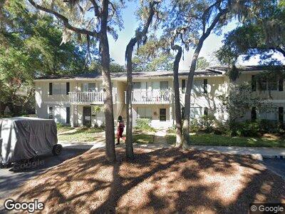
118 Barkentine Ct Saint Simons Island, GA 31522
Saint Simons NeighborhoodEstimated Value: $300,000 - $362,000
2
Beds
2
Baths
1,166
Sq Ft
$277/Sq Ft
Est. Value
About This Home
This home is located at 118 Barkentine Ct, Saint Simons Island, GA 31522 and is currently estimated at $323,450, approximately $277 per square foot. 118 Barkentine Ct is a home located in Glynn County with nearby schools including Oglethorpe Point Elementary School, Glynn Middle School, and Glynn Academy.
Ownership History
Date
Name
Owned For
Owner Type
Purchase Details
Closed on
Jun 25, 2020
Sold by
Milton Joe
Bought by
Cohen Deana V
Current Estimated Value
Home Financials for this Owner
Home Financials are based on the most recent Mortgage that was taken out on this home.
Original Mortgage
$140,400
Outstanding Balance
$127,508
Interest Rate
3.1%
Mortgage Type
New Conventional
Purchase Details
Closed on
Jul 20, 2006
Sold by
Ford Nancy Milton
Bought by
Milton Sara L and Milton Carl J
Create a Home Valuation Report for This Property
The Home Valuation Report is an in-depth analysis detailing your home's value as well as a comparison with similar homes in the area
Home Values in the Area
Average Home Value in this Area
Purchase History
| Date | Buyer | Sale Price | Title Company |
|---|---|---|---|
| Cohen Deana V | $156,000 | -- | |
| Milton Sara L | -- | -- |
Source: Public Records
Mortgage History
| Date | Status | Borrower | Loan Amount |
|---|---|---|---|
| Open | Cohen Deana V | $140,400 |
Source: Public Records
Tax History Compared to Growth
Tax History
| Year | Tax Paid | Tax Assessment Tax Assessment Total Assessment is a certain percentage of the fair market value that is determined by local assessors to be the total taxable value of land and additions on the property. | Land | Improvement |
|---|---|---|---|---|
| 2024 | $2,508 | $100,000 | $0 | $100,000 |
| 2023 | $1,136 | $100,000 | $0 | $100,000 |
| 2022 | $1,550 | $100,000 | $0 | $100,000 |
| 2021 | $1,484 | $62,400 | $0 | $62,400 |
| 2020 | $1,744 | $66,800 | $0 | $66,800 |
| 2019 | $1,744 | $66,800 | $0 | $66,800 |
| 2018 | $1,661 | $63,600 | $0 | $63,600 |
| 2017 | $1,476 | $56,520 | $0 | $56,520 |
| 2016 | $1,356 | $56,520 | $0 | $56,520 |
| 2015 | $1,362 | $56,520 | $0 | $56,520 |
| 2014 | $1,362 | $56,520 | $0 | $56,520 |
Source: Public Records
Map
Nearby Homes
- 247 Walmar Grove
- 233 Walmar Grove
- 321 Lantern Walk
- 227 Walmar Grove
- 210 Walmar Grove
- 302 Lantern Walk
- 116 Ashwood Way
- 342 Brockinton Marsh
- 525 Brockinton S
- 362 Brockinton Marsh
- 116 Shady Brook Cir Unit 300
- 524 Brockinton S
- 102 Brookfield Trace
- 112 Hanging Moss Dr
- 323 Brockinton Marsh
- 1407 Reserve Ct
- 2513 Demere Rd Unit 8
- 8 Canopy Ct
- 3 Canopy Ct
- 18 Canopy Ct
- 118 Barkentine Ct
- 117 Barkentine Ct
- 119 Barkentine Ct
- 119 Barkentine Ct
- 119 Barkentine Ct Unit E-3
- 120 Barkentine Ct
- 121 Barkentine Ct
- 122 Barkentine Ct
- 122 Barkentine Ct Unit 2F
- 116 Barkentine Ct
- 115 Barkentine Ct
- 115 Barkentine Ct Unit 3-D
- 115 Barkentine Ct Unit D-3
- 123 Barkentine Ct
- 114 Barkentine Ct
- 124 Barkentine Ct
- 124 Barkentine Ct Unit 124
- 124 Barkentine Ct Unit F
- 113 Barkentine Ct
- 113 Bartintine Ct Unit 113