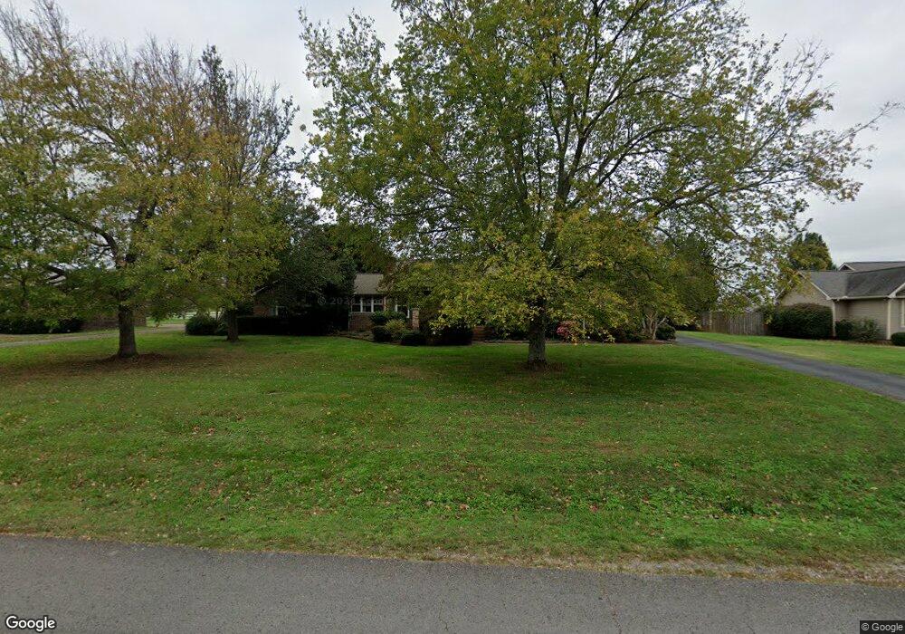
118 Brandi Way Winchester, TN 37398
Estimated Value: $321,709 - $407,000
--
Bed
3
Baths
1,866
Sq Ft
$198/Sq Ft
Est. Value
About This Home
This home is located at 118 Brandi Way, Winchester, TN 37398 and is currently estimated at $369,177, approximately $197 per square foot. 118 Brandi Way is a home located in Franklin County with nearby schools including North Middle School, Franklin County High School, and Winchester Christian Academy.
Ownership History
Date
Name
Owned For
Owner Type
Purchase Details
Closed on
Mar 22, 2002
Sold by
Gean Timothy W
Bought by
Jenkins Michael S
Current Estimated Value
Home Financials for this Owner
Home Financials are based on the most recent Mortgage that was taken out on this home.
Original Mortgage
$112,550
Outstanding Balance
$46,154
Interest Rate
6.8%
Estimated Equity
$323,023
Purchase Details
Closed on
Jul 11, 1988
Bought by
Hall Raymond Ronald
Purchase Details
Closed on
Jul 8, 1985
Bought by
Womack William W and Womack Peggy S
Create a Home Valuation Report for This Property
The Home Valuation Report is an in-depth analysis detailing your home's value as well as a comparison with similar homes in the area
Home Values in the Area
Average Home Value in this Area
Purchase History
| Date | Buyer | Sale Price | Title Company |
|---|---|---|---|
| Jenkins Michael S | $118,500 | -- | |
| Hall Raymond Ronald | $85,000 | -- | |
| Womack William W | -- | -- |
Source: Public Records
Mortgage History
| Date | Status | Borrower | Loan Amount |
|---|---|---|---|
| Open | Womack William W | $112,550 |
Source: Public Records
Tax History Compared to Growth
Tax History
| Year | Tax Paid | Tax Assessment Tax Assessment Total Assessment is a certain percentage of the fair market value that is determined by local assessors to be the total taxable value of land and additions on the property. | Land | Improvement |
|---|---|---|---|---|
| 2024 | $1,869 | $72,700 | $12,500 | $60,200 |
| 2023 | $1,869 | $72,700 | $12,500 | $60,200 |
| 2022 | $1,833 | $72,700 | $12,500 | $60,200 |
| 2021 | $1,046 | $72,700 | $12,500 | $60,200 |
| 2020 | $1,443 | $40,825 | $5,300 | $35,525 |
| 2019 | $1,443 | $40,825 | $5,300 | $35,525 |
| 2018 | $1,359 | $40,825 | $5,300 | $35,525 |
| 2017 | $1,359 | $40,825 | $5,300 | $35,525 |
| 2016 | $1,245 | $37,400 | $4,825 | $32,575 |
| 2015 | $1,245 | $37,400 | $4,825 | $32,575 |
| 2014 | $1,222 | $37,392 | $0 | $0 |
Source: Public Records
Map
Nearby Homes
- 103 Lisa Cir
- 510 N Porter St
- 0 Spring Hill Dr
- 0 N Porter St
- 303 N Porter St
- 203 3rd Ave NE
- 201&203 3rd Ave NE
- 311 N Jefferson St
- 1108 N Jefferson St
- 715 N High St
- 209 N Jefferson St
- 706 N Vine St
- 74 Summerlake Ct
- 0 Summerlake Ct Unit RTC2936678
- 0 Summerlake Ct Unit RTC2936679
- 0 Summerlake Ct Unit RTC2936676
- 0 Summerlake Ct Unit RTC2936675
- 0 Summerlake Ct Unit RTC2936677
- 0 Summerlake Ct Unit RTC2936673
- 0 Summerlake Ct Unit RTC2936674