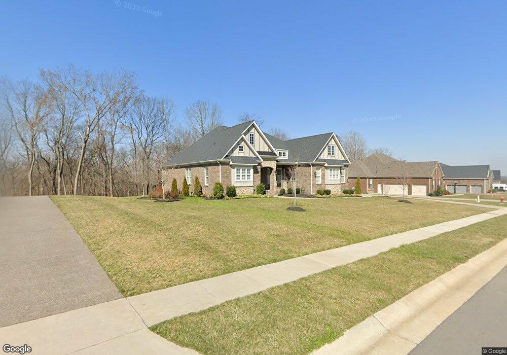
118 Brooksbank Dr Nolensville, TN 37135
Estimated Value: $1,064,571 - $1,278,000
3
Beds
3
Baths
2,826
Sq Ft
$414/Sq Ft
Est. Value
About This Home
This home is located at 118 Brooksbank Dr, Nolensville, TN 37135 and is currently estimated at $1,171,286, approximately $414 per square foot. 118 Brooksbank Dr is a home located in Williamson County with nearby schools including Jordan Elementary School, Sunset Middle School, and Nolensville High School.
Ownership History
Date
Name
Owned For
Owner Type
Purchase Details
Closed on
Oct 24, 2018
Sold by
The Jones Company Of Tennessee Llc
Bought by
Keener Gary Norman and Keener Melita Ruth
Current Estimated Value
Home Financials for this Owner
Home Financials are based on the most recent Mortgage that was taken out on this home.
Original Mortgage
$453,100
Outstanding Balance
$395,971
Interest Rate
4.6%
Mortgage Type
New Conventional
Estimated Equity
$775,315
Create a Home Valuation Report for This Property
The Home Valuation Report is an in-depth analysis detailing your home's value as well as a comparison with similar homes in the area
Home Values in the Area
Average Home Value in this Area
Purchase History
| Date | Buyer | Sale Price | Title Company |
|---|---|---|---|
| Keener Gary Norman | $655,780 | None Available |
Source: Public Records
Mortgage History
| Date | Status | Borrower | Loan Amount |
|---|---|---|---|
| Open | Keener Gary Norman | $453,100 |
Source: Public Records
Tax History Compared to Growth
Tax History
| Year | Tax Paid | Tax Assessment Tax Assessment Total Assessment is a certain percentage of the fair market value that is determined by local assessors to be the total taxable value of land and additions on the property. | Land | Improvement |
|---|---|---|---|---|
| 2025 | $3,680 | $269,725 | $81,250 | $188,475 |
| 2024 | $3,680 | $169,550 | $45,000 | $124,550 |
| 2023 | $3,680 | $169,550 | $45,000 | $124,550 |
| 2022 | $3,680 | $169,550 | $45,000 | $124,550 |
| 2021 | $3,680 | $169,550 | $45,000 | $124,550 |
| 2020 | $3,802 | $151,500 | $30,000 | $121,500 |
| 2019 | $3,590 | $151,500 | $30,000 | $121,500 |
| 2018 | $690 | $30,000 | $30,000 | $0 |
| 2017 | $684 | $30,000 | $30,000 | $0 |
Source: Public Records
Map
Nearby Homes
- 130 Brooksbank Dr
- 1963 Napa Dr
- 1973 Napa Dr
- 1950 Napa Dr
- 9820 Sam Donald Rd
- 1969 Napa Dr
- 1958 Napa Dr
- 9902 Amarosa Ct
- 9906 Amarosa Ct
- 9909 Amarosa Ct
- 1953 Napa Dr
- 1974 Napa Dr
- 1971 Napa Dr
- 7024 Fishing Creek Rd
- 1818 Eaves Ct
- 9908 Amarosa Ct
- 2004 Vail Trace
- 2029 Delaware Dr
- 2025 Delaware Dr
- 9905 Elland Rd
- 122 Brooksbank Dr
- 114 Brooksbank Dr
- 110 Brooksbank Dr
- 126 Brooksbank Dr
- 57 Brooksbank Dr
- 58 Brooksbank Dr
- 106 Brooksbank Dr
- 131 Brooksbank Dr
- 105 Brooksbank Dr
- 105 Brooksbank Dr Unit 58
- 127 Brooksbank Dr Unit 57
- 127 Brooksbank Dr
- 134 Brooksbank Dr
- 134 Brooksbank Dr Unit 9
- 134 Brooksbank Dr Unit 9
- 304 Redding Ct
- 304 Redding Ct Unit 10
- 102 Brooksbank Dr
- 308 Redding Ct
- 308 Redding Ct Unit 11