118 Callis Rd Lancaster, VA 22503
Estimated Value: $835,000 - $868,494
3
Beds
3
Baths
2,716
Sq Ft
$312/Sq Ft
Est. Value
About This Home
This home is located at 118 Callis Rd, Lancaster, VA 22503 and is currently estimated at $848,374, approximately $312 per square foot. 118 Callis Rd is a home located in Lancaster County with nearby schools including Lancaster Primary School, Lancaster Middle School, and Lancaster High School.
Ownership History
Date
Name
Owned For
Owner Type
Purchase Details
Closed on
Jul 7, 2020
Sold by
Owens Edward B
Bought by
Stroud Robert Lee and Lucas Christie Michelle
Current Estimated Value
Home Financials for this Owner
Home Financials are based on the most recent Mortgage that was taken out on this home.
Original Mortgage
$346,000
Outstanding Balance
$304,750
Interest Rate
3.1%
Mortgage Type
New Conventional
Estimated Equity
$543,624
Create a Home Valuation Report for This Property
The Home Valuation Report is an in-depth analysis detailing your home's value as well as a comparison with similar homes in the area
Purchase History
| Date | Buyer | Sale Price | Title Company |
|---|---|---|---|
| Stroud Robert Lee | $539,000 | Attorney |
Source: Public Records
Mortgage History
| Date | Status | Borrower | Loan Amount |
|---|---|---|---|
| Open | Stroud Robert Lee | $346,000 |
Source: Public Records
Tax History
| Year | Tax Paid | Tax Assessment Tax Assessment Total Assessment is a certain percentage of the fair market value that is determined by local assessors to be the total taxable value of land and additions on the property. | Land | Improvement |
|---|---|---|---|---|
| 2025 | $3,847 | $717,200 | $222,400 | $494,800 |
| 2024 | $3,847 | $717,200 | $222,400 | $494,800 |
| 2023 | $3,074 | $508,600 | $222,400 | $286,200 |
| 2022 | $3,074 | $508,600 | $222,400 | $286,200 |
| 2021 | $3,142 | $508,600 | $222,400 | $286,200 |
| 2020 | $3,204 | $508,600 | $222,400 | $286,200 |
| 2019 | $3,156 | $533,000 | $246,800 | $286,200 |
| 2018 | $2,965 | $528,300 | $266,900 | $261,400 |
| 2017 | $2,965 | $528,300 | $266,900 | $261,400 |
| 2016 | -- | $528,300 | $266,900 | $261,400 |
| 2014 | -- | $0 | $0 | $0 |
| 2013 | -- | $0 | $0 | $0 |
Source: Public Records
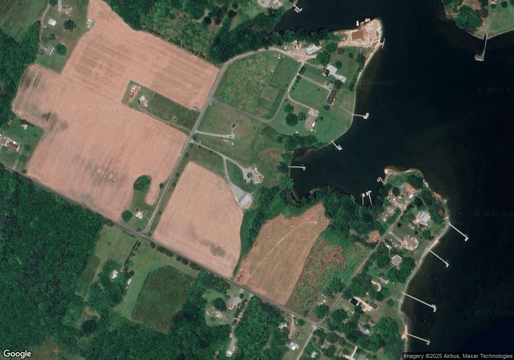
Map
Nearby Homes
- 2012 Millenbeck Rd
- 1020 Queenstown Rd
- 67 Lewis Ln
- 116 Leachwood Rd
- 90 Deep Harbor Ln
- 76 Otter Dr
- 000 Laurel Dr
- 0 Laurel Dr
- TBD Cove Colony Rd
- 00 Cove Colony Rd
- 24 Bermuda Rd
- 00 Bermuda Rd
- 162 Youcomico Dr
- 595 Lovers Ln
- Lot 6 Foxfield Ln
- tbd Tbd Wood Rd
- Lot 16 Cedar Pointe Dr
- 792 Oak Hill Rd
- 11003 River Rd
- Lot 5 Meyers Dr
- 146 Callis Rd
- 70 Keith Ln
- 0 Callis Rd
- 15 Keith Ln
- 11 Callis Rd
- 1890 Millenbeck Rd
- 314 Callis Rd
- 155 Town Creek Ln
- 23 Town Creek Ln
- 161 Town Creek Ln
- 118 Town Creek Ln
- 26 Town Creek Ln
- 86 Town Creek Ln
- 144 Town Creek Ln
- 1766 Millenbeck Rd
- 353 Callis Rd
- 1968 Millenbeck Rd
- 64 Town Creek Ln
- 64 Town Creek Ln
- 160 Town Creek Ln
Your Personal Tour Guide
Ask me questions while you tour the home.