118 Fieldstone Dr Pulaski, TN 38478
Estimated Value: $296,000 - $303,595
3
Beds
2
Baths
2,084
Sq Ft
$144/Sq Ft
Est. Value
About This Home
This home is located at 118 Fieldstone Dr, Pulaski, TN 38478 and is currently estimated at $299,399, approximately $143 per square foot. 118 Fieldstone Dr is a home located in Giles County with nearby schools including Richland Elementary School and Richland School.
Ownership History
Date
Name
Owned For
Owner Type
Purchase Details
Closed on
Mar 18, 2019
Sold by
Butler Michael Ryan
Bought by
Melton Bethany G
Current Estimated Value
Purchase Details
Closed on
Oct 1, 2013
Sold by
Steward Francille M
Bought by
Butler Michael Ryan and Melton Bethany Gabrielle
Home Financials for this Owner
Home Financials are based on the most recent Mortgage that was taken out on this home.
Original Mortgage
$99,900
Interest Rate
4.58%
Mortgage Type
Commercial
Purchase Details
Closed on
Jun 18, 2007
Sold by
Haislip James L
Bought by
Steward Francille M
Purchase Details
Closed on
Jun 18, 2004
Sold by
Marks Brian W
Bought by
Haislip James L
Create a Home Valuation Report for This Property
The Home Valuation Report is an in-depth analysis detailing your home's value as well as a comparison with similar homes in the area
Purchase History
| Date | Buyer | Sale Price | Title Company |
|---|---|---|---|
| Melton Bethany G | -- | None Available | |
| Butler Michael Ryan | $99,900 | -- | |
| Steward Francille M | $105,000 | -- | |
| Haislip James L | $91,500 | -- |
Source: Public Records
Mortgage History
| Date | Status | Borrower | Loan Amount |
|---|---|---|---|
| Previous Owner | Butler Michael Ryan | $99,900 |
Source: Public Records
Tax History
| Year | Tax Paid | Tax Assessment Tax Assessment Total Assessment is a certain percentage of the fair market value that is determined by local assessors to be the total taxable value of land and additions on the property. | Land | Improvement |
|---|---|---|---|---|
| 2025 | $1,107 | $48,025 | $7,675 | $40,350 |
| 2024 | $954 | $48,025 | $7,675 | $40,350 |
| 2023 | $954 | $48,025 | $7,675 | $40,350 |
| 2022 | $954 | $48,025 | $7,675 | $40,350 |
| 2021 | $879 | $31,125 | $4,700 | $26,425 |
| 2020 | $879 | $31,125 | $4,700 | $26,425 |
| 2019 | $879 | $31,125 | $4,700 | $26,425 |
| 2018 | $879 | $31,125 | $4,700 | $26,425 |
| 2017 | $879 | $31,125 | $4,700 | $26,425 |
| 2016 | $914 | $30,775 | $4,800 | $25,975 |
| 2015 | $853 | $30,775 | $4,800 | $25,975 |
| 2014 | $853 | $30,784 | $0 | $0 |
Source: Public Records
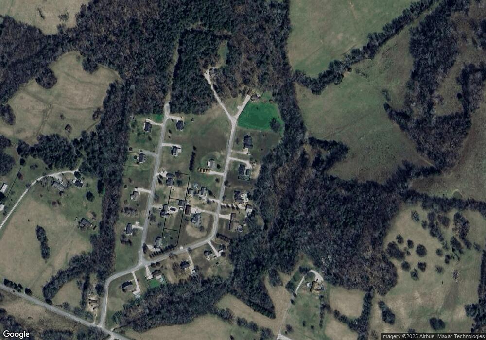
Map
Nearby Homes
- 204 Alex Dr
- 1 Haywood Creek Rd
- 2 Haywood Creek Rd
- 575 Haywood Creek Rd
- 265 Sagewood Dr
- 220 Apache Cir
- 245 Sagewood Dr
- 0 Shady Ln Unit RTC2914418
- 3345 Pigeon Roost Rd
- 194 Al Roman Rd
- 5339 Columbia Hwy
- 216 Desperado Ave
- 3420 Clear Creek Rd
- 381 Milky Way Dr
- 807 Clear Creek Rd
- 257 Milky Way Dr
- 2921 Clear Creek Rd
- 142 Poling Dr
- 153 Poling Dr
- 155 Poling Dr
- 122 Fieldstone Dr
- 114 Fieldstone Dr
- 119 Fieldstone Dr
- 115 Fieldstone Dr
- 112 Fieldstone Dr
- 212 Alex Dr
- 208 Alex Dr
- 111 Fieldstone Dr
- 214 Alex Dr
- 124 Fieldstone Dr
- 110 Fieldstone Dr
- 123 Fieldstone Dr
- 209 Alex Dr
- 202 Alex Dr
- 213 Alex Dr
- 205 Alex Dr
- 108 Fieldstone Dr
- 203 Alex Dr
- 100 Alex Dr
- 106 Fieldstone Dr
Your Personal Tour Guide
Ask me questions while you tour the home.