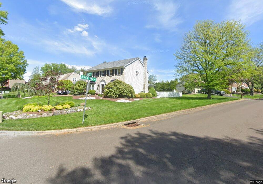
118 Forrest Dr Southampton, PA 18966
Estimated Value: $679,000 - $810,000
3
Beds
3
Baths
2,688
Sq Ft
$276/Sq Ft
Est. Value
About This Home
This home is located at 118 Forrest Dr, Southampton, PA 18966 and is currently estimated at $742,369, approximately $276 per square foot. 118 Forrest Dr is a home located in Bucks County with nearby schools including Hillcrest El School, Holland Middle School, and Council Rock High School - South.
Ownership History
Date
Name
Owned For
Owner Type
Purchase Details
Closed on
Dec 5, 2022
Sold by
Nelson David B and Nelson Alyson
Bought by
Nelson David B and Nelson Beverly Ann
Current Estimated Value
Purchase Details
Closed on
May 15, 1981
Bought by
Taddei Donald R and Taddei Joyce B
Create a Home Valuation Report for This Property
The Home Valuation Report is an in-depth analysis detailing your home's value as well as a comparison with similar homes in the area
Home Values in the Area
Average Home Value in this Area
Purchase History
| Date | Buyer | Sale Price | Title Company |
|---|---|---|---|
| Nelson David B | $100,000 | Neshaminy Abstract | |
| Taddei Donald R | $111,900 | -- |
Source: Public Records
Tax History Compared to Growth
Tax History
| Year | Tax Paid | Tax Assessment Tax Assessment Total Assessment is a certain percentage of the fair market value that is determined by local assessors to be the total taxable value of land and additions on the property. | Land | Improvement |
|---|---|---|---|---|
| 2025 | $9,014 | $46,800 | $7,160 | $39,640 |
| 2024 | $9,014 | $46,800 | $7,160 | $39,640 |
| 2023 | $8,496 | $46,800 | $7,160 | $39,640 |
| 2022 | $8,418 | $46,800 | $7,160 | $39,640 |
| 2021 | $8,151 | $46,800 | $7,160 | $39,640 |
| 2020 | $7,968 | $46,800 | $7,160 | $39,640 |
| 2019 | $7,627 | $46,800 | $7,160 | $39,640 |
| 2018 | $7,491 | $46,800 | $7,160 | $39,640 |
| 2017 | $7,202 | $46,800 | $7,160 | $39,640 |
| 2016 | $7,202 | $46,800 | $7,160 | $39,640 |
| 2015 | -- | $46,800 | $7,160 | $39,640 |
| 2014 | -- | $46,800 | $7,160 | $39,640 |
Source: Public Records
Map
Nearby Homes
- 41 Grant Dr
- 6 Rolling Hills Dr
- 15 Penn Cir
- 100 E Holland Rd
- 27 Rocking Horse Way
- 178 Buckshire Dr
- 24 Standing Tree Cir
- 21019 Bennett Place Unit 7
- 270 Rocksville Rd
- 131 Rocksville Rd
- 29 Langhorne Ave
- 52 Dalton Way
- 302 Independence Dr
- 6 Windy Knoll Dr
- 6 Springwood Place
- 151 Knox Ct
- 327 Hale Dr Unit 801A
- 147 Watergate Dr
- 139 Heather Valley Rd
- 527 Ashton Cir
- 122 Forrest Dr
- 30 Black Pine Rd
- 114 Forrest Dr
- 26 Black Pine Rd
- 27 Black Pine Rd
- 128 Forrest Dr
- 123 Forrest Dr
- 127 Forrest Dr
- 119 Forrest Dr
- 132 Forrest Dr
- 110 Forrest Dr
- 22 Black Pine Rd
- 115 Forrest Dr
- 23 Black Pine Rd
- 271 Woodlake Dr
- 267 Woodlake Dr
- 111 Forrest Dr
- 18 Black Pine Rd
- 106 Forrest Dr
- 136 Forrest Dr