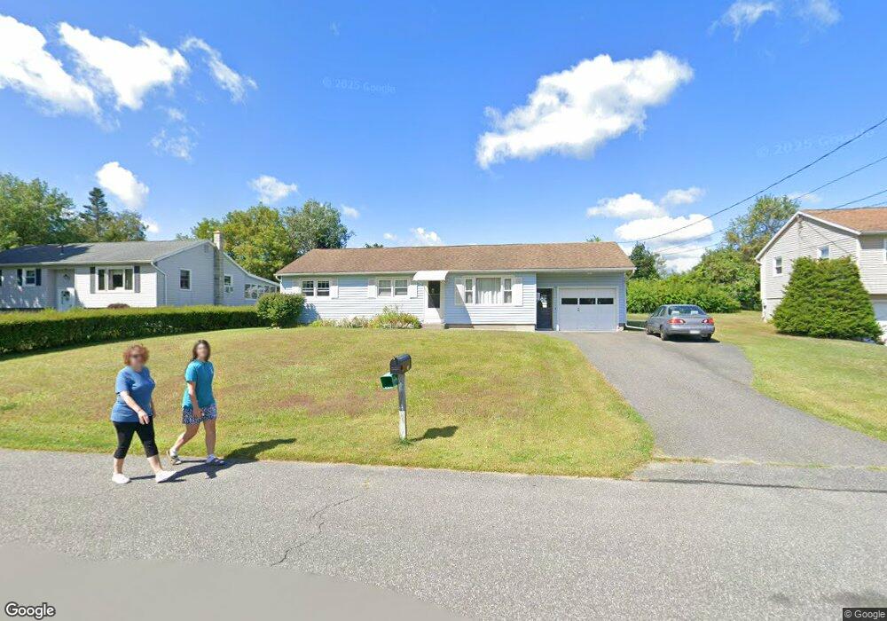
118 Imperial Ave Pittsfield, MA 01201
Estimated Value: $319,555 - $346,000
3
Beds
1
Bath
1,118
Sq Ft
$296/Sq Ft
Est. Value
About This Home
This home is located at 118 Imperial Ave, Pittsfield, MA 01201 and is currently estimated at $331,389, approximately $296 per square foot. 118 Imperial Ave is a home located in Berkshire County with nearby schools including Williams Elementary School, Theodore Herberg Middle School, and Pittsfield High School.
Ownership History
Date
Name
Owned For
Owner Type
Purchase Details
Closed on
May 31, 2000
Sold by
Reddy Adrienne and Riley-Furlong Cheryl A
Bought by
Martin Thomas L and Martin Adriane L
Current Estimated Value
Home Financials for this Owner
Home Financials are based on the most recent Mortgage that was taken out on this home.
Original Mortgage
$42,500
Outstanding Balance
$14,897
Interest Rate
8.14%
Mortgage Type
Purchase Money Mortgage
Estimated Equity
$316,492
Create a Home Valuation Report for This Property
The Home Valuation Report is an in-depth analysis detailing your home's value as well as a comparison with similar homes in the area
Home Values in the Area
Average Home Value in this Area
Purchase History
| Date | Buyer | Sale Price | Title Company |
|---|---|---|---|
| Martin Thomas L | $96,000 | -- | |
| Martin Thomas L | $96,000 | -- |
Source: Public Records
Mortgage History
| Date | Status | Borrower | Loan Amount |
|---|---|---|---|
| Open | Martin Thomas L | $10,000 | |
| Open | Martin Thomas L | $42,500 | |
| Closed | Martin Thomas L | $42,500 |
Source: Public Records
Tax History Compared to Growth
Tax History
| Year | Tax Paid | Tax Assessment Tax Assessment Total Assessment is a certain percentage of the fair market value that is determined by local assessors to be the total taxable value of land and additions on the property. | Land | Improvement |
|---|---|---|---|---|
| 2025 | $4,998 | $278,600 | $90,100 | $188,500 |
| 2024 | $4,779 | $259,000 | $90,100 | $168,900 |
| 2023 | $4,468 | $243,900 | $90,100 | $153,800 |
| 2022 | $3,970 | $213,900 | $80,100 | $133,800 |
| 2021 | $3,781 | $196,400 | $80,100 | $116,300 |
| 2020 | $3,597 | $182,500 | $70,100 | $112,400 |
| 2019 | $3,445 | $177,400 | $70,100 | $107,300 |
| 2018 | $3,398 | $169,800 | $65,100 | $104,700 |
| 2017 | $3,090 | $157,400 | $56,600 | $100,800 |
| 2016 | $2,990 | $159,400 | $56,600 | $102,800 |
| 2015 | $2,879 | $159,400 | $56,600 | $102,800 |
Source: Public Records
Map
Nearby Homes
- 13 Pleasantview Dr
- 1994 East St
- 44 Eleanor Rd
- 387 Dalton Division Rd
- 1 Pondview Dr Unit C3
- 64 Elaine Dr
- 0 Dalton Division Rd
- 215 Pine Grove Dr
- 210 Pine Grove Dr
- 204 Harryel St
- 33 Elaine Ave
- 48 Elaine Ave
- 2 Caratina Ave
- 171 Harryel St
- 50 Grand Ave
- 225 Karen Dr
- 0 Longview Terrace
- 157 Maple Grove Dr
- 989 Williams St
- 932 Williams St
- 112 Imperial Ave
- 124 Imperial Ave
- 85 Winesap Rd
- 130 Imperial Ave
- 106 Imperial Ave
- 77 Winesap Rd
- 93 Winesap Rd
- 117 Imperial Ave
- 111 Imperial Ave
- 123 Imperial Ave
- 71 Winesap Rd
- 100 Imperial Ave
- 136 Imperial Ave
- 95 Winesap Rd
- 129 Imperial Ave
- 107 Imperial Ave
- 69 Winesap Rd
- 101 Imperial Ave
- 99 Winesap Rd
- 94 Imperial Ave