118 Isabella Rd Elverson, PA 19520
West Nantmeal NeighborhoodEstimated Value: $490,000 - $1,276,090
4
Beds
4
Baths
5,371
Sq Ft
$160/Sq Ft
Est. Value
About This Home
This home is located at 118 Isabella Rd, Elverson, PA 19520 and is currently estimated at $862,023, approximately $160 per square foot. 118 Isabella Rd is a home located in Chester County with nearby schools including Twin Valley Elementary Center, Twin Valley Middle School, and Twin Valley High School.
Ownership History
Date
Name
Owned For
Owner Type
Purchase Details
Closed on
Aug 31, 1994
Sold by
Diodata Nadine and Luckey Daniel F
Bought by
Troupe Keith and Troupe Diane
Current Estimated Value
Home Financials for this Owner
Home Financials are based on the most recent Mortgage that was taken out on this home.
Original Mortgage
$108,300
Interest Rate
8.44%
Purchase Details
Closed on
Jan 1, 1993
Bought by
Grant Keith N and Grant Tina A
Create a Home Valuation Report for This Property
The Home Valuation Report is an in-depth analysis detailing your home's value as well as a comparison with similar homes in the area
Home Values in the Area
Average Home Value in this Area
Purchase History
| Date | Buyer | Sale Price | Title Company |
|---|---|---|---|
| Troupe Keith | $114,000 | -- | |
| Grant Keith N | $53,500 | -- |
Source: Public Records
Mortgage History
| Date | Status | Borrower | Loan Amount |
|---|---|---|---|
| Closed | Troupe Keith | $108,300 |
Source: Public Records
Tax History Compared to Growth
Tax History
| Year | Tax Paid | Tax Assessment Tax Assessment Total Assessment is a certain percentage of the fair market value that is determined by local assessors to be the total taxable value of land and additions on the property. | Land | Improvement |
|---|---|---|---|---|
| 2025 | $17,816 | $529,310 | $60,550 | $468,760 |
| 2024 | $17,816 | $529,310 | $60,550 | $468,760 |
| 2023 | $17,403 | $529,310 | $60,550 | $468,760 |
| 2022 | $17,208 | $529,310 | $60,550 | $468,760 |
| 2021 | $16,696 | $529,310 | $60,550 | $468,760 |
| 2020 | $16,610 | $529,310 | $60,550 | $468,760 |
| 2019 | $16,282 | $529,310 | $60,550 | $468,760 |
| 2018 | $16,282 | $529,310 | $60,550 | $468,760 |
| 2017 | $15,894 | $529,310 | $60,550 | $468,760 |
| 2016 | $12,981 | $529,310 | $60,550 | $468,760 |
| 2015 | $12,981 | $529,310 | $60,550 | $468,760 |
| 2014 | $12,981 | $529,310 | $60,550 | $468,760 |
Source: Public Records
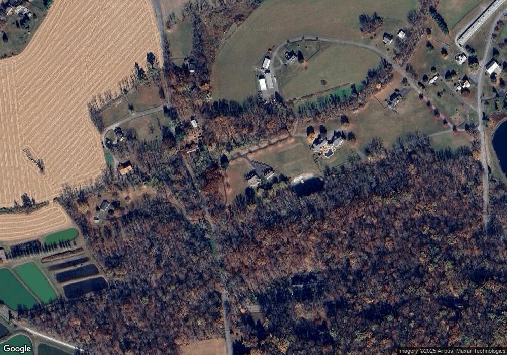
Map
Nearby Homes
- 10 Woods Rd
- 85 Bollinger Rd
- 106 New Rd
- 155 Wyebrook Rd
- 683 N Manor Rd
- 843 N Manor Rd
- 1 Senn Ln
- 281 Merwood Dr
- 222 Merwood Dr
- 214 Merwood Dr
- 219 S Pine St
- 619 Homestead Dr
- 650 Dampman Rd
- 121 S Chestnut St
- 8 Parkside Dr
- 242 Steeplechase Dr
- 297 Killian Rd
- 130 Pumpkin Hill Rd
- 7 Horseshoe Dr
- 319 Ironstone Ln
- 106 Isabella Rd
- 94 Isabella Rd
- 145 Bollinger Rd
- 15 Woods Rd
- 85 Isabella Rd
- 76 Isabella Rd
- 125 Isabella Rd
- 141 Bollinger Rd
- 16 Woods Rd
- 28 Woods Rd
- 140 Isabella Rd
- 0 Isabella Rd Unit 5348569
- 34 Woods Rd
- 135 Bollinger Rd
- 148 Isabella Rd
- 140 Bollinger Rd
- 189 Isabella Rd
- 13 Isabella Rd
- 151 Bollinger Rd
- 137 Stetson Dr