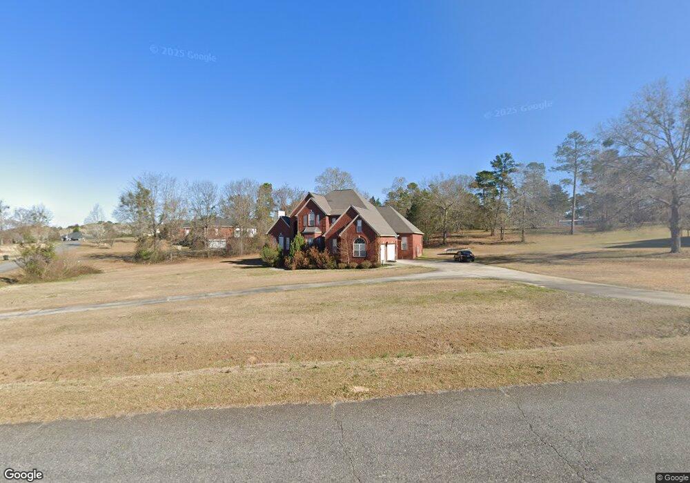
118 John Michael Dr Macon, GA 31211
Estimated Value: $299,000 - $430,759
5
Beds
4
Baths
3,864
Sq Ft
$97/Sq Ft
Est. Value
About This Home
This home is located at 118 John Michael Dr, Macon, GA 31211 and is currently estimated at $373,690, approximately $96 per square foot. 118 John Michael Dr is a home located in Jones County with nearby schools including Mattie Wells Elementary School, Clifton Ridge Middle School, and Jones County High School.
Ownership History
Date
Name
Owned For
Owner Type
Purchase Details
Closed on
Apr 12, 2024
Sold by
Butts Tracey L Wright
Bought by
Butts Earnest and Henderson Myricah
Current Estimated Value
Purchase Details
Closed on
Oct 26, 2004
Sold by
Wright Tracy and Brinson Larry D
Bought by
Wright Tracey L
Purchase Details
Closed on
Jun 17, 2002
Sold by
Dublin Investments Llc
Bought by
Wright Tracy and Brinson Larry D
Create a Home Valuation Report for This Property
The Home Valuation Report is an in-depth analysis detailing your home's value as well as a comparison with similar homes in the area
Purchase History
| Date | Buyer | Sale Price | Title Company |
|---|---|---|---|
| Butts Earnest | -- | -- | |
| Wright Tracey L | -- | -- | |
| Wright Tracy | $18,000 | -- |
Source: Public Records
Tax History
| Year | Tax Paid | Tax Assessment Tax Assessment Total Assessment is a certain percentage of the fair market value that is determined by local assessors to be the total taxable value of land and additions on the property. | Land | Improvement |
|---|---|---|---|---|
| 2025 | $6,444 | $196,459 | $12,480 | $183,979 |
| 2024 | $5,057 | $146,064 | $9,600 | $136,464 |
| 2023 | $4,384 | $125,731 | $9,600 | $116,131 |
| 2022 | $4,384 | $125,731 | $9,600 | $116,131 |
| 2021 | $4,388 | $125,731 | $9,600 | $116,131 |
| 2020 | $4,391 | $125,731 | $9,600 | $116,131 |
| 2019 | $4,391 | $125,731 | $9,600 | $116,131 |
| 2018 | $4,391 | $125,731 | $9,600 | $116,131 |
| 2017 | $4,391 | $125,731 | $9,600 | $116,131 |
| 2016 | $4,391 | $125,731 | $9,600 | $116,131 |
| 2015 | $4,150 | $125,731 | $9,600 | $116,131 |
| 2014 | $3,827 | $125,731 | $9,600 | $116,131 |
Source: Public Records
Map
Nearby Homes
- 227 Dusty Ln
- 225 Olivia Cir
- 3608 Joycliff Rd
- 118 Oakwood Dr
- 3462 Joycliff Rd
- 3614 Kingsview Dr
- 0 Kings Ct N Unit 10666708
- 687 Jasmine Dr
- 1030 Sun Valley Ct Unit C55
- 1030 Sun Valley Ct
- 3446 Kingsview Cir
- 1034 Sun Valley Ct Unit C56
- 1034 Sun Valley Ct
- 1038 Sun Valley Ct Unit C57
- 1038 Sun Valley Ct
- 0 Champion Dr Unit 10666714
- 131 Sun Valley Dr
- 168 Ruby Dr
- 201 Joycliff Cir
- 240 Neptune Ct
- 110 Olivia Cir
- 110 John Michael Dr
- 128 John Michael Dr
- 123 John Michael Dr
- 109 Olivia Cir
- 115 John Michael Dr
- 104 John Michael Dr
- 116 Olivia Cir
- 115 Olivia Cir
- 131 John Michael Dr
- 109 John Michael Dr
- 3564 Joycliff Rd
- 136 John Michael Dr
- 201 Olivia Cir
- 105 John Michael Dr
- 123 Olivia Cir
- 221 Dusty Ln
- 137 John Michael Dr
- 122 Olivia Cir
- 195 Olivia Cir
Your Personal Tour Guide
Ask me questions while you tour the home.