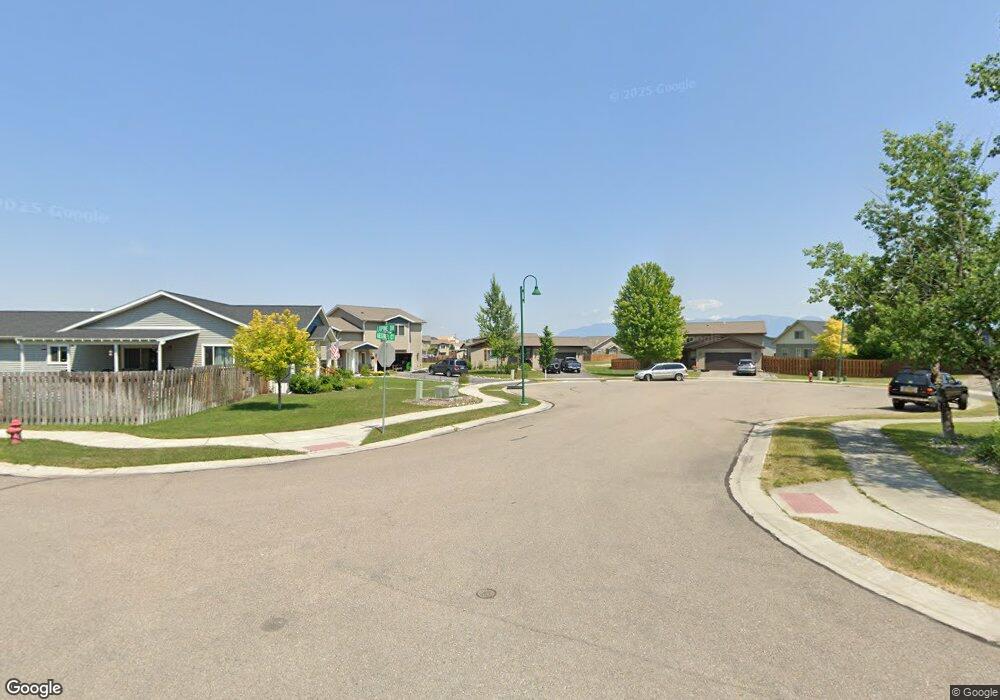
118 Kestrel Ct Kalispell, MT 59901
Estimated Value: $447,000 - $526,000
About This Home
This home is located at 118 Kestrel Ct, Kalispell, MT 59901 and is currently estimated at $469,286, approximately $419 per square foot. 118 Kestrel Ct is a home located in Flathead County with nearby schools including Lillian Peterson School, Kalispell Middle School, and Flathead High School.
Ownership History
We collect this data history from publicly available records. To have your information removed, we recommend requesting removal directly through your county’s website.
Purchase Details
Home Financials for this Owner
Home Financials are based on the most recent Mortgage that was taken out on this home.Purchase Details
Purchase History
We collect this data history from publicly available records. To have your information removed, we recommend requesting removal directly through your county’s website.
| Date | Buyer | Sale Price | Title Company |
|---|---|---|---|
| -- | None Available | ||
| -- | None Available |
Mortgage History
We collect this data history from publicly available records. To have your information removed, we recommend requesting removal directly through your county’s website.
| Date | Status | Borrower | Loan Amount |
|---|---|---|---|
| Open | $146,325 |
Tax History
We collect this data history from publicly available records. To have your information removed, we recommend requesting removal directly through your county’s website.
| Year | Tax Paid | Tax Assessment Tax Assessment Total Assessment is a certain percentage of the fair market value that is determined by local assessors to be the total taxable value of land and additions on the property. | Land | Improvement |
|---|---|---|---|---|
| 2025 | $2,168 | $433,700 | $0 | $0 |
| 2024 | $2,673 | $343,200 | $0 | $0 |
| 2023 | $3,183 | $343,200 | $0 | $0 |
| 2022 | $2,665 | $265,300 | $0 | $0 |
| 2021 | $2,855 | $265,300 | $0 | $0 |
| 2020 | $2,913 | $219,700 | $0 | $0 |
| 2019 | $2,913 | $219,700 | $0 | $0 |
| 2018 | $2,699 | $192,100 | $0 | $0 |
| 2017 | $2,701 | $192,100 | $0 | $0 |
| 2016 | $2,184 | $167,400 | $0 | $0 |
| 2015 | $2,176 | $167,400 | $0 | $0 |
| 2014 | $2,024 | $93,545 | $0 | $0 |
Map
- 130 Lupine Dr
- 963 Foys Lake Rd
- 125 Peaks View Loop
- 133 Peaks View Loop
- 152 Peaks View Loop
- 156 Peaks View Loop
- 160 Peaks View Loop
- 164 Peaks View Loop
- 168 Peaks View Loop
- TBD Tbd
- 48 Primrose Ct E
- 125 Stoneridge Dr
- 158 Stoneridge Dr
- 605 Stoneridge Dr
- 317 Stoneridge Dr
- 1045 8th St W
- 1108 6th St W
- 1010 7th St W
- 1217 5th St W
- 206 Phoenix St
- 112 Kestrel Ct
- 111 Kestrel Ct
- 43 Kestrel Ct
- 42 Kestrel Ct
- 46 Kestrel Ct
- 45 Kestrel Ct
- 44 Kestrel Ct
- 106 Kestrel Ct
- Lot 42 Kestrel Ct
- Lot 45 Kestrel Ct
- Lot 46 Kestrel Ct
- Lot 44 Kestrel Ct
- Lot 43 Kestrel Ct
- 105 Kestrel Ct
- 105 Kestrel Ct
- 112 Sandhill Ct
- 112 Sandhill Ct
- 134 Lupine Dr
- 134 Lupine Dr
- 160 Lupine Dr
Ask me questions while you tour the home.