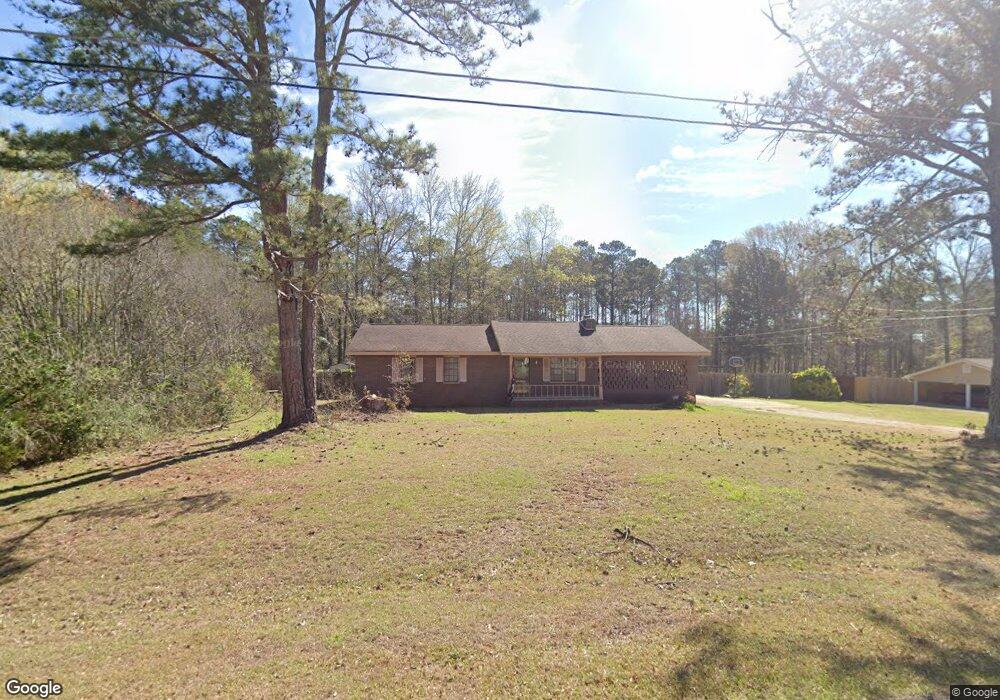
118 N Lake Dr Lagrange, GA 30240
Estimated Value: $211,814 - $244,000
3
Beds
2
Baths
1,476
Sq Ft
$155/Sq Ft
Est. Value
About This Home
This home is located at 118 N Lake Dr, Lagrange, GA 30240 and is currently estimated at $228,954, approximately $155 per square foot. 118 N Lake Dr is a home located in Troup County with nearby schools including Ethel W. Kight Elementary School, Hollis Hand Elementary School, and Franklin Forest Elementary School.
Ownership History
Date
Name
Owned For
Owner Type
Purchase Details
Closed on
Jul 26, 2019
Sold by
Greer John S
Bought by
Phillips Cathy G and Phillips Kevin L
Current Estimated Value
Home Financials for this Owner
Home Financials are based on the most recent Mortgage that was taken out on this home.
Original Mortgage
$111,050
Outstanding Balance
$97,319
Interest Rate
3.73%
Mortgage Type
FHA
Estimated Equity
$131,635
Purchase Details
Closed on
Jun 28, 1996
Sold by
William L Grizzard
Bought by
Greer John S
Purchase Details
Closed on
Jan 1, 1987
Sold by
Wm L Grizzard
Bought by
William L Grizzard
Purchase Details
Closed on
Sep 1, 1984
Sold by
Gayla A Grizzard
Bought by
Wm L Grizzard
Purchase Details
Closed on
Jul 31, 1980
Bought by
Gayla A Grizzard
Purchase Details
Closed on
Mar 31, 1980
Sold by
Mcdowell & Assoc
Purchase Details
Closed on
Dec 20, 1976
Bought by
Mcdowell & Assoc
Create a Home Valuation Report for This Property
The Home Valuation Report is an in-depth analysis detailing your home's value as well as a comparison with similar homes in the area
Home Values in the Area
Average Home Value in this Area
Purchase History
| Date | Buyer | Sale Price | Title Company |
|---|---|---|---|
| Phillips Cathy G | $113,100 | -- | |
| Greer John S | $79,700 | -- | |
| William L Grizzard | -- | -- | |
| Wm L Grizzard | -- | -- | |
| Gayla A Grizzard | $41,800 | -- | |
| -- | -- | -- | |
| Mcdowell & Assoc | -- | -- |
Source: Public Records
Mortgage History
| Date | Status | Borrower | Loan Amount |
|---|---|---|---|
| Open | Phillips Cathy G | $111,050 |
Source: Public Records
Tax History Compared to Growth
Tax History
| Year | Tax Paid | Tax Assessment Tax Assessment Total Assessment is a certain percentage of the fair market value that is determined by local assessors to be the total taxable value of land and additions on the property. | Land | Improvement |
|---|---|---|---|---|
| 2024 | $1,569 | $57,520 | $10,000 | $47,520 |
| 2023 | $1,556 | $57,040 | $10,000 | $47,040 |
| 2022 | $1,514 | $54,240 | $10,000 | $44,240 |
| 2021 | $1,431 | $47,440 | $8,000 | $39,440 |
| 2020 | $1,364 | $47,440 | $8,000 | $39,440 |
| 2019 | $1,160 | $40,440 | $4,000 | $36,440 |
| 2018 | $1,060 | $37,120 | $4,000 | $33,120 |
| 2017 | $1,060 | $37,120 | $4,000 | $33,120 |
| 2016 | $1,063 | $37,214 | $4,000 | $33,214 |
| 2015 | $1,065 | $37,214 | $4,000 | $33,214 |
| 2014 | $1,013 | $35,466 | $4,000 | $31,466 |
| 2013 | -- | $37,007 | $4,000 | $33,007 |
Source: Public Records
Map
Nearby Homes
- 709 Vernon Ferry Rd
- 103 Dogwood Ct
- 0 Deming St Unit 10550189
- 104 Dogwood Point
- 4004 White Oak Ln
- 226 Linda Ln
- LOT 4 Angela Dr
- E Angela Dr
- 135 Planters Ridge Dr
- 200 Cheyenne Dr
- 124 Foxdale Dr
- 190 Hill Rd
- 208 Highland Trail
- 243 Oak Dr
- 102 Foxdale Dr
- 0 Antioch Rd Unit 10656005
- 104 Spring Valley Dr
- 108 Spring Valley Dr
- 146 Whitaker Rd
- 641 Whitaker Rd
- 120 N Lake Dr
- 114 N Lake Dr Unit 34
- 114 N Lake Dr
- 115 N Lake Dr
- 122 N Lake Dr
- 102 Riverside Ct Unit 77 78 79
- 102 Riverside Ct Unit 77-79
- 117 N Lake Dr
- 111 N Lake Dr
- 113 N Lake Dr
- 501 Riverside Dr
- 119 N Lake Dr
- 109 N Lake Dr
- 112 N Lake Dr
- 124 N Lake Dr
- 121 N Lake Dr
- 107 N Lake Dr
- 503 Riverside Dr
- 505 Riverside Dr
- 98 N Lake Dr