Estimated Value: $131,272 - $195,000
4
Beds
2
Baths
1,824
Sq Ft
$85/Sq Ft
Est. Value
About This Home
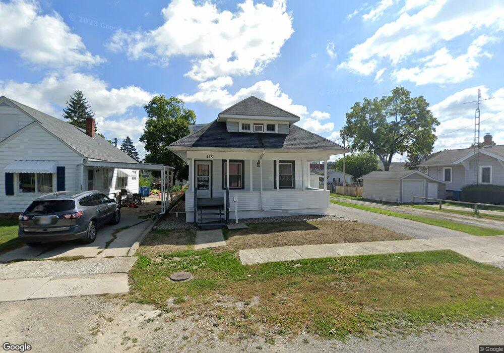
This home is located at 118 N Rolland St, Bryan, OH 43506 and is currently estimated at $155,318, approximately $85 per square foot. 118 N Rolland St is a home located in Williams County with nearby schools including Bryan Elementary PK-5, Washington Elementary School, and Bryan Middle School/High School.
Ownership History
Date
Name
Owned For
Owner Type
Purchase Details
Closed on
Feb 12, 2005
Sold by
Gray Kevin L and Gray Kellie J
Bought by
Grayland Llc
Current Estimated Value
Home Financials for this Owner
Home Financials are based on the most recent Mortgage that was taken out on this home.
Original Mortgage
$84,975
Outstanding Balance
$47,318
Interest Rate
7.67%
Mortgage Type
Adjustable Rate Mortgage/ARM
Estimated Equity
$108,000
Purchase Details
Closed on
May 17, 2004
Bought by
Grayland Llc
Purchase Details
Closed on
Nov 6, 2003
Sold by
Powers David E and Powers Dawn R
Bought by
Secretary Of Veteran S Affairs
Purchase Details
Closed on
Jun 1, 1999
Sold by
Christiaanse Patricia
Bought by
Powers David E and Powers Dawn R
Purchase Details
Closed on
Jan 1, 1990
Bought by
Christiaanse Patricia
Create a Home Valuation Report for This Property
The Home Valuation Report is an in-depth analysis detailing your home's value as well as a comparison with similar homes in the area
Home Values in the Area
Average Home Value in this Area
Purchase History
We collect this data history from publicly available records. To have your information removed, we recommend requesting removal directly through your county’s website.
| Date | Buyer | Sale Price | Title Company |
|---|---|---|---|
| Grayland Llc | -- | None Available | |
| Vanauken Daniel R | $84,975 | None Available | |
| Grayland Llc | $42,000 | -- | |
| Secretary Of Veteran S Affairs | -- | -- | |
| Powers David E | $72,500 | -- | |
| Christiaanse Patricia | -- | -- |
Source: Public Records
Mortgage History
We collect this data history from publicly available records. To have your information removed, we recommend requesting removal directly through your county’s website.
| Date | Status | Borrower | Loan Amount |
|---|---|---|---|
| Open | Vanauken Daniel R | $84,975 | |
| Closed | Grayland Llc | $84,975 |
Source: Public Records
Map
Nearby Homes
- 127 Elm Dr
- 330 W Butler St
- 901 Oakwood Ave
- 228 N Beech St
- 310 N Beech St
- 0 Lynn St Unit 6110702
- 421 Center St
- 320 Newdale Dr
- 422 S Main St
- 410 Patrick Ct
- 310 E Edgerton St
- 415 Patrick Ct
- 418 Connin St
- 13673 County Rd E Unit 10
- 503 S Williams St
- 401 Charles St
- 000 N Main St
- 517 N Allen St
- 821 S Main St
- 911 S Lynn St
- 118 Rolland St
- 122 Rolland St
- 116 Rolland St
- 128 N Rolland St
- 128 Rolland St
- 123 N Rolland St
- 134 Rolland St
- 620 W High St
- 123 Rolland St
- 129 Rolland St
- 609 W Bryan St
- 129 N Rolland St
- 115 Rolland St
- 115 Baker St
- 614 W High St
- 624 W High St
- 117 Baker St
- 133 N Rolland St
- 133 Rolland St
- 0 N Rolland St
Your Personal Tour Guide
Ask me questions while you tour the home.