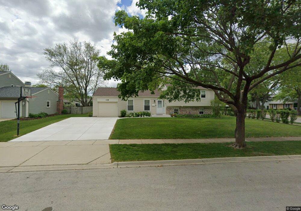
118 Paxton Ln Unit 11 Schaumburg, IL 60194
Hoover Park NeighborhoodEstimated Value: $385,000 - $432,000
3
Beds
1
Bath
1,125
Sq Ft
$362/Sq Ft
Est. Value
About This Home
This home is located at 118 Paxton Ln Unit 11, Schaumburg, IL 60194 and is currently estimated at $407,227, approximately $361 per square foot. 118 Paxton Ln Unit 11 is a home located in Cook County with nearby schools including Hoover Math And Science Academy, Helen Keller Junior High School, and Schaumburg High School.
Ownership History
Date
Name
Owned For
Owner Type
Purchase Details
Closed on
Nov 28, 1994
Sold by
Hwang Jan Jae and Hwang Yuh Ing
Bought by
Grubb Michael E and Grubb Susan M
Current Estimated Value
Home Financials for this Owner
Home Financials are based on the most recent Mortgage that was taken out on this home.
Original Mortgage
$132,300
Interest Rate
9.06%
Create a Home Valuation Report for This Property
The Home Valuation Report is an in-depth analysis detailing your home's value as well as a comparison with similar homes in the area
Home Values in the Area
Average Home Value in this Area
Purchase History
| Date | Buyer | Sale Price | Title Company |
|---|---|---|---|
| Grubb Michael E | $147,000 | -- |
Source: Public Records
Mortgage History
| Date | Status | Borrower | Loan Amount |
|---|---|---|---|
| Closed | Grubb Michael E | $132,300 |
Source: Public Records
Tax History Compared to Growth
Tax History
| Year | Tax Paid | Tax Assessment Tax Assessment Total Assessment is a certain percentage of the fair market value that is determined by local assessors to be the total taxable value of land and additions on the property. | Land | Improvement |
|---|---|---|---|---|
| 2024 | $7,475 | $30,000 | $7,980 | $22,020 |
| 2023 | $7,220 | $30,000 | $7,980 | $22,020 |
| 2022 | $7,220 | $30,000 | $7,980 | $22,020 |
| 2021 | $6,274 | $24,030 | $5,415 | $18,615 |
| 2020 | $5,965 | $24,030 | $5,415 | $18,615 |
| 2019 | $6,318 | $27,000 | $5,415 | $21,585 |
| 2018 | $5,965 | $23,312 | $4,845 | $18,467 |
| 2017 | $5,889 | $23,312 | $4,845 | $18,467 |
| 2016 | $5,750 | $23,312 | $4,845 | $18,467 |
| 2015 | $5,487 | $20,963 | $4,275 | $16,688 |
| 2014 | $5,443 | $20,963 | $4,275 | $16,688 |
| 2013 | $5,286 | $20,963 | $4,275 | $16,688 |
Source: Public Records
Map
Nearby Homes
- 100 Ellington Dr
- 1425 Colwyn Dr
- 104 N Braintree Dr
- 1336 Wakeby Ln Unit 444
- 124 Westover Ln
- 1123 Stoughton Ct Unit 1664
- 1128 Quanset Ct Unit 1764
- 454 Willington Dr
- 1125 Charlene Ln
- 604 N Brookdale Dr
- 640 Downey St
- 231 Webster Ln
- 413 Linsey Ave
- 1939 Weston Ln
- 700 N Hundley St
- 1901 Kingsley Dr
- 135 S Walnut Ln
- 501 Argyll Ln
- 508 N Walnut Ln
- 569 N Walnut Ln
- 114 Paxton Ln
- 121 Cumberland Dr
- 117 Cumberland Dr
- 110 Paxton Ln
- 1518 Penrith Place
- 1522 Penrith Place
- 1511 Penrith Place
- 111 Cumberland Dr
- 1514 Penrith Place
- 1526 Penrith Place
- 115 Paxton Ln
- 106 Paxton Ln
- 111 Paxton Ln
- 107 Cumberland Dr
- 1510 Penrith Place
- 1507 Penrith Place
- 1515 Amherst Dr
- 1511 Amherst Dr
- 122 Cumberland Dr
- 118 Cumberland Dr