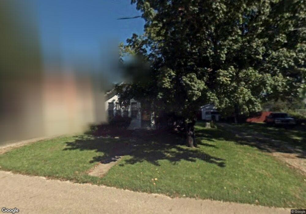
118 Robinwood Ave Battle Creek, MI 49037
Estimated Value: $90,000 - $126,000
2
Beds
1
Bath
756
Sq Ft
$134/Sq Ft
Est. Value
About This Home
This home is located at 118 Robinwood Ave, Battle Creek, MI 49037 and is currently estimated at $101,059, approximately $133 per square foot. 118 Robinwood Ave is a home located in Calhoun County with nearby schools including LaMora Park School, Northwestern Middle School, and Battle Creek Central High School.
Ownership History
Date
Name
Owned For
Owner Type
Purchase Details
Closed on
Nov 2, 2021
Sold by
Gwynne William I and Olmstead Melissa
Bought by
Rogers Chris D and Marton Emila D
Current Estimated Value
Home Financials for this Owner
Home Financials are based on the most recent Mortgage that was taken out on this home.
Original Mortgage
$52,000
Outstanding Balance
$47,662
Interest Rate
3.01%
Mortgage Type
New Conventional
Estimated Equity
$53,397
Purchase Details
Closed on
May 5, 2000
Sold by
Cilibraize Teresa J
Bought by
Gwynne Ii William I
Create a Home Valuation Report for This Property
The Home Valuation Report is an in-depth analysis detailing your home's value as well as a comparison with similar homes in the area
Home Values in the Area
Average Home Value in this Area
Purchase History
| Date | Buyer | Sale Price | Title Company |
|---|---|---|---|
| Rogers Chris D | $65,000 | Ata National Title Group Llc | |
| Gwynne Ii William I | $40,000 | -- |
Source: Public Records
Mortgage History
| Date | Status | Borrower | Loan Amount |
|---|---|---|---|
| Open | Rogers Chris D | $52,000 |
Source: Public Records
Tax History Compared to Growth
Tax History
| Year | Tax Paid | Tax Assessment Tax Assessment Total Assessment is a certain percentage of the fair market value that is determined by local assessors to be the total taxable value of land and additions on the property. | Land | Improvement |
|---|---|---|---|---|
| 2025 | $1,860 | $35,800 | $0 | $0 |
| 2024 | $980 | $34,400 | $0 | $0 |
| 2023 | $1,659 | $32,200 | $0 | $0 |
| 2022 | $889 | $28,400 | $0 | $0 |
| 2021 | $1,235 | $26,500 | $0 | $0 |
| 2020 | $1,369 | $24,100 | $0 | $0 |
| 2019 | $1,283 | $23,200 | $0 | $0 |
| 2018 | $1,244 | $22,900 | $3,600 | $19,300 |
| 2017 | $1,244 | $22,000 | $0 | $0 |
| 2016 | $1,244 | $21,400 | $0 | $0 |
| 2015 | -- | $21,200 | $0 | $0 |
| 2014 | -- | $19,500 | $0 | $0 |
Source: Public Records
Map
Nearby Homes
- 3192 Michigan Ave W
- 139 Duane Ave
- 193 S Finlay Ave
- 3600 Michigan Ave W
- 120 Roxbury Ln
- 128 Quail St
- 117 Robin Ave S
- 144 Maxine Place
- 641 John Bria Rd
- 112 Feld Ave
- 430 Presidential Dr
- 1665 W Kirby Rd
- 420 Presidential Dr
- 115 Suwanee St
- 0 Outlot A Suwanee St
- 53 Lamora Ave
- 84 Lamora Ave
- 153 Colonial Dr
- 33 Mason Ave N
- 244 Woodlawn Ave N
- 120 Robinwood Ave
- 115 Duane St
- 119 Duane St
- 3186 W Michigan Ave Unit 1
- 121 Duane St
- 126 Robinwood Ave
- 125 Duane St
- 125 Robinwood Ave
- 124 Duane St
- 131 Duane St
- 139 Robinwood Ave
- 114 Beulah Ave
- 3198 Michigan Ave W
- 3138 W Michigan Ave
- 3147 Michigan Ave W
- 118 Beulah Ave
- 128 Duane St
- 153 Robinwood Ave
- 122 Beulah Ave
- 134 Robinwood Ave