118 Scotch Pine Rd Weston, MA 02493
Estimated Value: $4,180,000 - $9,537,556
5
Beds
9
Baths
8,649
Sq Ft
$793/Sq Ft
Est. Value
About This Home
This home is located at 118 Scotch Pine Rd, Weston, MA 02493 and is currently estimated at $6,858,778, approximately $793 per square foot. 118 Scotch Pine Rd is a home located in Middlesex County with nearby schools including Country Elementary School, Woodland Elementary School, and Weston Middle School.
Ownership History
Date
Name
Owned For
Owner Type
Purchase Details
Closed on
Mar 3, 2003
Sold by
Scotch Pine T and Mendelsohn Deborah L
Bought by
118 Scotch Pine Road R and White Jonathan A
Current Estimated Value
Purchase Details
Closed on
Aug 14, 1998
Sold by
Est Wilkoff Ida S and Blake Karen
Bought by
Mendelsohn Albert D
Create a Home Valuation Report for This Property
The Home Valuation Report is an in-depth analysis detailing your home's value as well as a comparison with similar homes in the area
Home Values in the Area
Average Home Value in this Area
Purchase History
| Date | Buyer | Sale Price | Title Company |
|---|---|---|---|
| 118 Scotch Pine Road R | $4,650,000 | -- | |
| Mendelsohn Albert D | $690,000 | -- |
Source: Public Records
Mortgage History
| Date | Status | Borrower | Loan Amount |
|---|---|---|---|
| Open | Mendelsohn Albert D | $5,000,000 | |
| Previous Owner | Mendelsohn Albert D | $780,000 | |
| Previous Owner | Mendelsohn Albert D | $292,000 | |
| Previous Owner | Mendelsohn Albert D | $593,000 |
Source: Public Records
Tax History Compared to Growth
Tax History
| Year | Tax Paid | Tax Assessment Tax Assessment Total Assessment is a certain percentage of the fair market value that is determined by local assessors to be the total taxable value of land and additions on the property. | Land | Improvement |
|---|---|---|---|---|
| 2025 | $110,922 | $9,993,000 | $2,963,300 | $7,029,700 |
| 2024 | $108,553 | $9,762,000 | $2,963,300 | $6,798,700 |
| 2023 | $108,228 | $9,140,900 | $2,963,300 | $6,177,600 |
| 2022 | $103,770 | $8,100,700 | $2,733,100 | $5,367,600 |
| 2021 | $100,752 | $7,762,100 | $2,646,700 | $5,115,400 |
| 2020 | $6,129 | $7,882,600 | $2,646,700 | $5,235,900 |
| 2019 | $2 | $7,922,200 | $2,646,700 | $5,275,500 |
| 2018 | $5,714 | $7,982,200 | $2,646,700 | $5,335,500 |
| 2017 | $5,246 | $8,042,100 | $2,646,700 | $5,395,400 |
| 2016 | $98,523 | $8,102,200 | $2,646,700 | $5,455,500 |
| 2015 | $97,320 | $7,925,100 | $2,565,700 | $5,359,400 |
Source: Public Records
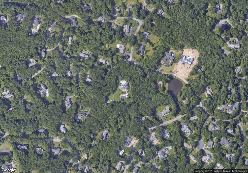
Map
Nearby Homes
- 100 Hickory Rd
- 112 Scotch Pine Rd
- 105 Hickory Rd
- 4 Briar Ln
- 76 Scotch Pine Rd
- 91 Shady Hill Rd
- 36 Falmouth Rd
- 92 Shady Hill Rd
- 14 Briar Ln
- 44 Falmouth Rd
- 115 Hickory Rd
- 144 Rockport Rd
- 87 Shady Hill Rd
- 30 Falmouth Rd
- 82 Shady Hill Rd
- 3 Briar Ln
- 11 Briar Ln
- 105 Woodchester Dr
- 60 Scotch Pine Rd
- 75 Scotch Pine Rd