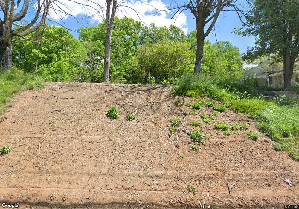
118 Smith St Newport, TN 37821
Estimated Value: $120,259 - $149,000
--
Bed
1
Bath
942
Sq Ft
$140/Sq Ft
Est. Value
About This Home
This home is located at 118 Smith St, Newport, TN 37821 and is currently estimated at $132,315, approximately $140 per square foot. 118 Smith St is a home located in Cocke County with nearby schools including Newport Grammar School, Grace Christian School, and Calvary Baptist Tabernacle School.
Ownership History
Date
Name
Owned For
Owner Type
Purchase Details
Closed on
Jul 26, 2007
Sold by
Ball Shirley A
Bought by
Lovell John M
Current Estimated Value
Purchase Details
Closed on
Apr 10, 2006
Sold by
Ball Shirley Anne
Bought by
Ball Shirley A
Purchase Details
Closed on
Jul 27, 2004
Sold by
Butler Karen D Hance
Bought by
Doane Raymond D
Purchase Details
Closed on
Jan 26, 1996
Sold by
Hance Karen D
Bought by
Hance Karen
Purchase Details
Closed on
Jul 7, 1989
Bought by
Seay Janice
Create a Home Valuation Report for This Property
The Home Valuation Report is an in-depth analysis detailing your home's value as well as a comparison with similar homes in the area
Home Values in the Area
Average Home Value in this Area
Purchase History
| Date | Buyer | Sale Price | Title Company |
|---|---|---|---|
| Lovell John M | $49,000 | -- | |
| Ball Shirley A | -- | -- | |
| Doane Raymond D | $40,000 | -- | |
| Hance Karen | $30,000 | -- | |
| Seay Janice | $14,000 | -- |
Source: Public Records
Tax History Compared to Growth
Tax History
| Year | Tax Paid | Tax Assessment Tax Assessment Total Assessment is a certain percentage of the fair market value that is determined by local assessors to be the total taxable value of land and additions on the property. | Land | Improvement |
|---|---|---|---|---|
| 2024 | $711 | $14,300 | $3,050 | $11,250 |
| 2023 | $711 | $14,300 | $3,050 | $11,250 |
| 2022 | $712 | $14,300 | $3,050 | $11,250 |
| 2021 | $712 | $14,300 | $3,050 | $11,250 |
| 2020 | $712 | $14,300 | $3,050 | $11,250 |
| 2019 | $678 | $12,400 | $3,050 | $9,350 |
| 2018 | $678 | $12,400 | $3,050 | $9,350 |
| 2017 | $718 | $12,400 | $3,050 | $9,350 |
| 2016 | $679 | $12,400 | $3,050 | $9,350 |
| 2015 | $558 | $12,400 | $3,050 | $9,350 |
| 2014 | $558 | $12,400 | $3,050 | $9,350 |
| 2013 | $558 | $13,450 | $2,925 | $10,525 |
Source: Public Records
Map
Nearby Homes
- 401 North St
- 240 Clifton Heights Rd
- 294 Clifton Heights Rd
- 499 Long Ave Unit LOT 16
- 0 Long Ave
- 380 Clifton Heights Rd
- 300 Harvest St
- 278 Harvest St
- 613 North St
- 640 N Cecil St
- 141 Hiola St
- 0 Peaceful Ln
- 208 Mims Ave
- 491 Justus St
- 000 Cindy jo Rd
- 241 & 245 White Oak Ave
- 580 Jessica Way
- 582 Cindy jo Rd
- 228 Washington Ave
- 573 Banjo Way
- 120 Smith St
- 410 North St
- 424 North St
- 132 Miller Ridge Rd
- 144 Smith St
- 140 Miller Ridge Rd
- 133 Smith St
- 4238 Miller Ridge Rd
- 139 Smith St
- 0 421 and 429 Duncan St Unit 1187056
- 0 421 & 429 Duncan St Unit 1187055
- 429 Duncan St
- 126 Mcnabb St Unit parcel fronts North
- 130 Mcnabb St
- 439 Duncan St
- 421 Duncan St
- 421 Duncan St
- 415 Duncan St
- 104 Majestic Way
- 136 Robinson St
