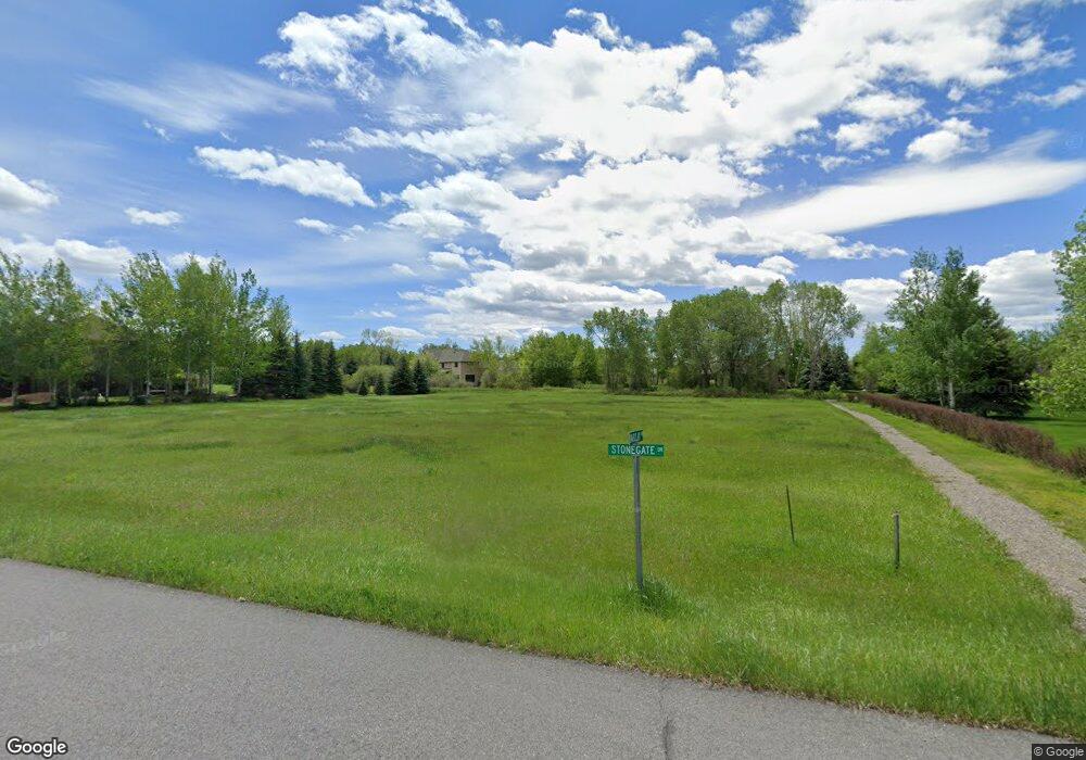
118 Stonegate Dr Bozeman, MT 59715
Estimated Value: $536,000 - $641,000
Studio
--
Bath
--
Sq Ft
50,094
Sq Ft Lot
About This Home
This home is located at 118 Stonegate Dr, Bozeman, MT 59715 and is currently estimated at $588,500. 118 Stonegate Dr is a home located in Gallatin County with nearby schools including Hawthorne Elementary School, Chief Joseph Middle School, and Gallatin High School.
Ownership History
Date
Name
Owned For
Owner Type
Purchase Details
Closed on
May 24, 2022
Sold by
Vanamburg Neil W
Bought by
Zowada John E and Zowada Trisha M
Current Estimated Value
Home Financials for this Owner
Home Financials are based on the most recent Mortgage that was taken out on this home.
Original Mortgage
$319,853
Outstanding Balance
$265,880
Interest Rate
4.43%
Mortgage Type
New Conventional
Estimated Equity
$322,620
Purchase Details
Closed on
Aug 25, 2020
Sold by
Tolliver Kurtis C
Bought by
Vanamburg Neil W and Vanamburg Valerie A
Home Financials for this Owner
Home Financials are based on the most recent Mortgage that was taken out on this home.
Original Mortgage
$206,250
Interest Rate
2.9%
Mortgage Type
Future Advance Clause Open End Mortgage
Purchase Details
Closed on
May 29, 2012
Sold by
Mailey Dale and Mailey Jodi
Bought by
Tolliver Kurtis C
Create a Home Valuation Report for This Property
The Home Valuation Report is an in-depth analysis detailing your home's value as well as a comparison with similar homes in the area
Purchase History
| Date | Buyer | Sale Price | Title Company |
|---|---|---|---|
| Zowada John E | -- | Montana Title | |
| Vanamburg Neil W | -- | First American Title Company | |
| Tolliver Kurtis C | -- | Montana Title & Escrow |
Source: Public Records
Mortgage History
| Date | Status | Borrower | Loan Amount |
|---|---|---|---|
| Open | Zowada John E | $319,853 | |
| Previous Owner | Vanamburg Neil W | $206,250 |
Source: Public Records
Tax History
| Year | Tax Paid | Tax Assessment Tax Assessment Total Assessment is a certain percentage of the fair market value that is determined by local assessors to be the total taxable value of land and additions on the property. | Land | Improvement |
|---|---|---|---|---|
| 2025 | $2,300 | $631,919 | $0 | $0 |
| 2024 | $1,846 | $337,864 | $0 | $0 |
| 2023 | $1,776 | $337,864 | $0 | $0 |
| 2022 | $1,616 | $242,512 | $0 | $0 |
| 2021 | $1,632 | $242,512 | $0 | $0 |
| 2020 | $1,470 | $196,857 | $0 | $0 |
| 2019 | $1,447 | $196,857 | $0 | $0 |
| 2018 | $1,416 | $174,924 | $0 | $0 |
| 2017 | $1,295 | $174,924 | $0 | $0 |
| 2016 | $1,026 | $130,545 | $0 | $0 |
| 2015 | $1,023 | $130,545 | $0 | $0 |
| 2014 | $1,266 | $94,862 | $0 | $0 |
Source: Public Records
Map
Nearby Homes
- 25 Riverside Dr
- NHN Springhill Rd
- 685 Naya Nuki Dr
- 2915 Branding Iron Rd
- 510 Cold Smoke
- 65 Naya-Nuki Dr
- 94 Snowcat Dr
- Lot 28 Cold Smoke Dr
- 3646 N 27th Ave
- 7611 Sypes Canyon Rd
- 27737 Frontage Rd
- 263 Nelson Rd
- 3380 Prince Ln
- TBD Prince Ln
- TBD Royal Wolf Way
- 291 Evening Star Ln
- 3481 Royal Wolf Way Unit B
- 3481 Royal Wolf Way Unit A
- 3341 N 27th Ave Unit 26
- 3555 Royal Wolf Way Unit Lot 18
- 971 Stonegate Dr
- 955 Stonegate Dr
- 987 Stonegate Dr
- 765 Stonegate Dr
- 727 Stonegate Dr
- 22 Barclay Dr
- 1099 Stonegate Dr
- 1020 Stonegate Dr
- 930 Stonegate Dr
- 705 Stonegate Dr
- 796 Stonegate Dr
- 1119 Stonegate Dr
- 896 Stonegate Dr
- Lot 6 Manley Meadows - Churn Creek Dr
- 1060 Stonegate Dr
- 76 Barclay Dr
- 30 Churn Creek Dr
- 826 Stonegate Dr
- 669 Stonegate Dr
- 848 Stonegate Dr
Your Personal Tour Guide
Ask me questions while you tour the home.