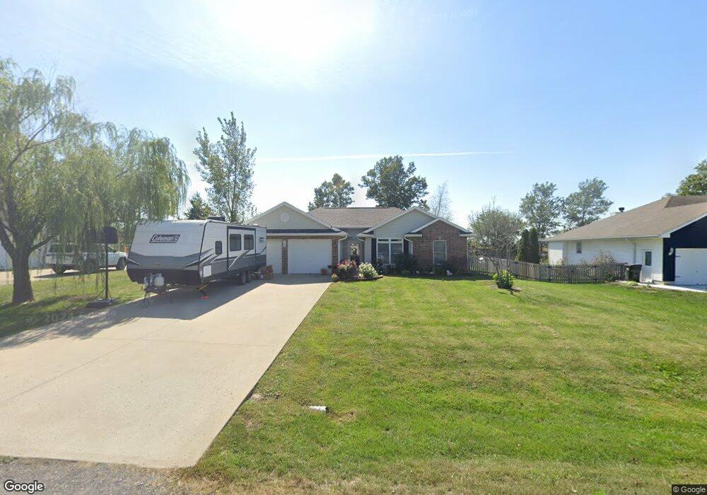
118 SW 95th Rd Warrensburg, MO 64093
Estimated Value: $265,429 - $345,000
--
Bed
--
Bath
1,750
Sq Ft
$178/Sq Ft
Est. Value
About This Home
This home is located at 118 SW 95th Rd, Warrensburg, MO 64093 and is currently estimated at $311,607, approximately $178 per square foot. 118 SW 95th Rd is a home located in Johnson County with nearby schools including Maple Grove Elementary School, Martin Warren Elementary School, and Warrensburg Middle School.
Ownership History
Date
Name
Owned For
Owner Type
Purchase Details
Closed on
Sep 28, 2005
Sold by
Bowland Craig and Bowland Karen
Bought by
Huggans Jamie L and Huggans Andrea M
Current Estimated Value
Home Financials for this Owner
Home Financials are based on the most recent Mortgage that was taken out on this home.
Original Mortgage
$100,000
Outstanding Balance
$53,525
Interest Rate
5.76%
Mortgage Type
New Conventional
Estimated Equity
$258,082
Purchase Details
Closed on
Mar 21, 2005
Sold by
Thomas A King Trust
Bought by
Bowland Craig and Bowland Karen
Home Financials for this Owner
Home Financials are based on the most recent Mortgage that was taken out on this home.
Original Mortgage
$115,600
Interest Rate
5.71%
Mortgage Type
Future Advance Clause Open End Mortgage
Create a Home Valuation Report for This Property
The Home Valuation Report is an in-depth analysis detailing your home's value as well as a comparison with similar homes in the area
Home Values in the Area
Average Home Value in this Area
Purchase History
| Date | Buyer | Sale Price | Title Company |
|---|---|---|---|
| Huggans Jamie L | -- | Western Missouri Title Compa | |
| Bowland Craig | -- | Johnson County Title Co |
Source: Public Records
Mortgage History
| Date | Status | Borrower | Loan Amount |
|---|---|---|---|
| Open | Huggans Jamie L | $100,000 | |
| Previous Owner | Bowland Craig | $115,600 |
Source: Public Records
Tax History Compared to Growth
Tax History
| Year | Tax Paid | Tax Assessment Tax Assessment Total Assessment is a certain percentage of the fair market value that is determined by local assessors to be the total taxable value of land and additions on the property. | Land | Improvement |
|---|---|---|---|---|
| 2024 | $1,842 | $25,289 | $0 | $0 |
| 2023 | $1,842 | $25,289 | $0 | $0 |
| 2022 | $1,778 | $24,305 | $0 | $0 |
| 2021 | $1,772 | $24,305 | $0 | $0 |
| 2020 | $1,722 | $23,322 | $0 | $0 |
| 2019 | $1,720 | $23,322 | $0 | $0 |
| 2017 | $1,652 | $23,322 | $0 | $0 |
| 2016 | $1,647 | $23,322 | $0 | $0 |
| 2015 | $1,696 | $23,322 | $0 | $0 |
| 2014 | -- | $23,322 | $0 | $0 |
Source: Public Records
Map
Nearby Homes
- 103 SW 95th Rd
- 80 Council Trail
- 90 Grandview Dr
- 22 Locust Ln
- 704 Mahogany Ct
- 706 Mahogany Ct
- 12 Woodland Trail
- 629 Oakmont Dr
- 601 Darrow St
- 606 Fountain Hills Dr
- 602 Park Place
- 101 Hidden Pines Ln
- 700 Deerfield Ct
- 521 W Clark St
- 315 Goodrich Dr
- 109 Deerfield Dr
- 303 Johnson Dr
- 318 S Main St
- 300 Jones Ave
- 208 Westgate Ct