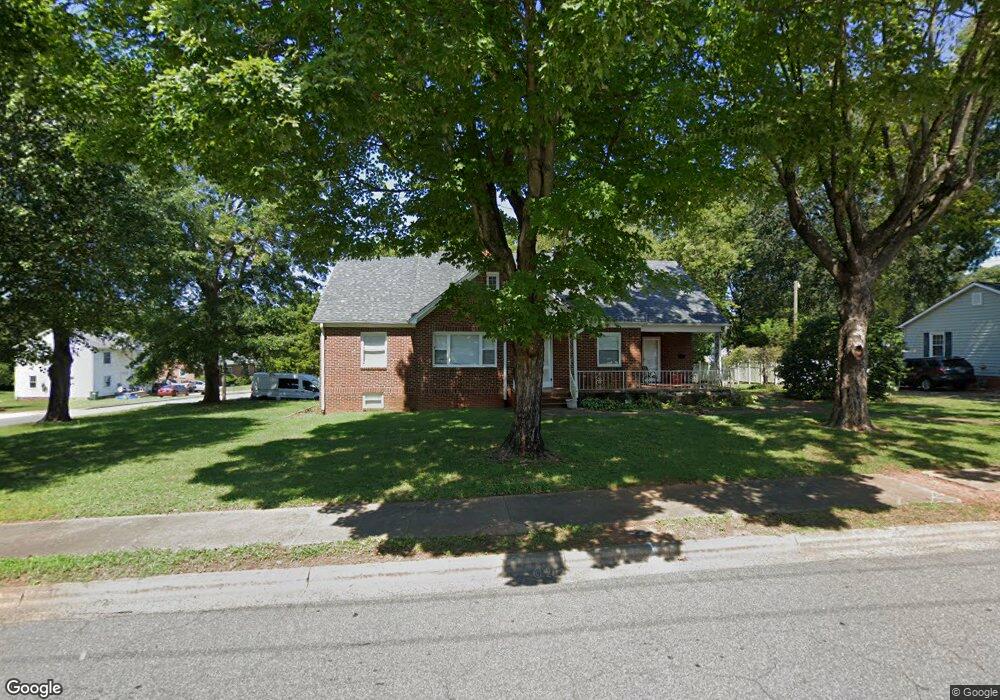
118 W 21st St Newton, NC 28658
Estimated Value: $303,286 - $355,000
3
Beds
2
Baths
2,369
Sq Ft
$139/Sq Ft
Est. Value
About This Home
This home is located at 118 W 21st St, Newton, NC 28658 and is currently estimated at $329,322, approximately $139 per square foot. 118 W 21st St is a home located in Catawba County with nearby schools including North Newton Elementary School, Newton-Conover Middle School, and Newton-Conover High School.
Ownership History
Date
Name
Owned For
Owner Type
Purchase Details
Closed on
Mar 11, 2013
Sold by
Wells Fargo Bank Na
Bought by
Griffin Frances and Griffin Michael
Current Estimated Value
Purchase Details
Closed on
Oct 31, 2011
Sold by
Phillips Andy and Phillips Ginger
Bought by
Wells Fargo Bank N A
Purchase Details
Closed on
Dec 23, 2003
Purchase Details
Closed on
Jan 1, 1992
Create a Home Valuation Report for This Property
The Home Valuation Report is an in-depth analysis detailing your home's value as well as a comparison with similar homes in the area
Home Values in the Area
Average Home Value in this Area
Purchase History
| Date | Buyer | Sale Price | Title Company |
|---|---|---|---|
| Griffin Frances | $47,000 | None Available | |
| Wells Fargo Bank N A | $97,782 | None Available | |
| -- | $135,000 | -- | |
| -- | $1,000 | -- |
Source: Public Records
Tax History Compared to Growth
Tax History
| Year | Tax Paid | Tax Assessment Tax Assessment Total Assessment is a certain percentage of the fair market value that is determined by local assessors to be the total taxable value of land and additions on the property. | Land | Improvement |
|---|---|---|---|---|
| 2025 | $2,641 | $311,200 | $13,700 | $297,500 |
| 2024 | $2,641 | $311,200 | $13,700 | $297,500 |
| 2023 | $2,641 | $311,200 | $13,700 | $297,500 |
| 2022 | $1,888 | $169,300 | $11,100 | $158,200 |
| 2021 | $1,888 | $169,300 | $11,100 | $158,200 |
| 2020 | $1,888 | $169,300 | $11,100 | $158,200 |
| 2019 | $1,888 | $169,300 | $0 | $0 |
| 2018 | $1,526 | $136,900 | $11,100 | $125,800 |
| 2017 | $0 | $0 | $0 | $0 |
| 2016 | $1,526 | $0 | $0 | $0 |
| 2015 | $1,554 | $136,940 | $11,100 | $125,840 |
| 2014 | $1,554 | $153,900 | $13,500 | $140,400 |
Source: Public Records
Map
Nearby Homes
- 112 W 23rd St
- 210 W 15th St
- 2655 N Ashe Ave
- 2661 N Ashe Ave
- 00 E 13th St Unit 3
- 00 E 13th St Unit 2
- The Braselton II Plan at Rowe Crossing
- The Harrington Plan at Rowe Crossing
- The Coleman Plan at Rowe Crossing
- The Piedmont Plan at Rowe Crossing
- The Reynolds Plan at Rowe Crossing
- The Caldwell Plan at Rowe Crossing
- The Benson II Plan at Rowe Crossing
- 1208 N Davis Ave
- 2901 N Shipp Ave
- 621 W 13th St
- 204 W 10th St
- 1128 McRee Heights Cir
- 902 N Ashe Ave
- 608 E 11th St
- 108 W 21st St
- 2107 N Stewart Ave
- 202 W 21st St
- 119 W 21st St
- 123 W 21st St
- 2111 N Stewart Ave
- 102 W 21st St
- 109 W 21st St
- 2104 N Stewart Ave
- 2104 N Stewart Ave Unit A
- 2118 N Shipp Ave
- 203 W 21st St
- 212 W 21st St
- 103 W 21st St
- 2122 N Shipp Ave
- 2214 N Shipp Ave Unit 1
- 2214 N Shipp Ave
- 2030 N Shipp Ave
- 26 W 21st St
- 2128 N Shipp Ave