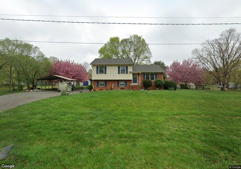
118 W Robin Dr Advance, NC 27006
Estimated Value: $261,241 - $351,000
3
Beds
2
Baths
1,527
Sq Ft
$201/Sq Ft
Est. Value
About This Home
This home is located at 118 W Robin Dr, Advance, NC 27006 and is currently estimated at $307,560, approximately $201 per square foot. 118 W Robin Dr is a home located in Davie County with nearby schools including Pinebrook Elementary School, North Davie Middle School, and Davie County High School.
Ownership History
Date
Name
Owned For
Owner Type
Purchase Details
Closed on
Mar 15, 2011
Sold by
Neggers Christian William and Neggers Sarah Weis
Bought by
Rothrock Jonathan Paul
Current Estimated Value
Home Financials for this Owner
Home Financials are based on the most recent Mortgage that was taken out on this home.
Original Mortgage
$83,750
Outstanding Balance
$57,976
Interest Rate
4.95%
Mortgage Type
Purchase Money Mortgage
Estimated Equity
$249,584
Purchase Details
Closed on
Nov 29, 2005
Sold by
Morris Richard K and Morris Dorothy S
Bought by
Neggers Christian William and Neggers Sarah Weis
Home Financials for this Owner
Home Financials are based on the most recent Mortgage that was taken out on this home.
Original Mortgage
$123,500
Interest Rate
5.25%
Mortgage Type
New Conventional
Purchase Details
Closed on
Aug 1, 1988
Create a Home Valuation Report for This Property
The Home Valuation Report is an in-depth analysis detailing your home's value as well as a comparison with similar homes in the area
Purchase History
| Date | Buyer | Sale Price | Title Company |
|---|---|---|---|
| Rothrock Jonathan Paul | $122,000 | -- | |
| Neggers Christian William | $122,500 | -- | |
| -- | $78,000 | -- |
Source: Public Records
Mortgage History
| Date | Status | Borrower | Loan Amount |
|---|---|---|---|
| Open | Rothrock Jonathan Paul | $83,750 | |
| Previous Owner | Neggers Christian William | $123,500 |
Source: Public Records
Tax History
| Year | Tax Paid | Tax Assessment Tax Assessment Total Assessment is a certain percentage of the fair market value that is determined by local assessors to be the total taxable value of land and additions on the property. | Land | Improvement |
|---|---|---|---|---|
| 2025 | $1,323 | $190,210 | $50,000 | $140,210 |
| 2024 | $1,210 | $154,850 | $45,000 | $109,850 |
| 2023 | $1,211 | $154,850 | $45,000 | $109,850 |
| 2022 | $1,197 | $154,850 | $45,000 | $109,850 |
| 2021 | $1,197 | $154,850 | $45,000 | $109,850 |
| 2020 | $891 | $114,550 | $30,000 | $84,550 |
| 2019 | $891 | $114,550 | $30,000 | $84,550 |
| 2018 | $891 | $114,550 | $30,000 | $84,550 |
| 2017 | $880 | $114,550 | $0 | $0 |
| 2016 | $914 | $119,070 | $0 | $0 |
| 2015 | $914 | $119,070 | $0 | $0 |
| 2014 | $786 | $119,070 | $0 | $0 |
| 2013 | -- | $119,070 | $0 | $0 |
Source: Public Records
Map
Nearby Homes
- 182 Woodburn Place
- 304 Morning Star Dr
- 300 Morning Star Dr
- 292 Morning Star Dr
- 271 Morning Star Dr
- 265 Morning Star Dr
- 288 Morning Star Dr
- 116 Lovefeast Dr
- 117 Lovefeast Dr
- 114 Lovefeast Dr
- 112 Lovefeast Dr
- 113 Lovefeast Dr
- 117 Candle Light Ct
- 278 Morning Star Dr
- 276 Morning Star Dr
- 133 Starhaven Ct
- 270 Morning Star Dr
- 244 Morning Star Dr
- 115 Moravian Ct
- 195 S Claybon Dr
- 154 W Robin Dr
- 139 W Robin Dr
- 144 W Robin Dr
- 106 W Robin Dr
- 126 W Robin Dr
- 01 Woodlee Dr
- 0 Woodlee Drive & Kerr Ln
- 153 W Robin Dr
- 119 W Renee Dr
- 159 Woodlee Dr
- 129 Renee Dr
- 117 W Robin Dr
- 138 W Robin Dr
- 107 W Robin Dr
- 125 W Robin Dr
- 107 E Robin Dr
- 137 W Renee Dr
- 106 Renee Dr
- 108 Robin Dr
- 113 E Robin Dr
Your Personal Tour Guide
Ask me questions while you tour the home.