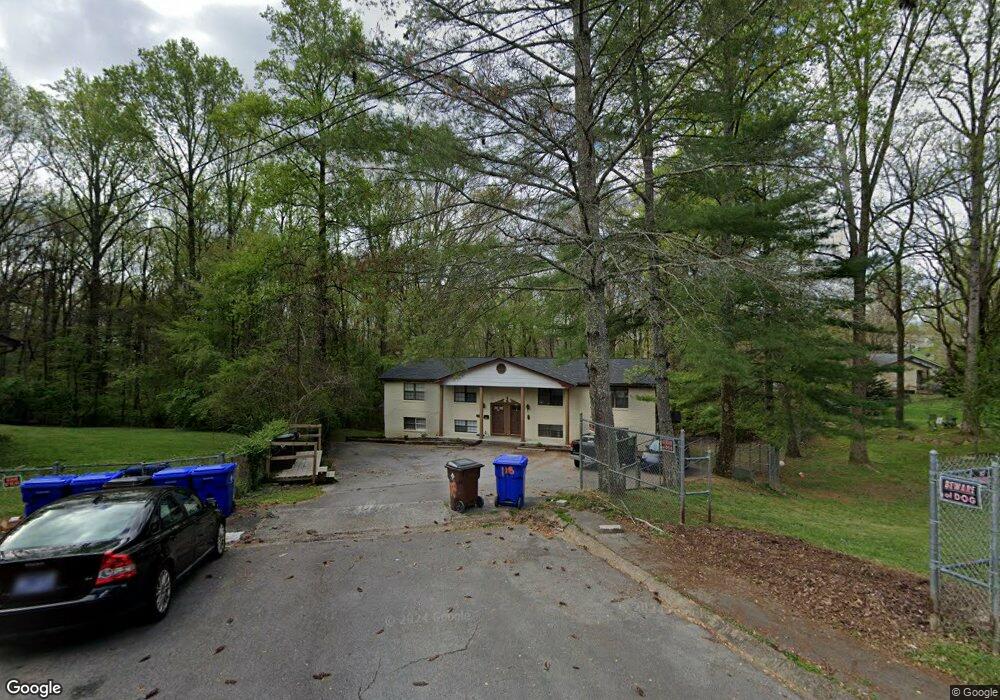
118 Walsh Ln Oak Ridge, TN 37830
Estimated Value: $301,878 - $409,000
2
Beds
1
Bath
--
Sq Ft
0.45
Acres
About This Home
This home is located at 118 Walsh Ln, Oak Ridge, TN 37830 and is currently estimated at $366,959. 118 Walsh Ln is a home located in Anderson County with nearby schools including Willow Brook Elementary, Robertsville Middle School, and Oak Ridge High School.
Ownership History
Date
Name
Owned For
Owner Type
Purchase Details
Closed on
Jun 30, 2021
Sold by
Vaughan Bradford and Vaughan Mary Elaine
Bought by
C & C Investments Llc
Current Estimated Value
Purchase Details
Closed on
May 28, 2003
Sold by
Albright Kendra S
Bought by
Vaughan Bradford and Vaughan Mary E
Home Financials for this Owner
Home Financials are based on the most recent Mortgage that was taken out on this home.
Original Mortgage
$124,950
Interest Rate
5.79%
Purchase Details
Closed on
May 23, 2003
Bought by
Vaughn Bradford and Vaughn Wife Mary E
Home Financials for this Owner
Home Financials are based on the most recent Mortgage that was taken out on this home.
Original Mortgage
$124,950
Interest Rate
5.79%
Purchase Details
Closed on
Nov 28, 2001
Sold by
Queener Steve R
Bought by
Albright Kendra S
Purchase Details
Closed on
Jan 1, 1985
Bought by
Jones Jerry R %Nbd Mort Co
Create a Home Valuation Report for This Property
The Home Valuation Report is an in-depth analysis detailing your home's value as well as a comparison with similar homes in the area
Home Values in the Area
Average Home Value in this Area
Purchase History
| Date | Buyer | Sale Price | Title Company |
|---|---|---|---|
| C & C Investments Llc | $150,000 | Admiral Title Llc | |
| Vaughan Bradford | $158,100 | -- | |
| Vaughn Bradford | $158,000 | -- | |
| Albright Kendra S | $131,500 | -- | |
| Jones Jerry R %Nbd Mort Co | $125,000 | -- |
Source: Public Records
Mortgage History
| Date | Status | Borrower | Loan Amount |
|---|---|---|---|
| Previous Owner | Jones Jerry R %Nbd Mort Co | $124,950 | |
| Previous Owner | Jones Jerry R %Nbd Mort Co | $124,950 |
Source: Public Records
Tax History Compared to Growth
Tax History
| Year | Tax Paid | Tax Assessment Tax Assessment Total Assessment is a certain percentage of the fair market value that is determined by local assessors to be the total taxable value of land and additions on the property. | Land | Improvement |
|---|---|---|---|---|
| 2024 | $1,790 | $72,880 | $9,400 | $63,480 |
| 2023 | $1,790 | $72,880 | $0 | $0 |
| 2022 | $3,476 | $72,880 | $9,400 | $63,480 |
| 2021 | $3,476 | $72,880 | $9,400 | $63,480 |
| 2020 | $3,011 | $72,880 | $9,400 | $63,480 |
| 2019 | $3,081 | $58,640 | $8,360 | $50,280 |
| 2018 | $3,010 | $58,640 | $8,360 | $50,280 |
| 2017 | $2,999 | $58,640 | $8,360 | $50,280 |
| 2016 | $2,999 | $58,640 | $8,360 | $50,280 |
| 2015 | -- | $58,640 | $0 | $0 |
| 2014 | -- | $58,640 | $0 | $0 |
| 2013 | -- | $60,640 | $0 | $0 |
Source: Public Records
Map
Nearby Homes
- 204 Waltham Place
- 558 W Outer Dr
- 296 N Illinois Ave
- 167 Warrior Cir
- 100 N Walker Ln
- 128 E Wadsworth Cir
- 617 W Outer Dr
- 124 E Wadsworth Cir
- 178 Robertsville Rd
- 100 Howard Ln
- 100102 Howard Ln
- 116 Hoyt Ln
- 107 Jay Ln
- 113 Johnson Rd
- 178180 Hillside Rd
- 178 & 180 Hillside Rd
- 290 Jefferson Ave
- 125 Wade Ln
- 380 W Outer Dr
- 133 Lasalle Rd