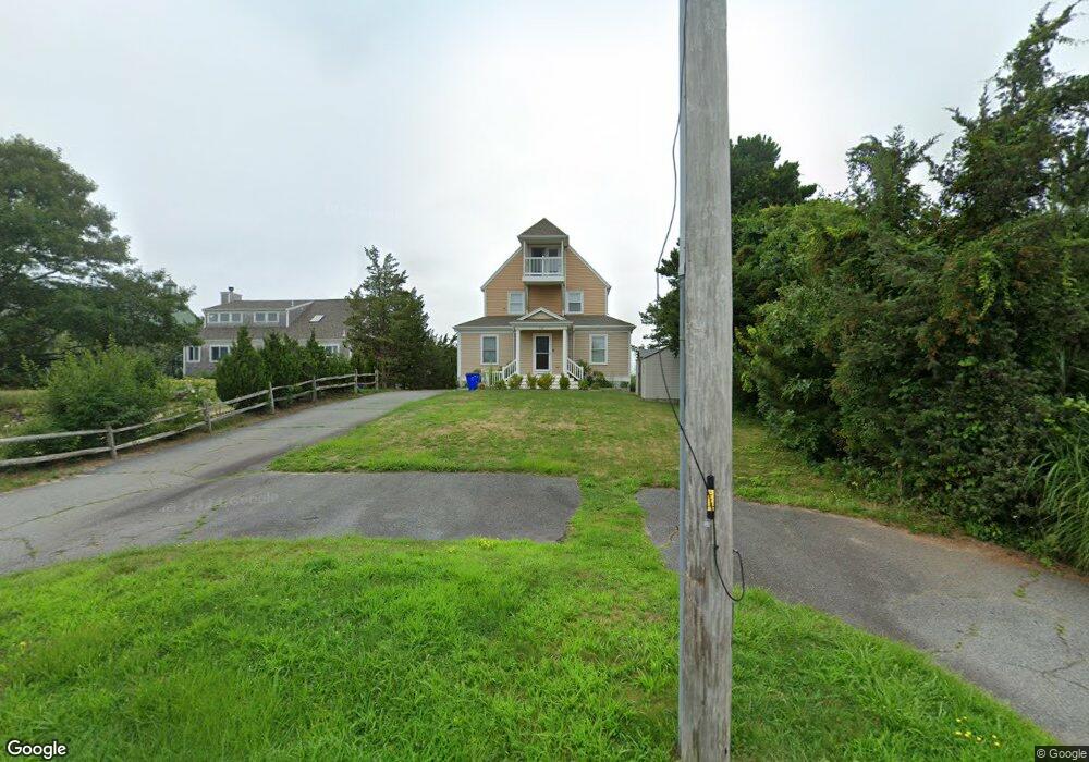
118 Wings Neck Rd Pocasset, MA 02559
Pocasset NeighborhoodEstimated Value: $1,087,000 - $1,989,000
5
Beds
3
Baths
1,501
Sq Ft
$1,101/Sq Ft
Est. Value
About This Home
This home is located at 118 Wings Neck Rd, Pocasset, MA 02559 and is currently estimated at $1,652,498, approximately $1,100 per square foot. 118 Wings Neck Rd is a home located in Barnstable County with nearby schools including Bourne High School and Cadence Academy Preschool - Bourne.
Ownership History
Date
Name
Owned For
Owner Type
Purchase Details
Closed on
Oct 26, 2009
Sold by
Mohan Arni N
Bought by
Mohan Arni N and Mohan Ann C
Current Estimated Value
Purchase Details
Closed on
Sep 30, 1994
Sold by
Karian Edward and Karian Lucy
Bought by
Mohan Arni N and Mohan Ann C
Home Financials for this Owner
Home Financials are based on the most recent Mortgage that was taken out on this home.
Original Mortgage
$160,000
Interest Rate
8.5%
Mortgage Type
Purchase Money Mortgage
Create a Home Valuation Report for This Property
The Home Valuation Report is an in-depth analysis detailing your home's value as well as a comparison with similar homes in the area
Home Values in the Area
Average Home Value in this Area
Purchase History
| Date | Buyer | Sale Price | Title Company |
|---|---|---|---|
| Mohan Arni N | -- | -- | |
| Mohan Arni N | -- | -- | |
| Mohan Arni N | $360,000 | -- | |
| Mohan Arni N | $360,000 | -- |
Source: Public Records
Mortgage History
| Date | Status | Borrower | Loan Amount |
|---|---|---|---|
| Previous Owner | Mohan Arni N | $160,000 |
Source: Public Records
Tax History Compared to Growth
Tax History
| Year | Tax Paid | Tax Assessment Tax Assessment Total Assessment is a certain percentage of the fair market value that is determined by local assessors to be the total taxable value of land and additions on the property. | Land | Improvement |
|---|---|---|---|---|
| 2025 | $13,418 | $1,718,000 | $1,246,300 | $471,700 |
| 2024 | $13,122 | $1,636,100 | $1,186,900 | $449,200 |
| 2023 | $12,798 | $1,452,700 | $1,050,400 | $402,300 |
| 2022 | $12,642 | $1,252,900 | $929,600 | $323,300 |
| 2021 | $11,970 | $1,111,400 | $846,000 | $265,400 |
| 2020 | $11,753 | $1,094,300 | $837,900 | $256,400 |
| 2019 | $11,288 | $1,074,000 | $837,900 | $236,100 |
| 2018 | $10,782 | $1,023,000 | $798,100 | $224,900 |
| 2017 | $9,323 | $905,100 | $693,500 | $211,600 |
| 2016 | $9,148 | $900,400 | $693,500 | $206,900 |
| 2015 | $8,928 | $886,600 | $679,700 | $206,900 |
Source: Public Records
Map
Nearby Homes
- 120 Wings Neck Rd
- 9 Richmond Rd
- 5 Richmond Rd
- 1 Richmond Rd
- 15 Richmond Rd
- 21 Richmond Rd
- 21 Richmond Rd
- 122 Wings Neck Rd
- 10 Richmond Rd
- 14 Richmond Rd
- 8 Richmond Rd
- 18 Richmond Rd
- 4 Richmond Rd
- 25 Richmond Rd
- 115 Wings Neck Rd
- 20 Richmond Rd
- 124 Wings Neck Rd
- 24 Richmond Rd
- 16 Spurr Rd
- 108 Wings Neck Rd