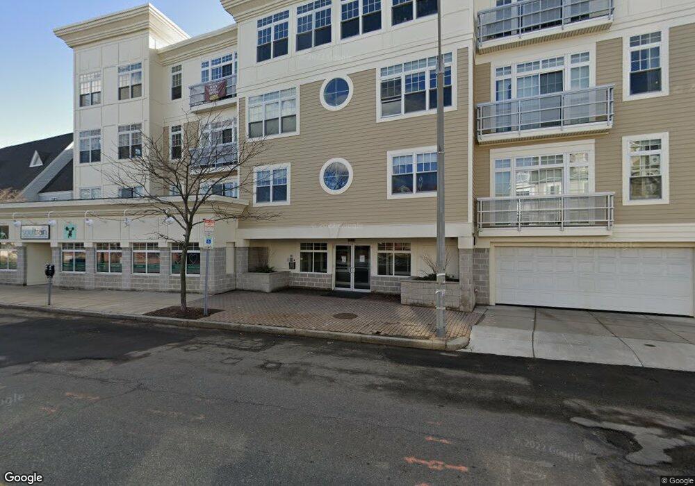
1180 Broadway Unit 101 Somerville, MA 02144
Teele Square NeighborhoodEstimated Value: $795,424
--
Bed
--
Bath
1,458
Sq Ft
$546/Sq Ft
Est. Value
About This Home
This home is located at 1180 Broadway Unit 101, Somerville, MA 02144 and is currently estimated at $795,424, approximately $545 per square foot. 1180 Broadway Unit 101 is a home located in Middlesex County with nearby schools including Somerville High School.
Ownership History
Date
Name
Owned For
Owner Type
Purchase Details
Closed on
Jul 15, 2010
Sold by
1188 Broadway Llc
Bought by
Benattia Cherif and Benattia Isma
Current Estimated Value
Purchase Details
Closed on
Jul 27, 2006
Sold by
James A Logan Post Bld
Bought by
1188 Broadway Llc
Home Financials for this Owner
Home Financials are based on the most recent Mortgage that was taken out on this home.
Original Mortgage
$10
Interest Rate
6.67%
Create a Home Valuation Report for This Property
The Home Valuation Report is an in-depth analysis detailing your home's value as well as a comparison with similar homes in the area
Home Values in the Area
Average Home Value in this Area
Purchase History
| Date | Buyer | Sale Price | Title Company |
|---|---|---|---|
| Benattia Cherif | $346,000 | -- | |
| 1188 Broadway Llc | $1,426,500 | -- | |
| 1188 Broadway Llc | $1,426,500 | -- |
Source: Public Records
Mortgage History
| Date | Status | Borrower | Loan Amount |
|---|---|---|---|
| Previous Owner | 1188 Broadway Llc | $10 | |
| Previous Owner | 1188 Broadway Llc | $10,000 |
Source: Public Records
Tax History Compared to Growth
Tax History
| Year | Tax Paid | Tax Assessment Tax Assessment Total Assessment is a certain percentage of the fair market value that is determined by local assessors to be the total taxable value of land and additions on the property. | Land | Improvement |
|---|---|---|---|---|
| 2025 | $8,181 | $432,400 | $0 | $432,400 |
| 2024 | $7,870 | $432,400 | $0 | $432,400 |
| 2023 | $7,502 | $432,400 | $0 | $432,400 |
| 2022 | $7,286 | $432,400 | $0 | $432,400 |
| 2021 | $7,217 | $432,400 | $0 | $432,400 |
| 2020 | $7,057 | $432,400 | $0 | $432,400 |
| 2019 | $7,493 | $432,400 | $0 | $432,400 |
| 2018 | $7,874 | $432,400 | $0 | $432,400 |
| 2017 | $7,673 | $407,900 | $0 | $407,900 |
| 2016 | $7,483 | $370,800 | $0 | $370,800 |
| 2015 | $7,396 | $362,900 | $0 | $362,900 |
Source: Public Records
Map
Nearby Homes
- 11 Watson St Unit 2
- 43 Weston Ave Unit 43B
- 9 Farragut Ave
- 14 Moore St
- 1 Packard Ave
- 69 Clarendon Ave Unit A
- 69 Clarendon Ave Unit B
- 55 Packard Ave Unit 1
- 57 Packard Ave Unit A
- 57 Packard Ave Unit B
- 233 Powder House Blvd
- 22 Ossipee Rd Unit 2
- 33 Conwell Ave
- 20 Electric Ave Unit 2
- 53 Paulina St
- 39 Seven Pines Ave
- 61 Cameron Ave
- 122 Holland St Unit 4
- 67-69 Cameron Ave
- 32 Gorham St
- 1180 Broadway
- 1188 Broadway Unit 407
- 1188 Broadway Unit 406
- 1188 Broadway Unit 405
- 1188 Broadway Unit 404
- 1188 Broadway Unit 403
- 1188 Broadway Unit 402
- 1188 Broadway Unit 401
- 1188 Broadway Unit 307
- 1188 Broadway Unit 306
- 1188 Broadway Unit 305
- 1188 Broadway Unit 304
- 1188 Broadway Unit 303
- 1188 Broadway Unit 301
- 1188 Broadway Unit 207
- 1188 Broadway Unit 206
- 1188 Broadway Unit 205
- 1188 Broadway Unit 204
- 1188 Broadway Unit 203
- 1188 Broadway Unit 202