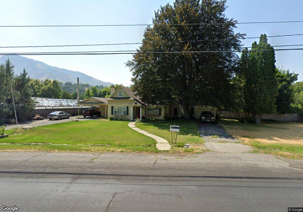
1180 Canyon Rd Logan, UT 84321
Wilson NeighborhoodEstimated Value: $481,223 - $551,000
Studio
--
Bath
2,094
Sq Ft
$242/Sq Ft
Est. Value
About This Home
This home is located at 1180 Canyon Rd, Logan, UT 84321 and is currently estimated at $505,741, approximately $241 per square foot. 1180 Canyon Rd is a home with nearby schools including Wilson School, Mount Logan Middle School, and Logan High School.
Ownership History
Date
Name
Owned For
Owner Type
Purchase Details
Closed on
Mar 13, 2025
Sold by
Henderson William Royal and Henderson Jill B
Bought by
Henderson William Royal and Henderson Jill B
Current Estimated Value
Purchase Details
Closed on
May 14, 2014
Sold by
Pehrson Patricia Ann
Bought by
Pehrson Patricia Ann
Create a Home Valuation Report for This Property
The Home Valuation Report is an in-depth analysis detailing your home's value as well as a comparison with similar homes in the area
Home Values in the Area
Average Home Value in this Area
Purchase History
| Date | Buyer | Sale Price | Title Company |
|---|---|---|---|
| Henderson William Royal | -- | None Listed On Document | |
| Henderson William Royal | -- | None Listed On Document | |
| Pehrson Patricia Ann | -- | None Available |
Source: Public Records
Tax History
| Year | Tax Paid | Tax Assessment Tax Assessment Total Assessment is a certain percentage of the fair market value that is determined by local assessors to be the total taxable value of land and additions on the property. | Land | Improvement |
|---|---|---|---|---|
| 2025 | $1,976 | $255,550 | $0 | $0 |
| 2024 | $2,027 | $253,970 | $0 | $0 |
| 2023 | $2,122 | $253,375 | $0 | $0 |
| 2022 | $2,279 | $254,085 | $0 | $0 |
| 2021 | $1,689 | $286,618 | $57,340 | $229,278 |
| 2020 | $1,543 | $234,908 | $57,340 | $177,568 |
| 2019 | $1,612 | $234,908 | $57,340 | $177,568 |
| 2018 | $1,630 | $216,440 | $57,340 | $159,100 |
| 2017 | $1,381 | $98,910 | $0 | $0 |
| 2016 | $1,432 | $95,700 | $0 | $0 |
| 2015 | $1,387 | $95,700 | $0 | $0 |
| 2014 | $1,254 | $95,700 | $0 | $0 |
| 2013 | -- | $95,700 | $0 | $0 |
Source: Public Records
Map
Nearby Homes
- 1045 Fox Farm Rd
- 1387 E 260 N
- 1374 E 260 N
- 1034 Thrushwood Dr
- 2758 N Canyon Cove Dr
- 2738 N Canyon Cove Dr
- 825 N 1400 E
- 128 S 1170 E
- 684 Apple Dr
- 661 E 600 N
- 28 River Pointe Dr
- 1393 Davis Ave
- 631 E 600 N
- 642 E 700 N
- 545 E Boulevard St
- 147 Winding Way Unit 50
- 3141 S 225 W
- 45 River Circle Dr
- 732 N 500 E
- 440 N 400 E
- 1154 Canyon Rd
- 1177 Canyon Rd
- 1185 Canyon Rd
- 1191 Canyon Rd
- 1206 Island Dr
- 1200 Island Dr
- 1220 Canyon Rd
- 1215 Canyon Rd
- 1210 Island Dr
- 1221 Island Dr
- 1228 Canyon Rd
- 1141 Fox Farm Rd
- 1223 Canyon Rd
- 1197 Sumac Dr
- 1137 Fox Farm Rd
- 1205 Sumac Dr
- 1228 Island Dr
- 1225 Island Dr
- 1125 Fox Farm Rd
- 1246 Canyon Rd