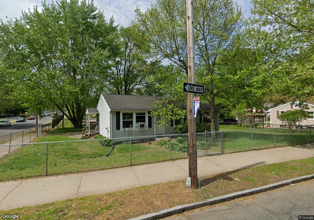
1180 Dwight St Springfield, MA 01107
Memorial Square NeighborhoodEstimated Value: $222,000 - $304,000
3
Beds
1
Bath
960
Sq Ft
$272/Sq Ft
Est. Value
About This Home
This home is located at 1180 Dwight St, Springfield, MA 01107 and is currently estimated at $260,869, approximately $271 per square foot. 1180 Dwight St is a home located in Hampden County with nearby schools including German Gerena Community School, High School Of Commerce, and Springfield High School of Science and Technology.
Ownership History
Date
Name
Owned For
Owner Type
Purchase Details
Closed on
Dec 15, 2008
Sold by
Household Finance Corp
Bought by
Rivera Carmen
Current Estimated Value
Home Financials for this Owner
Home Financials are based on the most recent Mortgage that was taken out on this home.
Original Mortgage
$48,000
Outstanding Balance
$32,269
Interest Rate
6.49%
Mortgage Type
Purchase Money Mortgage
Estimated Equity
$228,600
Purchase Details
Closed on
Jul 25, 2008
Sold by
Quinones Isolina
Bought by
Household Finance Corp
Create a Home Valuation Report for This Property
The Home Valuation Report is an in-depth analysis detailing your home's value as well as a comparison with similar homes in the area
Home Values in the Area
Average Home Value in this Area
Purchase History
| Date | Buyer | Sale Price | Title Company |
|---|---|---|---|
| Rivera Carmen | $60,000 | -- | |
| Household Finance Corp | $63,360 | -- |
Source: Public Records
Mortgage History
| Date | Status | Borrower | Loan Amount |
|---|---|---|---|
| Open | Rivera Carmen | $48,000 |
Source: Public Records
Tax History
| Year | Tax Paid | Tax Assessment Tax Assessment Total Assessment is a certain percentage of the fair market value that is determined by local assessors to be the total taxable value of land and additions on the property. | Land | Improvement |
|---|---|---|---|---|
| 2025 | $3,304 | $210,700 | $32,000 | $178,700 |
| 2024 | $3,263 | $203,200 | $32,000 | $171,200 |
| 2023 | $3,078 | $180,500 | $23,300 | $157,200 |
| 2022 | $1,893 | $100,600 | $21,200 | $79,400 |
| 2021 | $2,083 | $110,200 | $19,300 | $90,900 |
| 2020 | $1,525 | $78,100 | $19,300 | $58,800 |
| 2019 | $1,346 | $68,400 | $19,300 | $49,100 |
| 2018 | $1,319 | $67,000 | $19,300 | $47,700 |
| 2017 | $1,604 | $81,600 | $18,500 | $63,100 |
| 2016 | $1,559 | $79,300 | $18,500 | $60,800 |
| 2015 | $1,373 | $69,800 | $18,500 | $51,300 |
Source: Public Records
Map
Nearby Homes
- 26 Hebron St
- 13 Ringgold St
- 52 Osgood St
- 60 Ringgold St
- 49-53 Jefferson Ave
- 78 Prospect St
- 57 Narragansett St
- 31 Washburn St
- 62 Washburn St
- 211-213 Chapin Terrace
- 21 Merwin St
- 24 Melha Ave
- 148-150 Stafford St
- 571-573 Carew St
- 69 Winter St
- 20 Cottage St
- 140 Chestnut St Unit 706
- 140 Chestnut St Unit 702
- 140 Chestnut St Unit 204
- 140 Chestnut St Unit 819
- 1200 Dwight St
- 1218 Dwight St
- 59 Osgood St
- 69 Osgood St
- 12 Ringgold St Unit 14
- 20 Hebron St
- 65 Morgan St
- 16 Ringgold St Unit 18
- 26 Hebron St Unit 1
- 23 Hebron St
- 20 Ringgold St Unit 22
- 20-22 Ringgold St
- 30 Hebron St
- 0 (Ss) Ringgold Unit 73227043
- 24 Ringgold St
- 24 Ringgold St Unit 1
- 24 Ringgold St Unit 2
- 15 Ringgold St Unit 17
- 15-17 Ringgold St
- 64 Church St Unit 1
Your Personal Tour Guide
Ask me questions while you tour the home.