Estimated Value: $146,000
Studio
1
Bath
902
Sq Ft
$162/Sq Ft
Est. Value
About This Home
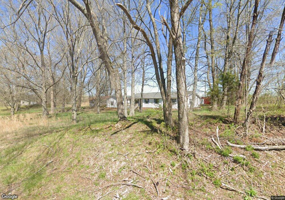
This home is located at 1180 Huron Rd, Huron, TN 38345 and is currently estimated at $146,000, approximately $161 per square foot. 1180 Huron Rd is a home located in Henderson County.
Ownership History
Date
Name
Owned For
Owner Type
Purchase Details
Closed on
Nov 14, 2022
Sold by
Wilkinson Marty
Bought by
Rounds James D and Rounds Shelley L
Current Estimated Value
Home Financials for this Owner
Home Financials are based on the most recent Mortgage that was taken out on this home.
Original Mortgage
$117,000
Outstanding Balance
$101,751
Interest Rate
6.09%
Mortgage Type
New Conventional
Estimated Equity
$44,249
Purchase Details
Closed on
Dec 1, 2020
Sold by
Wilkinson Margie M
Bought by
Wilkinson Marty T
Purchase Details
Closed on
Oct 15, 1993
Bought by
Wilkinson Margie M Etvir Harry
Purchase Details
Closed on
Aug 13, 1966
Bought by
Manley Tom and Manley Hazel
Create a Home Valuation Report for This Property
The Home Valuation Report is an in-depth analysis detailing your home's value as well as a comparison with similar homes in the area
Purchase History
| Date | Buyer | Sale Price | Title Company |
|---|---|---|---|
| Rounds James D | $130,000 | -- | |
| Rounds James D | $130,000 | None Listed On Document | |
| Wilkinson Marty T | -- | None Available | |
| Wilkinson Margie M Etvir Harry | -- | -- | |
| Manley Tom | -- | -- |
Source: Public Records
Mortgage History
| Date | Status | Borrower | Loan Amount |
|---|---|---|---|
| Open | Rounds James D | $117,000 | |
| Closed | Rounds James D | $117,000 |
Source: Public Records
Tax History
| Year | Tax Paid | Tax Assessment Tax Assessment Total Assessment is a certain percentage of the fair market value that is determined by local assessors to be the total taxable value of land and additions on the property. | Land | Improvement |
|---|---|---|---|---|
| 2025 | $31 | $2,000 | $1,750 | $250 |
| 2024 | $31 | $2,000 | $1,750 | $250 |
| 2023 | $31 | $2,000 | $1,750 | $250 |
| 2022 | $38 | $1,625 | $1,375 | $250 |
| 2021 | $38 | $1,625 | $1,375 | $250 |
| 2020 | $38 | $1,625 | $1,375 | $250 |
| 2019 | $38 | $1,625 | $1,375 | $250 |
| 2018 | $90 | $3,950 | $1,375 | $2,575 |
| 2017 | $90 | $3,950 | $1,375 | $2,575 |
| 2016 | $81 | $3,400 | $1,375 | $2,025 |
| 2015 | $81 | $3,400 | $1,375 | $2,025 |
| 2014 | $81 | $3,408 | $0 | $0 |
Source: Public Records
Map
Nearby Homes
- Highway 200
- 0 Tennessee 200
- 0 Tennessee 200
- 3955 Tennessee 200
- 96 Tennessee 200
- 4295 Tennessee 200
- 0 Mills Darden Rd
- 235 Mallard Ln
- 5035 Tennessee 200
- 5407 Highway 200
- 000 Moonshine Loop
- 00 Moonshine Loop
- 900 Hubberd Town Rd
- 00 Moonshine Loop
- 592 Hubberd Town Rd
- 00 Cider Way
- 000 Moonshine Rd
- 0 Cider Way
- 0 Sand Ridge Ln
- 3210 Crucifer Rd
Your Personal Tour Guide
Ask me questions while you tour the home.