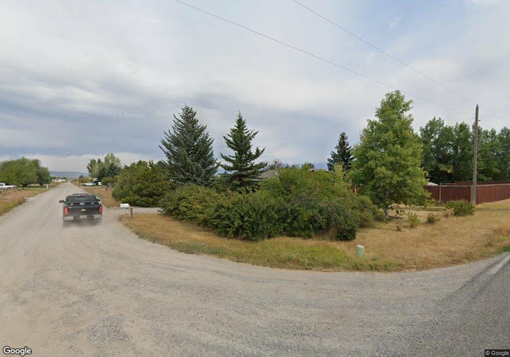
1180 Pache Rd Belgrade, MT 59714
Estimated Value: $558,000 - $633,000
2
Beds
1
Bath
1,274
Sq Ft
$468/Sq Ft
Est. Value
About This Home
This home is located at 1180 Pache Rd, Belgrade, MT 59714 and is currently estimated at $595,615, approximately $467 per square foot. 1180 Pache Rd is a home located in Gallatin County with nearby schools including Ridge View Elementary School, Belgrade High School, and Hearts & Hands Montessori School.
Ownership History
Date
Name
Owned For
Owner Type
Purchase Details
Closed on
Oct 26, 2018
Sold by
Mccurley John Patrick and Mccurley Lisa Diane
Bought by
Mccormick Scott and Horst Jamie Lee
Current Estimated Value
Home Financials for this Owner
Home Financials are based on the most recent Mortgage that was taken out on this home.
Original Mortgage
$205,000
Outstanding Balance
$179,515
Interest Rate
4.6%
Mortgage Type
New Conventional
Estimated Equity
$416,100
Purchase Details
Closed on
Sep 28, 2005
Sold by
Foubert Thomas R
Bought by
Mccurley John Patrick and Mccurley Lisa Diane
Home Financials for this Owner
Home Financials are based on the most recent Mortgage that was taken out on this home.
Original Mortgage
$184,500
Interest Rate
5.72%
Mortgage Type
Fannie Mae Freddie Mac
Create a Home Valuation Report for This Property
The Home Valuation Report is an in-depth analysis detailing your home's value as well as a comparison with similar homes in the area
Home Values in the Area
Average Home Value in this Area
Purchase History
| Date | Buyer | Sale Price | Title Company |
|---|---|---|---|
| Mccormick Scott | -- | American Land Title Co | |
| Mccurley John Patrick | -- | American Land Title Company |
Source: Public Records
Mortgage History
| Date | Status | Borrower | Loan Amount |
|---|---|---|---|
| Open | Mccormick Scott | $205,000 | |
| Previous Owner | Mccurley John Patrick | $184,500 |
Source: Public Records
Tax History
| Year | Tax Paid | Tax Assessment Tax Assessment Total Assessment is a certain percentage of the fair market value that is determined by local assessors to be the total taxable value of land and additions on the property. | Land | Improvement |
|---|---|---|---|---|
| 2025 | $2,311 | $601,500 | $0 | $0 |
| 2024 | $3,361 | $552,800 | $0 | $0 |
| 2023 | $3,351 | $552,800 | $0 | $0 |
| 2022 | $2,503 | $332,900 | $0 | $0 |
| 2021 | $2,656 | $332,900 | $0 | $0 |
| 2020 | $2,464 | $305,400 | $0 | $0 |
| 2019 | $2,509 | $305,400 | $0 | $0 |
| 2018 | $2,023 | $232,000 | $0 | $0 |
| 2017 | $2,084 | $232,000 | $0 | $0 |
| 2016 | $1,819 | $199,700 | $0 | $0 |
| 2015 | $1,695 | $199,700 | $0 | $0 |
| 2014 | $1,548 | $110,982 | $0 | $0 |
Source: Public Records
Map
Nearby Homes
- 93 Landmark Dr
- 375 Mactavish Ln
- 38 Harvester Ln
- 16 Wally D Ln
- 31 Pinnacle Dr
- 72 W Magnolia Dr
- 228 W Magnolia Dr
- 171 Meadow Brook Ln
- 148 Green Tree Dr
- tbd Collins
- 396 Green Belt Dr
- 65 Little Brook Ln
- 9 Pebble Brook Ln
- 445 Ghost Canyon Ct
- 129 Village Dr Unit 301B
- Lot 15 A TBD Riverway Rd
- 157 Woodman Dr
- 157 E Magnolia Dr
- 250 Jackson Ln
- 71 Leep Ln
