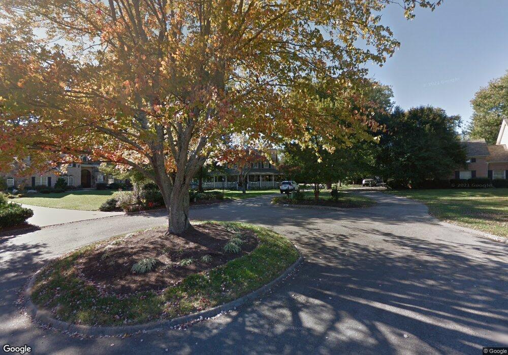
11805 Brookline Point Knoxville, TN 37934
Estimated Value: $714,000 - $1,046,000
4
Beds
3
Baths
2,806
Sq Ft
$293/Sq Ft
Est. Value
About This Home
This home is located at 11805 Brookline Point, Knoxville, TN 37934 and is currently estimated at $821,525, approximately $292 per square foot. 11805 Brookline Point is a home located in Knox County with nearby schools including Farragut Primary School, Farragut Intermediate School, and Farragut Middle School.
Ownership History
Date
Name
Owned For
Owner Type
Purchase Details
Closed on
Sep 10, 2007
Sold by
Baksa E J and Baksa Kristin K
Bought by
Evans Jason M and Evans Mary H
Current Estimated Value
Home Financials for this Owner
Home Financials are based on the most recent Mortgage that was taken out on this home.
Original Mortgage
$195,000
Outstanding Balance
$123,777
Interest Rate
6.62%
Mortgage Type
Purchase Money Mortgage
Estimated Equity
$697,748
Purchase Details
Closed on
Mar 6, 1995
Bought by
Baksa E J
Create a Home Valuation Report for This Property
The Home Valuation Report is an in-depth analysis detailing your home's value as well as a comparison with similar homes in the area
Home Values in the Area
Average Home Value in this Area
Purchase History
| Date | Buyer | Sale Price | Title Company |
|---|---|---|---|
| Evans Jason M | $340,000 | Lincoln Title Llc | |
| Baksa E J | $239,000 | -- |
Source: Public Records
Mortgage History
| Date | Status | Borrower | Loan Amount |
|---|---|---|---|
| Open | Evans Jason M | $195,000 |
Source: Public Records
Tax History Compared to Growth
Tax History
| Year | Tax Paid | Tax Assessment Tax Assessment Total Assessment is a certain percentage of the fair market value that is determined by local assessors to be the total taxable value of land and additions on the property. | Land | Improvement |
|---|---|---|---|---|
| 2024 | $2,047 | $131,750 | $0 | $0 |
| 2023 | $2,047 | $131,750 | $0 | $0 |
| 2022 | $2,047 | $131,750 | $0 | $0 |
| 2021 | $2,061 | $97,200 | $0 | $0 |
| 2020 | $2,061 | $97,200 | $0 | $0 |
| 2019 | $2,061 | $97,200 | $0 | $0 |
| 2018 | $2,061 | $97,200 | $0 | $0 |
| 2017 | $2,061 | $97,200 | $0 | $0 |
| 2016 | $1,915 | $0 | $0 | $0 |
| 2015 | $1,915 | $0 | $0 | $0 |
| 2014 | $1,915 | $0 | $0 | $0 |
Source: Public Records
Map
Nearby Homes
- 11646 S Monticello Dr
- 532 Lost Tree Ln
- 542 Lost Tree Ln
- 509 Saint Charles Ln
- 11707 Grigsby Chapel Rd
- 600 Old Tavern Cir
- 12004 N Fox Den Dr
- 632 Applegate Ln Unit D12
- 624 Applegate Ln Unit D10
- 11602 Grigsby Chapel Rd
- 270 Fordham Way Unit C7
- 275 Fordham Way Unit A2
- 11901 S Fox Den Dr
- 11506 Benwick Ln
- 520 Hickory Woods Rd
- 437 Chapel Grove Ln
- 11748 N Williamsburg Dr Unit 2
- 12000 S Fox Den Dr
- 754 Prince George Parish Dr
- 11737 Georgetowne Dr
- 11806 Brookline Point
- 609 E Fox Den Dr
- 607 E Fox Den Dr
- 11801 Brookline Point
- 11804 Brookline Point
- 611 E Fox Den Dr
- 605 E Fox Den Dr
- 1130 Snowy Peak Ln
- 1106 Snowy Peak Ln
- 1110 Snowy Peak Ln
- 1102 Snowy Peak Ln
- 11800 Brookline Point
- 613 E Fox Den Dr
- 701 Woodchase Dr
- 612 E Fox Den Dr
- 700 Woodchase Dr
- 600 E Fox Den Dr
- 517 Lost Tree Ln Unit 17
- 529 E Fox Den Dr
- 615 E Fox Den Dr