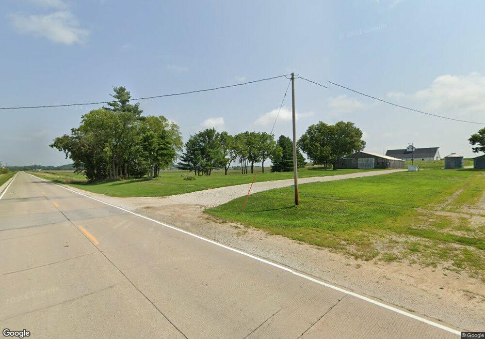
11805 R45 Hwy Prole, IA 50229
Warren County NeighborhoodEstimated Value: $253,887
3
Beds
1
Bath
10,000
Sq Ft
$25/Sq Ft
Est. Value
About This Home
This home is located at 11805 R45 Hwy, Prole, IA 50229 and is currently priced at $253,887, approximately $25 per square foot. 11805 R45 Hwy is a home located in Warren County with nearby schools including Martensdale Elementary School and Martensdale-St. Marys Junior/Senior High School.
Ownership History
Date
Name
Owned For
Owner Type
Purchase Details
Closed on
Apr 30, 2021
Sold by
Dean James Harvey
Bought by
Wiedmann Robert P and Wiedmann Lori A
Current Estimated Value
Home Financials for this Owner
Home Financials are based on the most recent Mortgage that was taken out on this home.
Original Mortgage
$1,500,000
Outstanding Balance
$1,356,481
Interest Rate
3.1%
Mortgage Type
Credit Line Revolving
Create a Home Valuation Report for This Property
The Home Valuation Report is an in-depth analysis detailing your home's value as well as a comparison with similar homes in the area
Home Values in the Area
Average Home Value in this Area
Purchase History
| Date | Buyer | Sale Price | Title Company |
|---|---|---|---|
| Wiedmann Robert P | $905,000 | None Listed On Document |
Source: Public Records
Mortgage History
| Date | Status | Borrower | Loan Amount |
|---|---|---|---|
| Open | Wiedmann Robert P | $1,500,000 |
Source: Public Records
Tax History Compared to Growth
Tax History
| Year | Tax Paid | Tax Assessment Tax Assessment Total Assessment is a certain percentage of the fair market value that is determined by local assessors to be the total taxable value of land and additions on the property. | Land | Improvement |
|---|---|---|---|---|
| 2025 | $2,926 | $174,300 | $54,800 | $119,500 |
| 2024 | $820 | $151,100 | $39,000 | $112,100 |
| 2023 | $744 | $45,500 | $39,000 | $6,500 |
| 2022 | $1,654 | $33,700 | $30,200 | $3,500 |
| 2021 | $1,580 | $104,600 | $33,000 | $71,600 |
| 2020 | $1,580 | $101,100 | $33,600 | $67,500 |
| 2019 | $1,498 | $101,100 | $33,600 | $67,500 |
| 2018 | $1,470 | $60,800 | $0 | $0 |
| 2017 | $1,470 | $60,800 | $0 | $0 |
| 2016 | $1,378 | $113,500 | $0 | $0 |
| 2015 | $1,378 | $55,500 | $0 | $0 |
| 2014 | $1,390 | $112,200 | $0 | $0 |
Source: Public Records
Map
Nearby Homes
- 0 Keokuk St
- 00 Keokuk St
- 214 Walnut Dr
- 265 Hwy 28 Hwy
- 320 Burlington Ave
- R45 Highway
- 13450 R45 Hwy
- 610 Franklin Dr
- 3726 Mcgregor St
- 0 Mcgregor St Unit 22243665
- 33rd Avenue
- 01 Mcgregor St
- 01 Kennedy St
- 01 33rd Ave
- 02 33rd Ave
- 00 33rd Ave
- TBD 28th Ave
- 00 Hempstead Place
- 0 Hempstead Place
- 00 County Road R45
- 0 Highway 45 Hwy Unit 622712
- 00 R45
- 4354 Johnson St
- 12209 R45 Hwy
- 12068 45th Ave
- 03 Keokuk St
- 01 Keokuk St
- 4538 Johnson St
- 02 45th Ave
- 01 45th Ave
- 12367 R45 Hwy
- 0 Johnson St Unit 521240
- 4606 Johnson St
- 4436 Keokuk St
- 12159 45th Ave
- 4650 Johnson St
- 4378 Keokuk St
- 4496 Keokuk St
- 0 Johnson & Hwy R45 Unit 5478908
- 4494 Keokuk St
