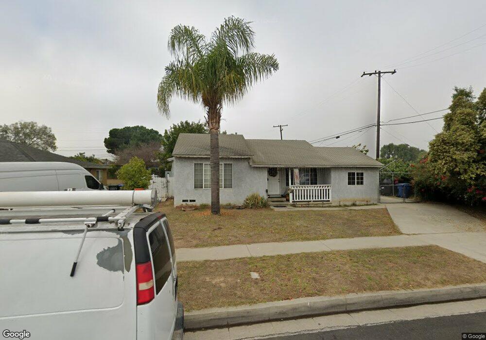
11813 Leland Ave Whittier, CA 90605
South Whittier NeighborhoodEstimated Value: $773,000 - $863,000
4
Beds
3
Baths
1,450
Sq Ft
$557/Sq Ft
Est. Value
About This Home
This home is located at 11813 Leland Ave, Whittier, CA 90605 and is currently estimated at $806,955, approximately $556 per square foot. 11813 Leland Ave is a home located in Los Angeles County with nearby schools including California High School, St. Paul Of The Cross Elementary School, and St. Gregory The Great.
Ownership History
Date
Name
Owned For
Owner Type
Purchase Details
Closed on
Sep 19, 2003
Sold by
Lopez Filiberto Javier
Bought by
Lopez Beatriz and Montoya Octavio
Current Estimated Value
Purchase Details
Closed on
Aug 1, 2003
Sold by
Montoya Octavio
Bought by
Lopez Beatriz
Purchase Details
Closed on
Jan 7, 1994
Sold by
Reynoso Carlos B
Bought by
Lopez Filiberto and Lopez Beatriz
Create a Home Valuation Report for This Property
The Home Valuation Report is an in-depth analysis detailing your home's value as well as a comparison with similar homes in the area
Home Values in the Area
Average Home Value in this Area
Purchase History
| Date | Buyer | Sale Price | Title Company |
|---|---|---|---|
| Lopez Beatriz | -- | United Title Company | |
| Lopez Beatriz | -- | United Title Company | |
| Lopez Filiberto | -- | Southland Title |
Source: Public Records
Tax History Compared to Growth
Tax History
| Year | Tax Paid | Tax Assessment Tax Assessment Total Assessment is a certain percentage of the fair market value that is determined by local assessors to be the total taxable value of land and additions on the property. | Land | Improvement |
|---|---|---|---|---|
| 2025 | $4,867 | $378,324 | $234,115 | $144,209 |
| 2024 | $4,867 | $370,907 | $229,525 | $141,382 |
| 2023 | $4,719 | $363,635 | $225,025 | $138,610 |
| 2022 | $4,750 | $356,506 | $220,613 | $135,893 |
| 2021 | $4,651 | $349,517 | $216,288 | $133,229 |
| 2019 | $4,571 | $339,152 | $209,874 | $129,278 |
| 2018 | $4,378 | $332,503 | $205,759 | $126,744 |
| 2017 | $91 | $325,984 | $201,725 | $124,259 |
| 2016 | $4,161 | $319,593 | $197,770 | $121,823 |
| 2015 | $4,058 | $314,794 | $194,800 | $119,994 |
| 2014 | $4,022 | $308,629 | $190,985 | $117,644 |
Source: Public Records
Map
Nearby Homes
- 13531 Utica St
- 13538 Lukay St
- 13481 Meyer Rd
- 13513 Leffingwell Rd
- 11828 Louis Ave
- 13857 Leffingwell Rd
- 13272 Beaty Ave
- 13703 Placid Dr
- 11116 Leland Ave
- 12309 Ramsey Dr
- 11531 Sunnybrook Ln
- 11525 Sunnybrook Ln
- 14034 Coteau Dr Unit 1103
- 11518 Fidel Ave
- 11624 Starlight Ave
- 11118 Bunker Ln
- 13213 Leffingwell Rd
- 10849 Inez St
- 11820 Painter Ave
- 11102 Eagle Ln
- 11817 Leland Ave
- 13537 Utica St
- 11825 Leland Ave
- 11806 Leland Ave
- 11812 Leland Ave
- 11802 Leland Ave
- 11818 Leland Ave
- 13525 Utica St
- 11722 Leland Ave
- 11824 Leland Ave
- 11903 Leland Ave
- 11718 Leland Ave
- 13613 Utica St
- 11809 Alclad Ave
- 11813 Alclad Ave
- 13534 Utica St
- 11907 Leland Ave
- 11712 Leland Ave
- 13540 Utica St
- 13526 Utica St