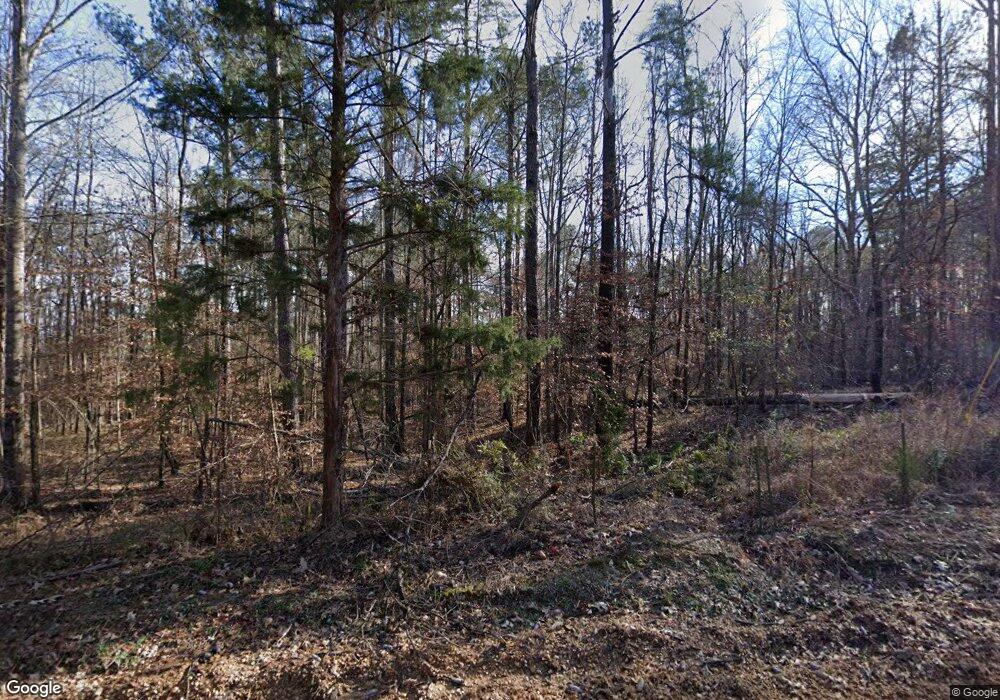
1182 Curtis Rd Hazlehurst, MS 39083
Estimated Value: $304,839 - $324,000
3
Beds
3
Baths
3,300
Sq Ft
$96/Sq Ft
Est. Value
About This Home
This home is located at 1182 Curtis Rd, Hazlehurst, MS 39083 and is currently estimated at $316,280, approximately $95 per square foot. 1182 Curtis Rd is a home located in Copiah County with nearby schools including Hazlehurst Middle School and Hazlehurst High School.
Ownership History
Date
Name
Owned For
Owner Type
Purchase Details
Closed on
Jun 21, 2021
Sold by
Hayles Paul and Hayles Meredith
Bought by
Breaux Bernie Michael and Breaux Ketti B
Current Estimated Value
Purchase Details
Closed on
Mar 15, 2006
Sold by
Killens Rupert Michael and Killens Mike
Bought by
Duguid Brent and Duguid Stephanie
Home Financials for this Owner
Home Financials are based on the most recent Mortgage that was taken out on this home.
Original Mortgage
$193,969
Interest Rate
6.25%
Mortgage Type
Purchase Money Mortgage
Create a Home Valuation Report for This Property
The Home Valuation Report is an in-depth analysis detailing your home's value as well as a comparison with similar homes in the area
Home Values in the Area
Average Home Value in this Area
Purchase History
| Date | Buyer | Sale Price | Title Company |
|---|---|---|---|
| Breaux Bernie Michael | -- | None Listed On Document | |
| Duguid Brent | -- | -- | |
| Duguid Brent | -- | -- |
Source: Public Records
Mortgage History
| Date | Status | Borrower | Loan Amount |
|---|---|---|---|
| Previous Owner | Duguid Brent | $193,969 |
Source: Public Records
Tax History Compared to Growth
Tax History
| Year | Tax Paid | Tax Assessment Tax Assessment Total Assessment is a certain percentage of the fair market value that is determined by local assessors to be the total taxable value of land and additions on the property. | Land | Improvement |
|---|---|---|---|---|
| 2025 | $1,618 | $22,832 | $0 | $0 |
| 2024 | $1,618 | $20,744 | $0 | $0 |
| 2023 | $2,049 | $19,572 | $0 | $0 |
| 2022 | $2,099 | $19,575 | $0 | $0 |
| 2021 | $2,054 | $19,578 | $0 | $0 |
| 2020 | $1,988 | $18,905 | $0 | $0 |
| 2019 | $2,285 | $18,909 | $0 | $0 |
| 2018 | $2,316 | $18,912 | $0 | $0 |
| 2017 | $3,379 | $28,310 | $0 | $0 |
| 2016 | $3,379 | $27,884 | $0 | $0 |
| 2015 | $1,915 | $18,615 | $0 | $0 |
| 2014 | $1,915 | $18,607 | $0 | $0 |
Source: Public Records
Map
Nearby Homes
- 3200 Tower Rd
- 4069 Dixie Garden Rd
- 4069 Dixie Rd
- 0 Broome Rd
- 2142 Tyson Rd
- 1010 Tarver Ln
- 1015 Tarver Ln
- 1005 Tarver Ln
- 1000 Old Sylvarena Rd
- 330 S Extension St
- 117 Keri Dr Unit 874
- 209 Downing St
- 1067 Williams Rd
- 0 Lee Beall Cir Unit 4126382
- 1061 3rd St
- 1029 Loom St
- 1017 Seventh St
- 1015 Herbert Ln
- 3048 Georgetown St
- 744 Georgetown St
- 1176 Curtis Rd
- 1020 Curtis Rd
- 1011 Curtis Rd
- 2125 Martinsville Rd
- 2155 Martinsville Rd
- 2125 Martinsville Rd
- 2119 Martinsville Rd
- 2116 Martinsville Rd
- 2186 Martinsville Rd
- 5044 Martinsville Rd
- 3026 Martinsville Rd
- 4164 Barner Rd
- 3070 Martinsville Rd
- 3070 Martinsville Rd
- 5024 Barner Rd
- 2048 Martinsville Rd
- 2029 Martinsville Rd
- 5058 Barner Rd
- 4191 Barner Rd
- 4153 Barner Rd
