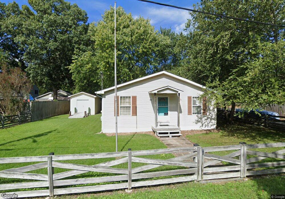
1182 Grove Ave Shady Side, MD 20764
Estimated Value: $371,000 - $438,000
--
Bed
2
Baths
1,650
Sq Ft
$246/Sq Ft
Est. Value
About This Home
This home is located at 1182 Grove Ave, Shady Side, MD 20764 and is currently estimated at $406,670, approximately $246 per square foot. 1182 Grove Ave is a home located in Anne Arundel County with nearby schools including Shady Side Elementary School, Southern Middle School, and Southern High School.
Ownership History
Date
Name
Owned For
Owner Type
Purchase Details
Closed on
Dec 6, 1999
Sold by
Moriarty Catherine E
Bought by
Melech Gene
Current Estimated Value
Purchase Details
Closed on
Mar 31, 1998
Sold by
Boarman Thomas W
Bought by
Moriarty Catherine E
Purchase Details
Closed on
May 18, 1995
Sold by
Bankers Trust Co California Te
Bought by
Boarman Thomas W
Home Financials for this Owner
Home Financials are based on the most recent Mortgage that was taken out on this home.
Original Mortgage
$59,900
Interest Rate
8.34%
Purchase Details
Closed on
Jan 27, 1995
Sold by
Burson John S
Bought by
Bankers Trust Co Ca
Create a Home Valuation Report for This Property
The Home Valuation Report is an in-depth analysis detailing your home's value as well as a comparison with similar homes in the area
Home Values in the Area
Average Home Value in this Area
Purchase History
| Date | Buyer | Sale Price | Title Company |
|---|---|---|---|
| Melech Gene | $125,000 | -- | |
| Moriarty Catherine E | $110,000 | -- | |
| Boarman Thomas W | $49,900 | -- | |
| Bankers Trust Co Ca | $60,000 | -- |
Source: Public Records
Mortgage History
| Date | Status | Borrower | Loan Amount |
|---|---|---|---|
| Previous Owner | Bankers Trust Co Ca | $59,900 | |
| Closed | Melech Gene | -- |
Source: Public Records
Tax History Compared to Growth
Tax History
| Year | Tax Paid | Tax Assessment Tax Assessment Total Assessment is a certain percentage of the fair market value that is determined by local assessors to be the total taxable value of land and additions on the property. | Land | Improvement |
|---|---|---|---|---|
| 2025 | $2,910 | $306,433 | -- | -- |
| 2024 | $2,910 | $289,467 | $0 | $0 |
| 2023 | $2,792 | $272,500 | $140,500 | $132,000 |
| 2022 | $2,641 | $268,167 | $0 | $0 |
| 2021 | $5,201 | $263,833 | $0 | $0 |
| 2020 | $2,519 | $259,500 | $140,500 | $119,000 |
| 2019 | $2,534 | $251,367 | $0 | $0 |
| 2018 | $2,466 | $243,233 | $0 | $0 |
| 2017 | $2,387 | $235,100 | $0 | $0 |
| 2016 | -- | $219,833 | $0 | $0 |
| 2015 | -- | $204,567 | $0 | $0 |
| 2014 | -- | $189,300 | $0 | $0 |
Source: Public Records
Map
Nearby Homes
- 1208 Oak Ave
- 1220 Grove Ave
- 1213 Oak Ave
- 1461 Cedarhurst Rd
- 0 Haile Pkwy Unit MDAA2127474
- 1445 & 1447 Haile Pkwy
- 1436 Haile Pkwy
- 4950 W End Ave
- 4949 Idlewilde Rd
- 1512 Lincoln Rd
- 1428 Haile Pkwy
- 1408 & 1410 Haile Pkwy
- 0 Shady Side Rd Unit MDAA2113156
- 0 Shady Side Rd Unit MDAA2113166
- 1650 Cedar Ln
- 5211 Al Jones Dr
- 6070 Shady Side Rd
- 5235 Al Jones Dr
- 6118 Shady Side Rd
- 6152 Shady Side Rd