1182 Hubbard Rd Galloway, OH 43119
Estimated Value: $467,000 - $504,689
4
Beds
2
Baths
1,680
Sq Ft
$288/Sq Ft
Est. Value
About This Home
This home is located at 1182 Hubbard Rd, Galloway, OH 43119 and is currently estimated at $483,922, approximately $288 per square foot. 1182 Hubbard Rd is a home located in Franklin County with nearby schools including Brown Elementary School, Hilliard Station Sixth Grade Elementary School, and Hilliard Memorial Middle School.
Ownership History
Date
Name
Owned For
Owner Type
Purchase Details
Closed on
Feb 26, 2024
Sold by
Lillyman William B and Lillyman Catherine A
Bought by
Mcmillen Anne and Toles Alexandra
Current Estimated Value
Purchase Details
Closed on
Aug 17, 1995
Sold by
Peters Raymond E
Bought by
Thomas Wilbert N and Thomas Sandra L
Purchase Details
Closed on
Jul 16, 1987
Bought by
Lillyman William B
Create a Home Valuation Report for This Property
The Home Valuation Report is an in-depth analysis detailing your home's value as well as a comparison with similar homes in the area
Home Values in the Area
Average Home Value in this Area
Purchase History
| Date | Buyer | Sale Price | Title Company |
|---|---|---|---|
| Mcmillen Anne | $480,000 | None Listed On Document | |
| Thomas Wilbert N | $35,000 | -- | |
| Lillyman William B | $72,000 | -- |
Source: Public Records
Tax History Compared to Growth
Tax History
| Year | Tax Paid | Tax Assessment Tax Assessment Total Assessment is a certain percentage of the fair market value that is determined by local assessors to be the total taxable value of land and additions on the property. | Land | Improvement |
|---|---|---|---|---|
| 2024 | $8,761 | $141,120 | $94,500 | $46,620 |
| 2023 | $7,718 | $141,120 | $94,500 | $46,620 |
| 2022 | $8,221 | $119,390 | $76,090 | $43,300 |
| 2021 | $8,224 | $119,390 | $76,090 | $43,300 |
| 2020 | $8,232 | $119,390 | $76,090 | $43,300 |
| 2019 | $8,367 | $103,780 | $66,150 | $37,630 |
| 2018 | $6,725 | $103,780 | $66,150 | $37,630 |
| 2017 | $8,347 | $103,780 | $66,150 | $37,630 |
| 2016 | $5,381 | $61,820 | $27,270 | $34,550 |
| 2015 | $5,101 | $61,820 | $27,270 | $34,550 |
| 2014 | $5,116 | $61,820 | $27,270 | $34,550 |
| 2013 | $2,349 | $58,870 | $25,970 | $32,900 |
Source: Public Records
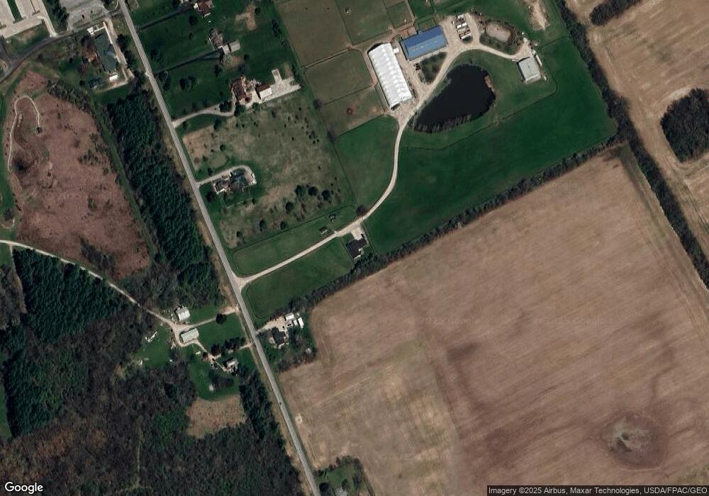
Map
Nearby Homes
- 1280 Four Star Dr W
- 8654 Cadet Dr N
- 1278 Lieutenant Dr
- 8528 Cadence Dr
- 8520 Cadence Dr
- 0 Dellinger Rd Unit 9 2030113
- 9519 High Free Pike
- 8333 Squad Dr
- 8421 Union Dr
- 756 Infantry Dr
- 8527 Carbine Place
- 8626 Fairbrook Ave
- 287 Greenlake St
- 8482 Dover Crest Ct
- 318 Kellybrook Place
- 8595 Abbot Cove Ave
- 2263 Amity Rd
- 360 State Route 142 NE
- 270 State Route 142 NE
- 70 Riverside Dr
- 1246 Hubbard Rd
- 1122 Hubbard Rd
- 1270 Hubbard Rd
- 1100 Hubbard Rd
- 1296 Hubbard Rd
- 1300 Hubbard Rd
- 1150 Hubbard Rd
- 1362 Hubbard Rd
- 1376 Hubbard Rd
- 1006 Hubbard Rd
- 1306 Hubbard Rd
- 8858 Stillwater Dr
- 8866 Stillwater Dr
- 8874 Stillwater Dr
- 8882 Stillwater Dr
- 8890 Stillwater Dr
- 8898 Stillwater Dr
- 8885 Roberts Rd
- 8906 Stillwater Dr
- 8914 Stillwater Dr