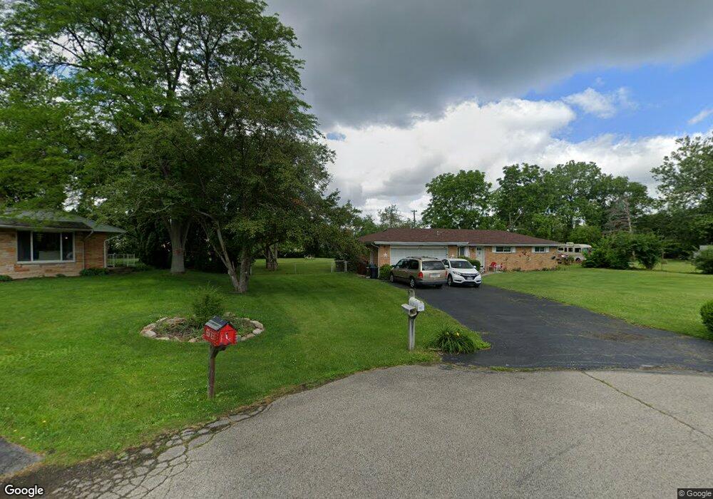
1182 Rosendale Dr Beavercreek, OH 45430
Estimated Value: $239,000 - $293,000
3
Beds
2
Baths
1,344
Sq Ft
$199/Sq Ft
Est. Value
About This Home
This home is located at 1182 Rosendale Dr, Beavercreek, OH 45430 and is currently estimated at $267,626, approximately $199 per square foot. 1182 Rosendale Dr is a home located in Greene County with nearby schools including Valley Elementary School, Herman K Ankeney Middle School, and Beavercreek High School.
Ownership History
Date
Name
Owned For
Owner Type
Purchase Details
Closed on
Oct 15, 1996
Sold by
Shaffer Randall A
Bought by
Scott Richard R and Scott A
Current Estimated Value
Purchase Details
Closed on
Jun 8, 1994
Sold by
Yanulavich Robert J
Bought by
Shaffer Randall A and Shaffer L
Home Financials for this Owner
Home Financials are based on the most recent Mortgage that was taken out on this home.
Original Mortgage
$73,200
Interest Rate
5.12%
Mortgage Type
New Conventional
Create a Home Valuation Report for This Property
The Home Valuation Report is an in-depth analysis detailing your home's value as well as a comparison with similar homes in the area
Home Values in the Area
Average Home Value in this Area
Purchase History
| Date | Buyer | Sale Price | Title Company |
|---|---|---|---|
| Scott Richard R | $111,000 | -- | |
| Shaffer Randall A | $91,500 | -- |
Source: Public Records
Mortgage History
| Date | Status | Borrower | Loan Amount |
|---|---|---|---|
| Previous Owner | Shaffer Randall A | $73,200 |
Source: Public Records
Tax History Compared to Growth
Tax History
| Year | Tax Paid | Tax Assessment Tax Assessment Total Assessment is a certain percentage of the fair market value that is determined by local assessors to be the total taxable value of land and additions on the property. | Land | Improvement |
|---|---|---|---|---|
| 2024 | $3,957 | $70,410 | $16,070 | $54,340 |
| 2023 | $3,957 | $70,410 | $16,070 | $54,340 |
| 2022 | $3,230 | $52,420 | $11,900 | $40,520 |
| 2021 | $3,164 | $52,420 | $11,900 | $40,520 |
| 2020 | $3,188 | $52,420 | $11,900 | $40,520 |
| 2019 | $2,909 | $45,130 | $8,970 | $36,160 |
| 2018 | $2,568 | $45,130 | $8,970 | $36,160 |
| 2017 | $2,335 | $45,130 | $8,970 | $36,160 |
| 2016 | $2,335 | $40,800 | $8,970 | $31,830 |
| 2015 | $2,321 | $40,800 | $8,970 | $31,830 |
| 2014 | $2,286 | $40,800 | $8,970 | $31,830 |
Source: Public Records
Map
Nearby Homes
- 1010 Renown Rd
- 3998 Willowcrest Rd
- 4020 E Patterson Rd
- 3667 Creekwood Ct
- 3917 E Summit Ridge Dr
- 3880 Southview Ave
- 1285 Wallaby Dr
- 1617 N Central Dr
- 720 Talowood Dr
- 1668 N Central Dr
- 4174 Mapleview Dr
- 1641 Woods Dr
- 4071 Lyndell Dr
- 1737 N Central Dr
- 1746 Grange Hall Rd
- 1653 Stedman Ln
- 615 Bendwood Way
- 1778 N Longview St
- 4174 White Hawk Ct
- 611 Cape Cod Ct
- 3937 E Patterson Rd
- 1170 Rosendale Dr
- 1150 Richfield Center
- 1164 Richfield Center
- 1162 Rosendale Dr
- 3934 Rockfield Dr
- 3916 Rockfield Dr
- 1148 Rosendale Dr
- 3904 Rockfield Dr
- 3927 E Patterson Rd
- 1170 Richfield Center
- 3913 E Patterson Rd
- 1140 Rosendale Dr
- 3897 E Patterson Rd
- 1132 Rosendale Dr
- 3933 Rockfield Dr
- 3919 Rockfield Dr
- 3943 Rockfield Dr
- 1131 Rosendale Dr
- 1149 Kenora Cir