11826 Mcpherson Rd Leavenworth, KS 66048
Estimated Value: $437,000 - $547,063
3
Beds
2
Baths
1,650
Sq Ft
$308/Sq Ft
Est. Value
About This Home
This home is located at 11826 Mcpherson Rd, Leavenworth, KS 66048 and is currently estimated at $509,021, approximately $308 per square foot. 11826 Mcpherson Rd is a home located in Leavenworth County with nearby schools including Lansing Elementary School, Lansing Middle 6-8, and Lansing High 9-12.
Ownership History
Date
Name
Owned For
Owner Type
Purchase Details
Closed on
Apr 1, 2000
Bought by
Steven Tavis G and Steven Sallye Tavis
Current Estimated Value
Home Financials for this Owner
Home Financials are based on the most recent Mortgage that was taken out on this home.
Original Mortgage
$60,000
Outstanding Balance
$20,556
Interest Rate
8.23%
Mortgage Type
New Conventional
Estimated Equity
$488,465
Create a Home Valuation Report for This Property
The Home Valuation Report is an in-depth analysis detailing your home's value as well as a comparison with similar homes in the area
Home Values in the Area
Average Home Value in this Area
Purchase History
| Date | Buyer | Sale Price | Title Company |
|---|---|---|---|
| Steven Tavis G | $100,000 | -- |
Source: Public Records
Mortgage History
| Date | Status | Borrower | Loan Amount |
|---|---|---|---|
| Open | Steven Tavis G | $60,000 | |
| Closed | Steven Tavis G | $167,480 |
Source: Public Records
Tax History Compared to Growth
Tax History
| Year | Tax Paid | Tax Assessment Tax Assessment Total Assessment is a certain percentage of the fair market value that is determined by local assessors to be the total taxable value of land and additions on the property. | Land | Improvement |
|---|---|---|---|---|
| 2025 | $4,956 | $45,565 | $8,353 | $37,212 |
| 2024 | $4,665 | $43,812 | $7,663 | $36,149 |
| 2023 | $4,665 | $43,102 | $7,657 | $35,445 |
| 2022 | $4,268 | $38,031 | $6,726 | $31,305 |
| 2021 | $3,670 | $32,288 | $5,829 | $26,459 |
| 2020 | $3,519 | $30,452 | $5,581 | $24,871 |
| 2019 | $4,058 | $34,989 | $10,396 | $24,593 |
| 2018 | $3,805 | $32,853 | $9,476 | $23,377 |
| 2017 | $3,785 | $32,853 | $9,361 | $23,492 |
| 2016 | $3,780 | $32,853 | $9,302 | $23,551 |
| 2015 | $3,608 | $31,498 | $9,302 | $22,196 |
| 2014 | $3,488 | $31,007 | $9,302 | $21,705 |
Source: Public Records
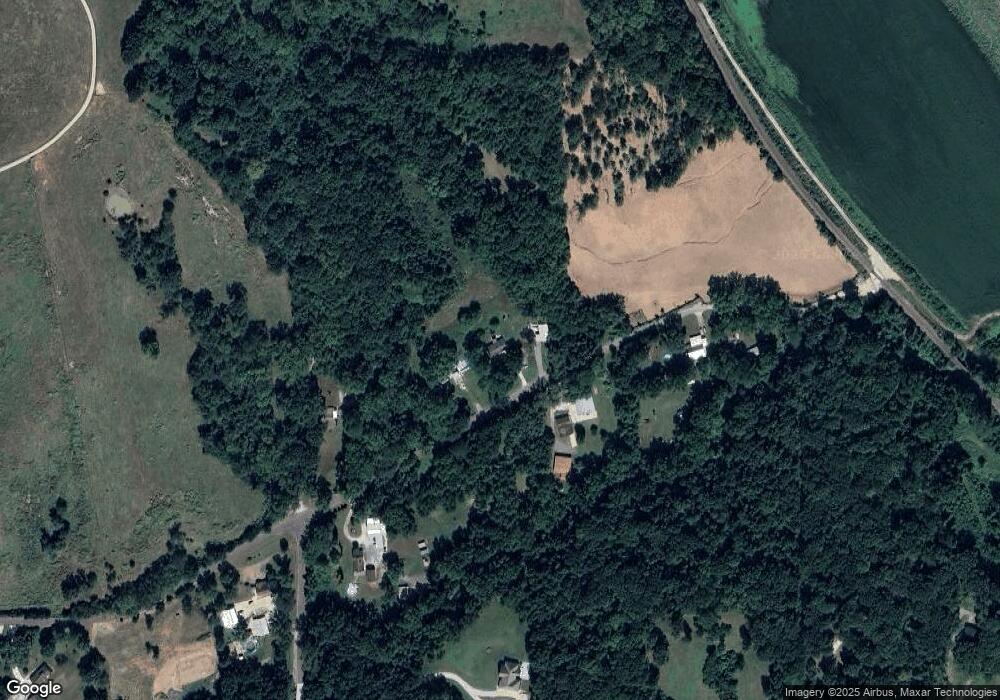
Map
Nearby Homes
- 24730 Tontine Rd
- 24131 126th St
- 13788 McIntyre2 Rd
- 13788 McIntyre1 Rd
- 13788 Mcintyre Rd
- 513 Forestglen Ln
- 102 S 3rd Ct
- 901 S Main St
- 218 E Kay St
- 131 Rock Creek Loop
- 209 E Kay St
- 506 1st Terrace
- 24431 139th St
- 13965 Mc Intyre Rd
- 115 W Gilman Rd
- 202 S Main St
- 124 S Main St
- Lot 2 139th St
- 527 S Valley Dr
- 922 Southfork St
- 11776 Mcpherson Rd
- 11779 Mcpherson Rd
- 11715 Mcpherson Rd
- 11875 Mcpherson Rd
- 24975 119th St
- 24897 119th St
- 11770 Kelly Rd
- 11820 Kelly Rd
- 11710 Kelly Rd
- 12025 Mcpherson Rd
- 12029 Mcpherson Rd
- 11626 Kelly Rd
- 11900 Mcpherson Rd
- 11771 Kelly Rd
- 11642 Kelly Rd
- 24751 119th St
- 12109 Mcpherson Rd
- 25332 Wolcott Rd
- 11765 Kelly Rd
- 12138 Mcpherson Rd