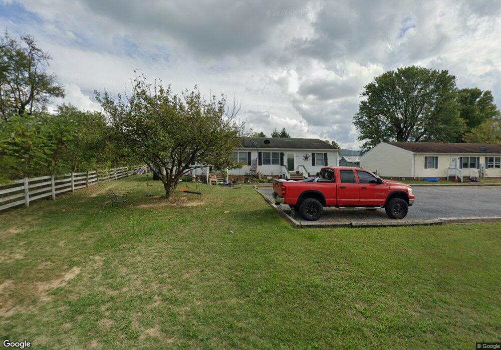
1183 Forrest Dr Unit A Stanley, VA 22851
Estimated Value: $363,000 - $446,000
8
Beds
4
Baths
4,320
Sq Ft
$91/Sq Ft
Est. Value
About This Home
This home is located at 1183 Forrest Dr Unit A, Stanley, VA 22851 and is currently estimated at $394,753, approximately $91 per square foot. 1183 Forrest Dr Unit A is a home located in Page County with nearby schools including Stanley Seventh-day Adventist School.
Ownership History
Date
Name
Owned For
Owner Type
Purchase Details
Closed on
Sep 13, 2023
Sold by
Burner John H and Burner Sandra P
Bought by
Sky Residl Pro Llc
Current Estimated Value
Home Financials for this Owner
Home Financials are based on the most recent Mortgage that was taken out on this home.
Original Mortgage
$314,000
Outstanding Balance
$180,193
Interest Rate
6.57%
Mortgage Type
Construction
Estimated Equity
$214,560
Purchase Details
Closed on
Sep 1, 2000
Create a Home Valuation Report for This Property
The Home Valuation Report is an in-depth analysis detailing your home's value as well as a comparison with similar homes in the area
Home Values in the Area
Average Home Value in this Area
Purchase History
| Date | Buyer | Sale Price | Title Company |
|---|---|---|---|
| Sky Residl Pro Llc | $392,500 | -- | |
| -- | -- | -- |
Source: Public Records
Mortgage History
| Date | Status | Borrower | Loan Amount |
|---|---|---|---|
| Open | Sky Residl Pro Llc | $314,000 |
Source: Public Records
Tax History
| Year | Tax Paid | Tax Assessment Tax Assessment Total Assessment is a certain percentage of the fair market value that is determined by local assessors to be the total taxable value of land and additions on the property. | Land | Improvement |
|---|---|---|---|---|
| 2025 | $2,101 | $287,800 | $35,000 | $252,800 |
| 2024 | $2,101 | $287,800 | $35,000 | $252,800 |
| 2023 | $2,101 | $287,800 | $35,000 | $252,800 |
| 2022 | $2,101 | $287,800 | $35,000 | $252,800 |
| 2021 | $2,101 | $287,800 | $35,000 | $252,800 |
| 2020 | $2,085 | $285,600 | $35,000 | $250,600 |
| 2019 | $2,085 | $285,600 | $35,000 | $250,600 |
| 2018 | $1,999 | $285,600 | $35,000 | $250,600 |
| 2017 | $1,885 | $285,600 | $35,000 | $250,600 |
| 2016 | $2,026 | $285,600 | $35,000 | $250,600 |
| 2015 | $2,026 | $316,600 | $35,000 | $281,600 |
| 2014 | -- | $316,600 | $35,000 | $281,600 |
Source: Public Records
Map
Nearby Homes
- 961 Main St W
- 961 W Main St
- 300 Park Rd
- 355 Park Rd
- 194 Wayland Dr
- 115 Sunset Dr
- 551 Park Rd
- 296 W Main St
- 650 Honeyville Rd
- 321 Honeyville Rd
- 1999 US Hwy Bsn 340 W
- 0 Judy Ln Unit 650150
- 5672 Mill Creek Rd
- 240 Deford Ave
- 206 Masonic Dr
- 1903 Honeyville Rd
- TBD Bosley Dr
- TBD Judy Ln
- 23 lots Birchwood Dr
- 5009 Mill Creek Rd
- 1183 & 1185 Forrest Dr
- 1168 Forrest Dr
- 1165 Forrest Dr
- 998 W Main St
- 1016 W Main St
- 1048 W Main St
- 0 Us Highway Business 340 Unit 1006539048
- 980 W Main St
- 1062 W Main St
- 1078 W Main St
- 658 Pond Ave
- 1106 Forrest Dr
- 692 Pond Ave
- 1027 W Main St
- 960 W Main St
- 995 W Main St
- 1053 W Main St
- 191 Hilliard Dr
- 155 Hilliard Dr
- 1096 W Main St
Your Personal Tour Guide
Ask me questions while you tour the home.