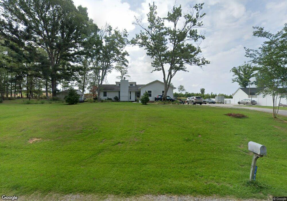
1183 Merribrook Ln Lancaster, SC 29720
Estimated Value: $250,071 - $289,000
--
Bed
2
Baths
1,558
Sq Ft
$172/Sq Ft
Est. Value
About This Home
This home is located at 1183 Merribrook Ln, Lancaster, SC 29720 and is currently estimated at $268,018, approximately $172 per square foot. 1183 Merribrook Ln is a home located in Lancaster County with nearby schools including McDonald Green Elementary School, South Middle School, and Lancaster High School.
Ownership History
Date
Name
Owned For
Owner Type
Purchase Details
Closed on
Jan 4, 2022
Sold by
Turner Jack L and Turner Kathy H
Bought by
Turner Jack L and Turner Kathy H
Current Estimated Value
Home Financials for this Owner
Home Financials are based on the most recent Mortgage that was taken out on this home.
Original Mortgage
$136,000
Outstanding Balance
$125,357
Interest Rate
3.12%
Mortgage Type
New Conventional
Estimated Equity
$142,661
Create a Home Valuation Report for This Property
The Home Valuation Report is an in-depth analysis detailing your home's value as well as a comparison with similar homes in the area
Home Values in the Area
Average Home Value in this Area
Purchase History
| Date | Buyer | Sale Price | Title Company |
|---|---|---|---|
| Turner Jack L | -- | None Available | |
| Turner Jack L | -- | Reynolds Tracey |
Source: Public Records
Mortgage History
| Date | Status | Borrower | Loan Amount |
|---|---|---|---|
| Open | Turner Jack L | $136,000 | |
| Closed | Turner Jack L | $136,000 |
Source: Public Records
Tax History Compared to Growth
Tax History
| Year | Tax Paid | Tax Assessment Tax Assessment Total Assessment is a certain percentage of the fair market value that is determined by local assessors to be the total taxable value of land and additions on the property. | Land | Improvement |
|---|---|---|---|---|
| 2024 | $663 | $6,324 | $688 | $5,636 |
| 2023 | $0 | $9,486 | $1,032 | $8,454 |
| 2022 | $658 | $6,324 | $688 | $5,636 |
| 2021 | $644 | $6,324 | $688 | $5,636 |
| 2020 | $616 | $6,020 | $688 | $5,332 |
| 2019 | $2,036 | $6,020 | $688 | $5,332 |
| 2018 | $1,959 | $6,020 | $688 | $5,332 |
| 2017 | $902 | $0 | $0 | $0 |
| 2016 | $879 | $0 | $0 | $0 |
| 2015 | $709 | $0 | $0 | $0 |
| 2014 | $709 | $0 | $0 | $0 |
| 2013 | $709 | $0 | $0 | $0 |
Source: Public Records
Map
Nearby Homes
- 1156 Suttle Rd
- 3017 Lynwood Dr
- 2736 Kirkover Dr
- 2540 Heather Ln
- 5064 Sedgefield Dr
- 5142 Sedgefield Dr
- 1976 McIlwain Rd
- 2484 Douglas Rd
- 2744 Lyndell Way
- 2599 State Road S-29-503
- 3347 Silver Fox Cir
- 4131 Doe Ridge Ln
- 2526 Country Club Dr
- 2417 Lynwood Dr
- 2470 Country Club Dr
- 900 Providence Rd
- 2200 Florence Cir
- 1.18 acres McIlwain Rd
- 2795 Cane Mill Rd
- 2500 Robert H Kirk Rd
- 1201 Merribrook Ln
- 1160 Merribrook Ln
- 1155 Merribrook Ln
- 0000 Merribrook Ln Unit 31-32
- 0000 Merribrook Ln Unit 25
- 0000 Merribrook Ln Unit 32-33
- 0000 Merribrook Ln Unit 29-30
- 1152 Merribrook Ln
- 1225 Merribrook Ln
- 1139 Merribrook Ln
- 022 Wrenwood Dr
- 021 Wrenwood Dr
- Lot 15E Woodland Hills
- 0000 Merribrook Rd Unit 26-27
- 1153 Wrenwood Dr
- 1123 Merribrook Ln
- 1225 Wrenwood Dr
- 1235 Wrenwood Dr
- 1202 Wrenwood Dr
- 1224 Wrenwood Dr