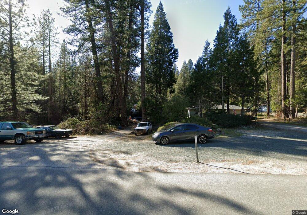
11833 Colfax Hwy Grass Valley, CA 95945
Estimated Value: $277,642 - $410,000
2
Beds
1
Bath
1,196
Sq Ft
$279/Sq Ft
Est. Value
About This Home
This home is located at 11833 Colfax Hwy, Grass Valley, CA 95945 and is currently estimated at $333,911, approximately $279 per square foot. 11833 Colfax Hwy is a home located in Nevada County with nearby schools including Union Hill Elementary School, Grass Valley Charter School, and Mount St. Mary's Academy.
Ownership History
Date
Name
Owned For
Owner Type
Purchase Details
Closed on
Apr 10, 2018
Sold by
Bumam Minnie J and Robertson Joleen
Bought by
Robertson Joleen
Current Estimated Value
Purchase Details
Closed on
Sep 21, 2007
Sold by
Burnam Murrell W and Burnam Minnie J
Bought by
Burnam Murrell W and Burnam Minnie J
Purchase Details
Closed on
Nov 9, 2000
Sold by
Cole Lorraine and Hostetler Scott Alan
Bought by
Burnam Murrell W and Burnam Minnie J
Purchase Details
Closed on
Jul 14, 1998
Sold by
Burnam Murrell W
Bought by
Burnam Murrell W and Burnam Minnie J
Create a Home Valuation Report for This Property
The Home Valuation Report is an in-depth analysis detailing your home's value as well as a comparison with similar homes in the area
Home Values in the Area
Average Home Value in this Area
Purchase History
| Date | Buyer | Sale Price | Title Company |
|---|---|---|---|
| Robertson Joleen | -- | None Available | |
| Burnam Minnie W | -- | None Available | |
| Burnam Murrell W | -- | None Available | |
| Burnam Murrell W | -- | -- | |
| Burnam Murrell W | -- | -- |
Source: Public Records
Tax History Compared to Growth
Tax History
| Year | Tax Paid | Tax Assessment Tax Assessment Total Assessment is a certain percentage of the fair market value that is determined by local assessors to be the total taxable value of land and additions on the property. | Land | Improvement |
|---|---|---|---|---|
| 2025 | $536 | $31,147 | $9,342 | $21,805 |
| 2024 | $524 | $30,537 | $9,159 | $21,378 |
| 2023 | $524 | $29,939 | $8,980 | $20,959 |
| 2022 | $511 | $29,353 | $8,804 | $20,549 |
| 2021 | $482 | $28,779 | $8,632 | $20,147 |
| 2020 | $476 | $28,485 | $8,544 | $19,941 |
| 2019 | $468 | $27,927 | $8,377 | $19,550 |
| 2018 | $383 | $27,380 | $8,213 | $19,167 |
| 2017 | $374 | $26,844 | $8,052 | $18,792 |
| 2016 | $363 | $26,319 | $7,895 | $18,424 |
| 2015 | $357 | $25,925 | $7,777 | $18,148 |
| 2014 | $353 | $25,419 | $7,625 | $17,794 |
Source: Public Records
Map
Nearby Homes
- 11684 Sunrise Ln
- 13065 Somerset Dr
- 12968 Somerset Dr
- 13028 Somerset Dr
- 10624 Silver Way
- 13004 Somerset Dr
- 11070 Brunswick Dr
- 10833 Gold Hill Dr
- 11355 Brunswick Dr
- 11047 Brunswick Dr
- 0 Cedar Ridge Dr
- 12195-12233 E Bennett Rd
- 13287 Rattlesnake Rd
- 13821 Golden Lily Ct
- 10444 Partridge Rd
- 12933 Elk Ln
- 13845 Golden Lily Ct
- 12401 Old Mine Rd
- 12465 New Brunswick Ct
- 127 E Empire St