Estimated Value: $266,000 - $340,000
3
Beds
4
Baths
1,852
Sq Ft
$160/Sq Ft
Est. Value
About This Home
This home is located at 1184 215th St, Jesup, IA 50648 and is currently estimated at $295,430, approximately $159 per square foot. 1184 215th St is a home located in Buchanan County with nearby schools including Jesup Elementary School, Jesup Middle School, and Jesup High School.
Ownership History
Date
Name
Owned For
Owner Type
Purchase Details
Closed on
Mar 18, 2015
Sold by
Hersom Gary J and Hersom Kathy J
Bought by
Bell Clinton J and Bell Kathleen A
Current Estimated Value
Home Financials for this Owner
Home Financials are based on the most recent Mortgage that was taken out on this home.
Original Mortgage
$75,652
Interest Rate
3.56%
Mortgage Type
Purchase Money Mortgage
Create a Home Valuation Report for This Property
The Home Valuation Report is an in-depth analysis detailing your home's value as well as a comparison with similar homes in the area
Home Values in the Area
Average Home Value in this Area
Purchase History
| Date | Buyer | Sale Price | Title Company |
|---|---|---|---|
| Bell Clinton J | $87,000 | None Available |
Source: Public Records
Mortgage History
| Date | Status | Borrower | Loan Amount |
|---|---|---|---|
| Open | Trumbauer Andrew R | $245,000 | |
| Closed | Trumbauer Andrew R | $95,000 | |
| Closed | Trumbauer Melissa J | $34,900 | |
| Closed | Bell Clinton J | $75,652 |
Source: Public Records
Tax History Compared to Growth
Tax History
| Year | Tax Paid | Tax Assessment Tax Assessment Total Assessment is a certain percentage of the fair market value that is determined by local assessors to be the total taxable value of land and additions on the property. | Land | Improvement |
|---|---|---|---|---|
| 2024 | $3,566 | $280,380 | $29,710 | $250,670 |
| 2023 | $3,566 | $280,380 | $29,710 | $250,670 |
| 2022 | $2,202 | $230,120 | $23,700 | $206,420 |
| 2021 | $2,182 | $153,320 | $23,700 | $129,620 |
| 2020 | $2,182 | $141,040 | $21,530 | $119,510 |
| 2019 | $2,142 | $141,040 | $21,530 | $119,510 |
| 2018 | $1,810 | $137,880 | $21,530 | $116,350 |
| 2017 | $1,692 | $137,880 | $21,530 | $116,350 |
| 2016 | $1,640 | $130,100 | $15,470 | $114,630 |
| 2015 | $1,640 | $130,100 | $15,470 | $114,630 |
| 2014 | $1,686 | $130,100 | $15,470 | $114,630 |
Source: Public Records
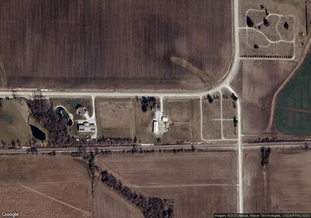
Map
Nearby Homes
- 1134 Church St
- 1341 12th St
- 1217 220th St
- 1209 220th St
- 715 Main St
- 845 Duroe St
- 0 Benson Ridge Addition Unit Lot 7 20241370
- 0 Benson Ridge Addition Unit Lot 2 20224979
- 0 Benson Ridge Addition Unit Lot 1 20224978
- 0 Main St
- Lot 4 Benson Shady Grove Ave
- Lot 2 Benson Shady Grove Ave
- Lot 1 Benson Shady Grove Ave
- 244 7th St
- 324 Douglas St
- 1124 3rd St
- 414 3rd St
- 334 Limerick Dr
- Lot 6 Dalton St
- Lot 9 Dalton St
- 1184 215th St
- 1172 215th St
- 1158 215th St
- 2114 Carter Ave
- 1150 215th St
- 1151 215th St
- 1274 Hawley St
- 1275 Hawley St
- 1274 Ainsworth St
- 1256 Hawley St
- 1265 Hawley St
- 1264 Ainsworth St
- 1255 Hawley St
- 1254 Ainsworth St
- 1245 Hawley St
- 1244 Ainsworth St
- 1234 Hawley St
- 1235 Hawley St
- 1234 Ainsworth St
- 1225 Hawley St