1184 Osborn Ln Saint Clair, MO 63077
Estimated Value: $485,000 - $521,350
4
Beds
3
Baths
2,078
Sq Ft
$245/Sq Ft
Est. Value
About This Home
This home is located at 1184 Osborn Ln, Saint Clair, MO 63077 and is currently estimated at $509,117, approximately $245 per square foot. 1184 Osborn Ln is a home located in Franklin County with nearby schools including St. Clair Elementary School, Edgar Murray Elementary School, and St. Clair Junior High School.
Ownership History
Date
Name
Owned For
Owner Type
Purchase Details
Closed on
Oct 27, 2011
Sold by
Shackelford Julia and Shackelford Julia Erika
Bought by
Sills Douglas B
Current Estimated Value
Home Financials for this Owner
Home Financials are based on the most recent Mortgage that was taken out on this home.
Original Mortgage
$218,522
Outstanding Balance
$148,782
Interest Rate
4.14%
Mortgage Type
VA
Estimated Equity
$360,335
Purchase Details
Closed on
Jun 21, 2007
Sold by
Thompson Larry S and Thompson Peggy J
Bought by
Shackelford James and Shackelford Julia
Home Financials for this Owner
Home Financials are based on the most recent Mortgage that was taken out on this home.
Original Mortgage
$238,500
Interest Rate
6.16%
Mortgage Type
New Conventional
Create a Home Valuation Report for This Property
The Home Valuation Report is an in-depth analysis detailing your home's value as well as a comparison with similar homes in the area
Purchase History
| Date | Buyer | Sale Price | Title Company |
|---|---|---|---|
| Sills Douglas B | $211,542 | None Available | |
| Shackelford James | -- | None Available |
Source: Public Records
Mortgage History
| Date | Status | Borrower | Loan Amount |
|---|---|---|---|
| Open | Sills Douglas B | $218,522 | |
| Previous Owner | Shackelford James | $238,500 |
Source: Public Records
Tax History
| Year | Tax Paid | Tax Assessment Tax Assessment Total Assessment is a certain percentage of the fair market value that is determined by local assessors to be the total taxable value of land and additions on the property. | Land | Improvement |
|---|---|---|---|---|
| 2025 | $2,475 | $45,844 | $0 | $0 |
| 2024 | $2,475 | $41,245 | $0 | $0 |
| 2023 | $2,249 | $41,245 | $0 | $0 |
| 2022 | $2,123 | $38,802 | $0 | $0 |
| 2021 | $2,119 | $38,802 | $0 | $0 |
| 2020 | $2,003 | $35,180 | $0 | $0 |
| 2019 | $1,985 | $35,180 | $0 | $0 |
| 2018 | $1,935 | $33,860 | $0 | $0 |
| 2017 | $1,933 | $33,860 | $0 | $0 |
| 2016 | $1,723 | $30,130 | $0 | $0 |
| 2015 | $1,582 | $30,130 | $0 | $0 |
| 2014 | $1,664 | $31,614 | $0 | $0 |
Source: Public Records
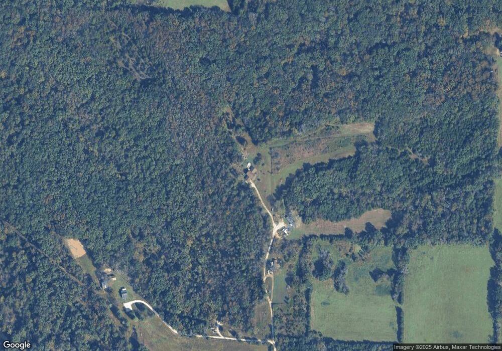
Map
Nearby Homes
- 3136 Mill Hill Rd
- Parkway Dr
- 7816 Rye Creek Rd
- 4412 N Virginia Mines Rd
- 4462 N Virginia Mines Rd
- 4578 N Virginia Mines Rd
- 622 Elk Run
- 2281 State Route N
- 2227 State Route N
- 1557 Mill Hill Rd
- 676 Lynn Ln
- 4373 E Linda Ln
- 5199 Highway N
- 0 Old Cove Rd (117 6+ - Acres) Unit MIS26011335
- 0 Old Cove Rd
- o Holtwick Trail
- 0 Gravois Rd Unit 11555468
- 3335 Iron Hill Rd
- 370 Hencken Hollow Ln
- 322 Cart Path Ln
- 1196 Osborn Ln
- 1194 Osborn Ln
- 1190 Osborn Ln
- 1200 Osborn Ln
- 2706 Possum Hollow Rd
- 278 Calebs Run Ln
- 2750 Possum Hollow Rd
- 0 25 Acres - Possum Hollow Rd
- 1215 Cedar Trail
- 2769 Barton Rd
- 2700 Possum Hollow Rd
- 1203 Cedar Trail
- 0 32 9 Acres - Possum Hollow Rd Unit 22040145
- 1200 Cedar Trail
- 2781 Barton Rd
- 2840 Possum Hollow Rd
- 2737 Barton Rd
- 2707 Barton Rd
- 1229 Cedar Trail
- 1155 Ely Rd
Your Personal Tour Guide
Ask me questions while you tour the home.