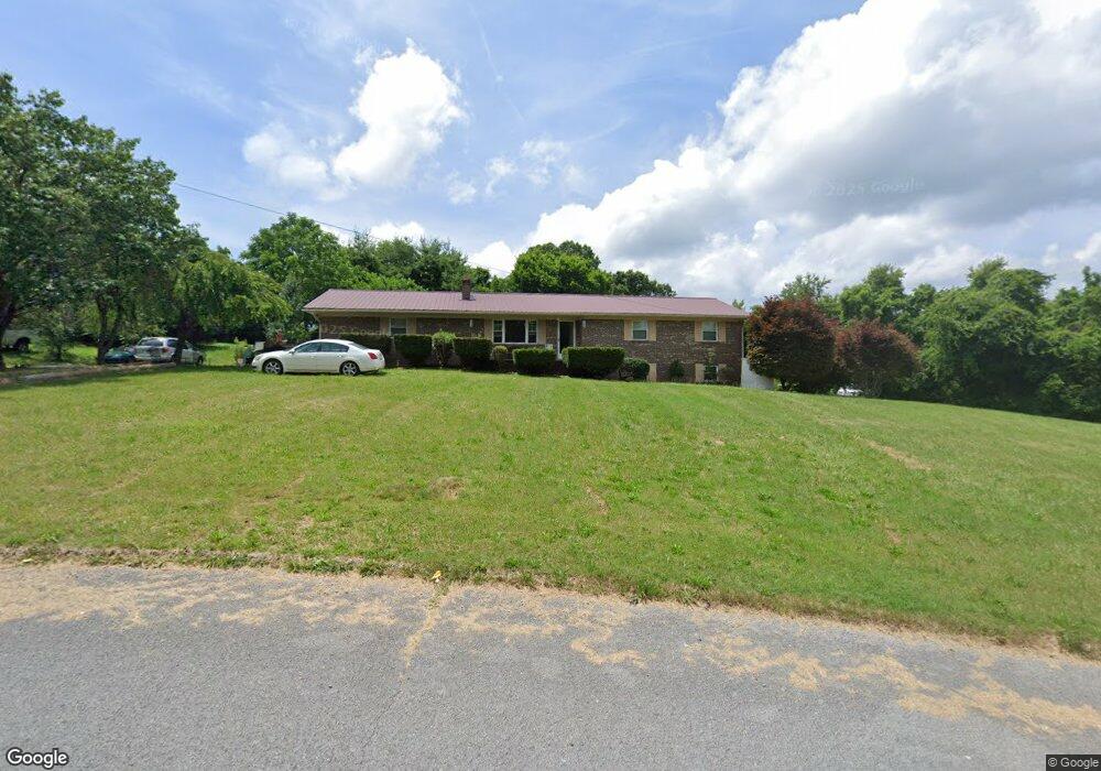
1184 Rowe St New Tazewell, TN 37825
Estimated Value: $149,000 - $265,000
--
Bed
2
Baths
1,306
Sq Ft
$170/Sq Ft
Est. Value
About This Home
This home is located at 1184 Rowe St, New Tazewell, TN 37825 and is currently estimated at $221,535, approximately $169 per square foot. 1184 Rowe St is a home located in Claiborne County.
Ownership History
Date
Name
Owned For
Owner Type
Purchase Details
Closed on
Aug 27, 1996
Sold by
Malone David T and Malone Cathelene
Bought by
Collins William R and Collins Betty
Current Estimated Value
Purchase Details
Closed on
Jul 3, 1991
Bought by
Malone David T and Malone Cathelene
Purchase Details
Closed on
Jun 21, 1991
Bought by
Malone David T and Malone Cathelene
Purchase Details
Closed on
Oct 27, 1986
Purchase Details
Closed on
Jan 1, 1986
Bought by
Bledsoe Kathyrn R
Purchase Details
Closed on
Jan 3, 1976
Purchase Details
Closed on
Jan 2, 1976
Purchase Details
Closed on
Jan 4, 1974
Create a Home Valuation Report for This Property
The Home Valuation Report is an in-depth analysis detailing your home's value as well as a comparison with similar homes in the area
Home Values in the Area
Average Home Value in this Area
Purchase History
| Date | Buyer | Sale Price | Title Company |
|---|---|---|---|
| Collins William R | $96,500 | -- | |
| Malone David T | $5,000 | -- | |
| Malone David T | $72,900 | -- | |
| -- | $100 | -- | |
| Bledsoe Kathyrn R | -- | -- | |
| -- | -- | -- | |
| -- | -- | -- | |
| -- | -- | -- |
Source: Public Records
Tax History Compared to Growth
Tax History
| Year | Tax Paid | Tax Assessment Tax Assessment Total Assessment is a certain percentage of the fair market value that is determined by local assessors to be the total taxable value of land and additions on the property. | Land | Improvement |
|---|---|---|---|---|
| 2024 | $1,066 | $45,550 | $5,625 | $39,925 |
| 2023 | $1,066 | $45,550 | $5,625 | $39,925 |
| 2022 | $911 | $45,550 | $5,625 | $39,925 |
| 2021 | $909 | $35,250 | $5,625 | $29,625 |
| 2020 | $909 | $35,250 | $5,625 | $29,625 |
| 2019 | $909 | $35,250 | $5,625 | $29,625 |
| 2018 | $909 | $35,250 | $5,625 | $29,625 |
| 2017 | $909 | $35,250 | $5,625 | $29,625 |
| 2016 | $982 | $38,050 | $5,700 | $32,350 |
| 2015 | $944 | $38,050 | $5,700 | $32,350 |
| 2014 | $944 | $38,043 | $0 | $0 |
Source: Public Records
Map
Nearby Homes
- 1210 Rowe St
- 1264 Rowe St
- 170 Mallory Dr
- 117 Mallory Dr
- Lot 1 Harmon Rd
- 323 Harmon Rd
- 1029 Rowe St
- 0 Harmon Rd
- 0 Harmon Cir
- 352 Rutherford Dr
- 218 Adair Dr
- 137 Adair Dr
- 216 Mountain Rd
- 306 Mountain Rd
- 0 Cole Hollow Rd
- 346 Bailey Dr
- 196 Poplar Dr
- 411 Cole Hollow Rd
- 275 Grandview Ln
- 510 S Broad St (Commercial 3 9 Acre)