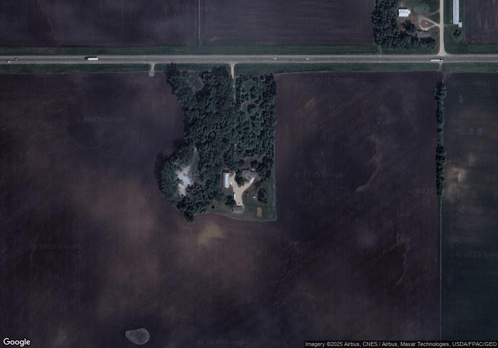
11843 Highway 212 Unit US Glencoe, MN 55336
Estimated Value: $439,000 - $492,009
4
Beds
1
Bath
1,562
Sq Ft
$296/Sq Ft
Est. Value
About This Home
This home is located at 11843 Highway 212 Unit US, Glencoe, MN 55336 and is currently estimated at $462,502, approximately $296 per square foot. 11843 Highway 212 Unit US is a home located in McLeod County with nearby schools including Lincoln Elementary School, Lakeside Elementary School, and Glencoe-Silver Lake Jr. High School.
Ownership History
Date
Name
Owned For
Owner Type
Purchase Details
Closed on
Oct 30, 2018
Sold by
Hansch Darrell R and Hansch Renee L
Bought by
Kamann Shaun J and Kamann Carrie
Current Estimated Value
Home Financials for this Owner
Home Financials are based on the most recent Mortgage that was taken out on this home.
Original Mortgage
$341,100
Outstanding Balance
$299,316
Interest Rate
4.7%
Mortgage Type
New Conventional
Estimated Equity
$163,186
Create a Home Valuation Report for This Property
The Home Valuation Report is an in-depth analysis detailing your home's value as well as a comparison with similar homes in the area
Home Values in the Area
Average Home Value in this Area
Purchase History
| Date | Buyer | Sale Price | Title Company |
|---|---|---|---|
| Kamann Shaun J | $379,000 | Trademark Title |
Source: Public Records
Mortgage History
| Date | Status | Borrower | Loan Amount |
|---|---|---|---|
| Open | Kamann Shaun J | $341,100 |
Source: Public Records
Tax History Compared to Growth
Tax History
| Year | Tax Paid | Tax Assessment Tax Assessment Total Assessment is a certain percentage of the fair market value that is determined by local assessors to be the total taxable value of land and additions on the property. | Land | Improvement |
|---|---|---|---|---|
| 2024 | $3,612 | $437,600 | $184,400 | $253,200 |
| 2023 | $3,288 | $397,700 | $167,500 | $230,200 |
| 2022 | $3,696 | $424,600 | $167,500 | $257,100 |
| 2021 | $3,676 | $365,200 | $140,100 | $225,100 |
| 2020 | $3,292 | $365,200 | $140,100 | $225,100 |
| 2019 | $2,972 | $322,700 | $121,300 | $201,400 |
| 2018 | $2,844 | $0 | $0 | $0 |
| 2017 | $2,176 | $0 | $0 | $0 |
| 2016 | $2,118 | $0 | $0 | $0 |
| 2015 | $1,830 | $0 | $0 | $0 |
| 2014 | -- | $0 | $0 | $0 |
Source: Public Records
Map
Nearby Homes
- 7900 Lace Ave N
- 7900 Lace Ave
- 13198 100th St
- 205 Wacker Dr
- 503 17th St W
- 44139 162nd St
- 105 Hennepin Ave N
- 1207 Desoto Ave N
- 804 Mitchell Ct
- 800 Sumac Ln
- 316 20th St W
- 1407 Desoto Ave N
- 400 Edgewood Dr
- 719 14th St E
- 1724 Ford Ave N
- 1227 11th St E
- 2600 14th St E
- 1521 10th St E
- 16452 90th St
- 1199 E 2nd St