1185 Highway 11 S Social Circle, GA 30025
Estimated Value: $812,000 - $2,336,413
--
Bed
--
Bath
5,410
Sq Ft
$245/Sq Ft
Est. Value
About This Home
This home is located at 1185 Highway 11 S, Social Circle, GA 30025 and is currently estimated at $1,323,138, approximately $244 per square foot. 1185 Highway 11 S is a home with nearby schools including Mansfield Elementary School, Indian Creek Middle School, and Eastside High School.
Create a Home Valuation Report for This Property
The Home Valuation Report is an in-depth analysis detailing your home's value as well as a comparison with similar homes in the area
Home Values in the Area
Average Home Value in this Area
Tax History Compared to Growth
Tax History
| Year | Tax Paid | Tax Assessment Tax Assessment Total Assessment is a certain percentage of the fair market value that is determined by local assessors to be the total taxable value of land and additions on the property. | Land | Improvement |
|---|---|---|---|---|
| 2025 | $9,737 | $729,560 | $366,440 | $363,120 |
| 2024 | $9,224 | $629,760 | $295,960 | $333,800 |
| 2023 | $9,036 | $572,560 | $267,760 | $304,800 |
| 2022 | $7,756 | $459,360 | $197,280 | $262,080 |
| 2021 | $8,479 | $416,400 | $157,840 | $258,560 |
| 2020 | $7,801 | $369,480 | $157,840 | $211,640 |
| 2019 | $7,704 | $363,560 | $157,840 | $205,720 |
| 2018 | $7,523 | $357,240 | $157,840 | $199,400 |
| 2017 | $7,694 | $357,320 | $152,200 | $205,120 |
| 2016 | $7,579 | $305,680 | $100,560 | $205,120 |
| 2015 | $7,308 | $297,720 | $99,520 | $198,200 |
| 2014 | $7,199 | $288,400 | $0 | $0 |
Source: Public Records
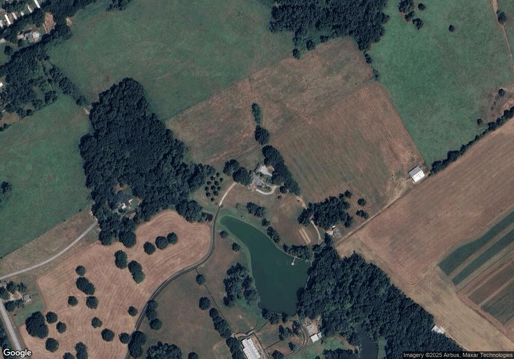
Map
Nearby Homes
- 1530 Highway 11 S
- 788 S Hwy 11
- 2071 Highway 142 E
- 1966 Georgia 142
- 1966 Highway 142 E
- 10 Nicklaus Cir
- 1500 Pine Forest Rd
- 180 Cooper Rd
- 147 Cobb Rd
- 995 Hodges Cir
- 1581 Hodges Cir
- 175 Ewing Dr
- 220 Nicklaus Cir
- 225 Ewing Dr
- Tract6 Adams Rd
- 1187 Dixie Rd
- 95 Dixie Trail
- 925 Cooper Rd
- 45 Fiddle Creek
- 145 Fiddle Creek Unit 12
- 1133 Highway 11 S
- 1121 Highway 11 S
- 1299 Georgia 11
- 1015 Highway 11 S
- 991 Highway 11 S
- 1259 Highway 11 S
- 989 State Highway 11
- 951 Hwy 11 S
- 480 Adams Rd
- 730 Adams Cir
- 784 Adams Cir
- 880 S Highway 11 S
- 812 Adams Cir
- 635 Adams Cir
- 741 Adams Cir
- 365 Hodges Cir
- 763 Adams Cir Unit 2
- 15 Willow Dr
- 866 Adams Cir
- 916 Adams Cir