11852 Union Rd Mc Louth, KS 66054
Estimated Value: $268,000 - $953,958
3
Beds
3
Baths
1,737
Sq Ft
$352/Sq Ft
Est. Value
About This Home
This home is located at 11852 Union Rd, Mc Louth, KS 66054 and is currently estimated at $610,979, approximately $351 per square foot. 11852 Union Rd is a home located in Jefferson County with nearby schools including McLouth Elementary School, McLouth Middle School, and McLouth High School.
Ownership History
Date
Name
Owned For
Owner Type
Purchase Details
Closed on
Sep 1, 2003
Bought by
Daniels Brant J
Current Estimated Value
Home Financials for this Owner
Home Financials are based on the most recent Mortgage that was taken out on this home.
Original Mortgage
$50,000
Outstanding Balance
$1,037
Interest Rate
6.32%
Mortgage Type
New Conventional
Estimated Equity
$609,942
Create a Home Valuation Report for This Property
The Home Valuation Report is an in-depth analysis detailing your home's value as well as a comparison with similar homes in the area
Home Values in the Area
Average Home Value in this Area
Purchase History
| Date | Buyer | Sale Price | Title Company |
|---|---|---|---|
| Daniels Brant J | $114,000 | -- |
Source: Public Records
Mortgage History
| Date | Status | Borrower | Loan Amount |
|---|---|---|---|
| Open | Daniels Brant J | $50,000 |
Source: Public Records
Tax History Compared to Growth
Tax History
| Year | Tax Paid | Tax Assessment Tax Assessment Total Assessment is a certain percentage of the fair market value that is determined by local assessors to be the total taxable value of land and additions on the property. | Land | Improvement |
|---|---|---|---|---|
| 2025 | $12,730 | $115,980 | $17,882 | $98,098 |
| 2024 | $12,558 | $104,180 | $5,985 | $98,195 |
| 2023 | $11,469 | $94,774 | $5,278 | $89,496 |
| 2022 | $5,451 | $82,056 | $4,822 | $77,234 |
| 2021 | $5,451 | $43,032 | $4,633 | $38,399 |
| 2020 | $5,451 | $42,380 | $4,316 | $38,064 |
| 2019 | $5,438 | $41,890 | $4,159 | $37,731 |
| 2018 | $1,020 | $7,930 | $2,979 | $4,951 |
| 2017 | $6,652 | $14,842 | $3,427 | $11,415 |
| 2016 | $2,013 | $14,743 | $3,400 | $11,343 |
| 2015 | -- | $16,528 | $5,273 | $11,255 |
| 2014 | -- | $16,359 | $7,024 | $9,335 |
Source: Public Records
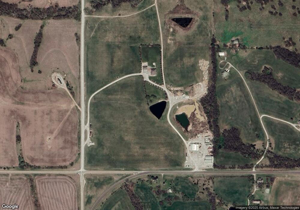
Map
Nearby Homes
- 0000 Highway 92
- 10438 Kansas 92
- 10804 Wellman Rd
- 28846 251st St
- 0000 251st St
- 15270 Union Rd
- 00000 Bauserman Rd
- 206 E Lucy St
- 16010 Fairview Rd
- 309 W Lake St
- 0000 92 Hwy
- 509 S Fredrick St
- 26696 235th St
- 23491 251st St
- Lot 4 Ackerland Rd
- 106 Winchester St
- 16468 Kansas 16
- Lot 9 Ackerland Rd
- 208 4th St
- 104 4th St
- 19454 K92 Hwy
- 19360 K92 Hwy
- 19311 K92 Hwy
- 19455 K92 Hwy
- 19456 K92 Hwy
- 12194 Union Rd
- 12243 Union Rd
- 11635 N K92 Hwy
- 11635 N K-92
- 18961 118th St
- 19675 K92 Hwy
- 11551 N K92 Hwy
- 11551 N K92 Hwy Unit 204 +/- Acres
- 18890 118th St
- 18719 K16 Hwy
- 18841 118th St
- 12452 Union Rd
- 18768 118th St
- 19858 K92 Hwy
- 19855 K92 Hwy