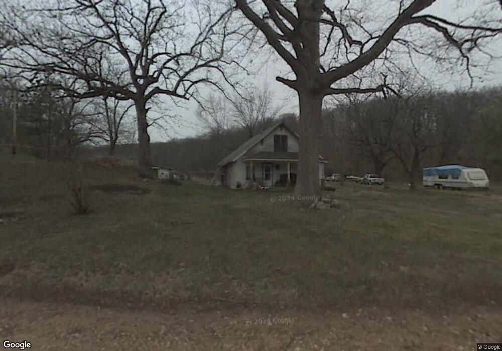
11853 W Tanyard Hollow Rd Bentonville, AR 72712
Estimated Value: $297,341 - $730,000
--
Bed
--
Bath
1,344
Sq Ft
$361/Sq Ft
Est. Value
About This Home
This home is located at 11853 W Tanyard Hollow Rd, Bentonville, AR 72712 and is currently estimated at $484,835, approximately $360 per square foot. 11853 W Tanyard Hollow Rd is a home with nearby schools including Thomas Jefferson Elementary School, Ardis Ann Middle School, and Lincoln Junior High School.
Ownership History
Date
Name
Owned For
Owner Type
Purchase Details
Closed on
Dec 14, 2007
Sold by
Free David R and Free Shari J
Bought by
Arkansas State Highway Commission
Current Estimated Value
Purchase Details
Closed on
Mar 31, 1993
Bought by
Free
Purchase Details
Closed on
Apr 24, 1990
Bought by
Free Etal (1/2)
Purchase Details
Closed on
Sep 6, 1988
Bought by
Johnson
Purchase Details
Closed on
May 24, 1988
Bought by
Joe King Dec'D
Create a Home Valuation Report for This Property
The Home Valuation Report is an in-depth analysis detailing your home's value as well as a comparison with similar homes in the area
Home Values in the Area
Average Home Value in this Area
Purchase History
| Date | Buyer | Sale Price | Title Company |
|---|---|---|---|
| Arkansas State Highway Commission | $347,600 | Rtc | |
| Free | -- | -- | |
| Free Etal (1/2) | -- | -- | |
| Free Etal (1/2) | $69,000 | -- | |
| Johnson | $64,000 | -- | |
| Joe King Dec'D | -- | -- |
Source: Public Records
Tax History Compared to Growth
Tax History
| Year | Tax Paid | Tax Assessment Tax Assessment Total Assessment is a certain percentage of the fair market value that is determined by local assessors to be the total taxable value of land and additions on the property. | Land | Improvement |
|---|---|---|---|---|
| 2025 | $1,131 | $34,858 | $19,513 | $15,345 |
| 2024 | $1,038 | $34,858 | $19,513 | $15,345 |
| 2023 | $944 | $19,950 | $8,480 | $11,470 |
| 2022 | $899 | $19,950 | $8,480 | $11,470 |
| 2021 | $822 | $19,950 | $8,480 | $11,470 |
| 2020 | $755 | $12,890 | $5,450 | $7,440 |
| 2019 | $755 | $12,890 | $5,450 | $7,440 |
| 2018 | $755 | $12,890 | $5,450 | $7,440 |
| 2017 | $688 | $12,890 | $5,450 | $7,440 |
| 2016 | $688 | $12,890 | $5,450 | $7,440 |
| 2015 | $621 | $11,030 | $2,850 | $8,180 |
| 2014 | $625 | $11,030 | $2,850 | $8,180 |
Source: Public Records
Map
Nearby Homes
- 7 Rearsby Ln
- 0 Midhurst Ln Unit 1326303
- 9 Hexham Dr
- 5 Edgware Ln
- 27 Topcliffe Ln
- 8 Topcliffe Ln
- 6 Swinbrook Ln
- 112 Ingleborough Dr
- Lot 30 Stoneleigh Ln
- 12188 Bedrock Ln
- 3 Stoneleigh Ln
- 0 Stoneleigh Ln Unit 1282409
- 0 Leland Cir
- 12136 Bedrock Ln
- 29 Halford Ln
- 11982 Arkansas 72
- Lot 27 of Block 3 Pylle Ln
- 3 Pylle Ln
- Lot 22 of Block 2 Burbage Ln
- 3760 Bitterroot St
- TBD Tracts 1 & 2 W Tanyard Hollow Rd
- TBD Tract 2 W Tanyard Hollow Rd
- 65.52Ac Deer Dr
- 12974 W Tanyard Hollow Rd
- 12203 Bedrock Ln
- 0 Deer Dr
- 11988 Deer Dr
- 8 Rearsby Ln
- 74 Ingleborough Dr
- 3 Rearsby Ln
- Lot 5 Block 9 Rearsby Ln
- Lot 6 Block 7 Ludborough Ln
- Lot 3 Ludborough Ln
- 0 Ludborough Ln Unit 718497
- 0 Ludborough Ln Unit 1130764
- 0 Rearsby Ln Unit 698163
- 0 Rearsby Ln Unit 1002774
- 0 Rearsby Ln Unit 1006925
- 28 Hexham Dr
- 0 Midhurst Ln Unit 1251557