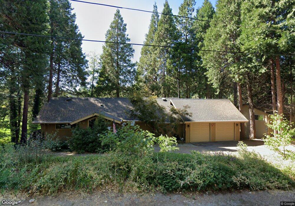
1186 Brae Burn Dr Arnold, CA 95223
Estimated Value: $558,727 - $595,000
3
Beds
3
Baths
2,180
Sq Ft
$267/Sq Ft
Est. Value
About This Home
This home is located at 1186 Brae Burn Dr, Arnold, CA 95223 and is currently estimated at $581,682, approximately $266 per square foot. 1186 Brae Burn Dr is a home with nearby schools including Bret Harte Union High School.
Ownership History
Date
Name
Owned For
Owner Type
Purchase Details
Closed on
Nov 20, 2023
Sold by
Fox Randy
Bought by
Randal Gene Fox 2023 Revocable Living Trust and Fox
Current Estimated Value
Purchase Details
Closed on
Jan 31, 2014
Sold by
Fox Annette
Bought by
Fox Randy
Purchase Details
Closed on
Jun 25, 2001
Sold by
Macdonald Herbert J and Macdonald Patricia M
Bought by
Fox Randy and Fox Annette
Home Financials for this Owner
Home Financials are based on the most recent Mortgage that was taken out on this home.
Original Mortgage
$300,000
Interest Rate
7.14%
Create a Home Valuation Report for This Property
The Home Valuation Report is an in-depth analysis detailing your home's value as well as a comparison with similar homes in the area
Home Values in the Area
Average Home Value in this Area
Purchase History
| Date | Buyer | Sale Price | Title Company |
|---|---|---|---|
| Randal Gene Fox 2023 Revocable Living Trust | -- | None Listed On Document | |
| Fox Randy | -- | None Available | |
| Fox Randy | $375,000 | The Sterling Title Company |
Source: Public Records
Mortgage History
| Date | Status | Borrower | Loan Amount |
|---|---|---|---|
| Previous Owner | Fox Randy | $300,000 |
Source: Public Records
Tax History
| Year | Tax Paid | Tax Assessment Tax Assessment Total Assessment is a certain percentage of the fair market value that is determined by local assessors to be the total taxable value of land and additions on the property. | Land | Improvement |
|---|---|---|---|---|
| 2025 | $6,542 | $565,046 | $120,536 | $444,510 |
| 2023 | $6,436 | $543,106 | $115,856 | $427,250 |
| 2022 | $6,186 | $532,458 | $113,585 | $418,873 |
| 2021 | $5,730 | $483,000 | $70,000 | $413,000 |
| 2020 | $5,260 | $441,000 | $70,000 | $371,000 |
| 2019 | $5,293 | $441,000 | $70,000 | $371,000 |
| 2018 | $5,125 | $441,000 | $70,000 | $371,000 |
| 2017 | $4,627 | $399,000 | $70,000 | $329,000 |
| 2016 | $4,356 | $368,000 | $70,000 | $298,000 |
| 2015 | -- | $368,000 | $70,000 | $298,000 |
| 2014 | -- | $357,000 | $70,000 | $287,000 |
Source: Public Records
Map
Nearby Homes
- 1109 Wawona Way
- 729 Dawyn Dr
- 1376 Meadow Dr
- 485 Moran Rd
- 588 Blue Lake Springs Dr
- 2245 Castlewood Ln
- 459 Dean Way
- 1955 Seminole Way
- 1800 Medina Dr
- 1206 Greensboro Way
- 1578 Gloria Dr
- 2418 Meadow Dr
- 923 Bear Run Way
- 1051 Greensboro Way
- 1262 Pebble Beach Way
- 210 David Lee Rd
- 845 Honey Ct
- 1856 Anna Lee Way
- 167 Linda Dr
- 1964 Belmont Way
- 1176 Brae Burn Dr
- 1204 Brae Burn Dr
- 1222 Brae Burn Dr
- 1160 Brae Burn Dr
- 1177 Brae Burn Dr
- 1854 Meadow Dr
- 1159 Brae Burn Dr
- 1876 Meadow Dr
- 1148 Brea Burn Dr
- 1141 Brae Burn Dr
- 1826 Meadow Dr
- 1134 Brae Burn Dr
- 1869 Meadow Dr
- 1879 Meadow Dr
- 1121 E Brae Burn Dr
- 1121 E Brae Burn Dr Unit B
- 1906 Meadow Dr
- 1156 Cypress Point Dr
- 1212 Cypress Point Dr
- 1118 Brae Burn Dr
Your Personal Tour Guide
Ask me questions while you tour the home.