1187 Lake Point Dr Bigfork, MT 59911
Estimated Value: $1,195,000 - $1,425,000
3
Beds
5
Baths
3,100
Sq Ft
$420/Sq Ft
Est. Value
About This Home
This home is located at 1187 Lake Point Dr, Bigfork, MT 59911 and is currently estimated at $1,302,175, approximately $420 per square foot. 1187 Lake Point Dr is a home located in Flathead County with nearby schools including Bigfork Elementary School, Bigfork Middle School, and Bigfork High School.
Ownership History
Date
Name
Owned For
Owner Type
Purchase Details
Closed on
Feb 26, 2025
Sold by
Fauerso Steven E and Fauerso Steven E
Bought by
Bush Family Trust and Bush
Current Estimated Value
Purchase Details
Closed on
Oct 17, 2024
Sold by
Fauerso Steven E
Bought by
Steven E Fauerso Revocable Inter-Vivos Trust and Fauerso
Purchase Details
Closed on
Oct 25, 2005
Sold by
Rocky Mountain Recreational Communities
Bought by
Fauerso Steven E
Home Financials for this Owner
Home Financials are based on the most recent Mortgage that was taken out on this home.
Original Mortgage
$179,100
Interest Rate
5.9%
Mortgage Type
Purchase Money Mortgage
Create a Home Valuation Report for This Property
The Home Valuation Report is an in-depth analysis detailing your home's value as well as a comparison with similar homes in the area
Home Values in the Area
Average Home Value in this Area
Purchase History
| Date | Buyer | Sale Price | Title Company |
|---|---|---|---|
| Bush Family Trust | -- | None Listed On Document | |
| Steven E Fauerso Revocable Inter-Vivos Trust | -- | None Listed On Document | |
| Fauerso Steven E | -- | Alliance Title |
Source: Public Records
Mortgage History
| Date | Status | Borrower | Loan Amount |
|---|---|---|---|
| Previous Owner | Fauerso Steven E | $179,100 |
Source: Public Records
Tax History
| Year | Tax Paid | Tax Assessment Tax Assessment Total Assessment is a certain percentage of the fair market value that is determined by local assessors to be the total taxable value of land and additions on the property. | Land | Improvement |
|---|---|---|---|---|
| 2025 | $4,631 | $1,144,200 | $0 | $0 |
| 2024 | $4,628 | $829,200 | $0 | $0 |
| 2023 | $4,654 | $829,200 | $0 | $0 |
| 2022 | $5,341 | $682,600 | $0 | $0 |
| 2021 | $5,367 | $682,600 | $0 | $0 |
| 2020 | $5,133 | $635,900 | $0 | $0 |
| 2019 | $4,950 | $635,900 | $0 | $0 |
| 2018 | $5,047 | $617,000 | $0 | $0 |
| 2017 | $4,745 | $617,000 | $0 | $0 |
| 2016 | $4,890 | $616,500 | $0 | $0 |
| 2015 | $4,549 | $616,500 | $0 | $0 |
| 2014 | $5,205 | $425,749 | $0 | $0 |
Source: Public Records
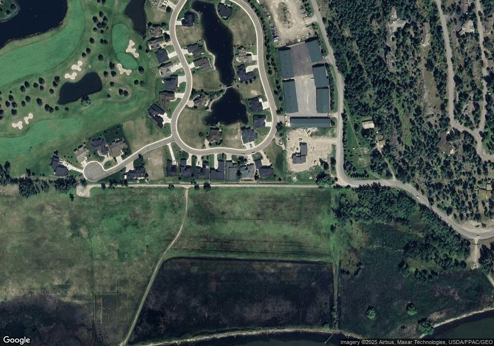
Map
Nearby Homes
- 1114 Lake Pointe Dr
- 50 Lake Pointe Way
- 1001 Lake Pointe Dr
- 39 Golf Terrace Unit 5
- 94 Golf Terrace
- 73 Golf Terrace
- 68 Bay Harbor Dr
- 2036 Marina Ct
- 2084 Marina Ct
- 623 Mill Pond Place
- A 33 Eagle Bend Yacht Harbor 44'
- 147 Bjork Dr
- NHN Eagle Bend Dr
- 19 Crossbuck Trail
- 151 Bjork Dr
- 266 Eagle Bend Dr
- 20 Marina Way
- 175 Aerie Place
- 87 Rock Ridge Way
- 108 Golden Bear Dr
- 1187 Lake Pointe Dr
- 1171 Lake Pointe Dr
- 1203 Lake Pointe Dr
- 1171 Lake Point Dr
- 1219 Lake Point Dr
- 1204 Lake Point Dr
- 1204 Lake Pointe Dr
- 1235 Lake Point Dr
- 1220 Lake Pointe Dr
- 1220 Lake Point Dr
- 1146 Lake Point Dr
- 1146 Lake Pointe Dr
- 1251 Lake Pointe Dr
- 500 Holt Dr
- 1258 Lake Point Dr
- 1130 Lake Point Dr Unit Lot 35
- 1130 Lake Pointe Dr
- 1267 Lake Pointe Dr
- 1290 Lake Point Dr
- 1290 Lake Pointe Dr
Your Personal Tour Guide
Ask me questions while you tour the home.