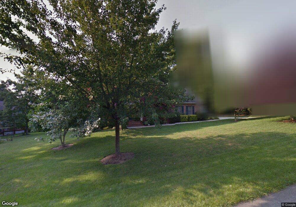
1187 Shadow Peak Rd Forest, VA 24551
Estimated Value: $542,000 - $573,000
4
Beds
4
Baths
2,414
Sq Ft
$230/Sq Ft
Est. Value
About This Home
This home is located at 1187 Shadow Peak Rd, Forest, VA 24551 and is currently estimated at $554,790, approximately $229 per square foot. 1187 Shadow Peak Rd is a home located in Bedford County with nearby schools including Forest Elementary School, Forest Middle School, and Jefferson Forest High School.
Ownership History
Date
Name
Owned For
Owner Type
Purchase Details
Closed on
May 18, 2007
Sold by
Wells Fargo Bank Co
Bought by
Wells Fargo Bank Co
Current Estimated Value
Home Financials for this Owner
Home Financials are based on the most recent Mortgage that was taken out on this home.
Original Mortgage
$240,000
Interest Rate
6.7%
Mortgage Type
New Conventional
Create a Home Valuation Report for This Property
The Home Valuation Report is an in-depth analysis detailing your home's value as well as a comparison with similar homes in the area
Home Values in the Area
Average Home Value in this Area
Purchase History
| Date | Buyer | Sale Price | Title Company |
|---|---|---|---|
| Wells Fargo Bank Co | $359,000 | None Available |
Source: Public Records
Mortgage History
| Date | Status | Borrower | Loan Amount |
|---|---|---|---|
| Previous Owner | Wells Fargo Bank Co | $240,000 |
Source: Public Records
Tax History
| Year | Tax Paid | Tax Assessment Tax Assessment Total Assessment is a certain percentage of the fair market value that is determined by local assessors to be the total taxable value of land and additions on the property. | Land | Improvement |
|---|---|---|---|---|
| 2025 | $1,848 | $450,700 | $75,000 | $375,700 |
| 2024 | $1,848 | $450,700 | $75,000 | $375,700 |
| 2023 | $1,848 | $225,350 | $0 | $0 |
| 2022 | $1,704 | $170,400 | $0 | $0 |
| 2021 | $1,704 | $340,800 | $65,000 | $275,800 |
| 2020 | $1,704 | $340,800 | $65,000 | $275,800 |
| 2019 | $1,704 | $340,800 | $65,000 | $275,800 |
| 2018 | $1,674 | $321,900 | $65,000 | $256,900 |
| 2017 | $1,674 | $321,900 | $65,000 | $256,900 |
| 2016 | $1,674 | $321,900 | $65,000 | $256,900 |
| 2015 | $1,667 | $320,600 | $65,000 | $255,600 |
| 2014 | $1,592 | $306,200 | $45,000 | $261,200 |
Source: Public Records
Map
Nearby Homes
- 1324 Cuddington Ln
- 726 Lake Vista Dr
- 409 Lake Vista Dr
- 1118 Carnegie Place
- 464 Oak Point Rd
- 2212 Deer Run
- 1102 Twin Springs Ct
- 2223 Cottontown Rd
- 2199 Cottontown Rd
- 114 Woodville Dr
- 17513 Forest Rd
- 206 Simsbury Ln
- 1136 Jefferson Dr W
- 1074 Jefferson Dr W
- 300 Omega Dr
- 307 Forest Dale Dr
- 1055 Jefferson Oaks Ct Unit 3
- 113 Wayne Dr
- 1170 Jefferson Oaks Ct Unit 24
- 103 Brockenbrough Place
- 203 Swan Ln
- 1153 Shadow Peak Rd
- 205 Swan Ln
- 207 Swan Ln
- 207 Swan Ln
- 1204 Shadow Peak Rd
- 1184 Shadow Peak Rd
- 1164 Shadow Peak Rd
- 1129 Shadow Peak Rd
- 107 Swan Ln
- 1142 Shadow Peak Rd
- 209 Swan Ln
- 204 Swan Ln
- 1120 Shadow Peak Rd
- 102 Swan Ln
- 206 Swan Ln
- 704 Lake Vista Dr
- 211 Swan Ln
- 1103 Shadow Peak Rd
- 208 Swan Ln
Your Personal Tour Guide
Ask me questions while you tour the home.