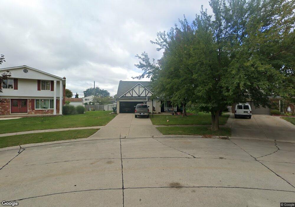
11879 Cocoa Ct Sterling Heights, MI 48312
Estimated Value: $288,584 - $325,000
--
Bed
1
Bath
1,569
Sq Ft
$192/Sq Ft
Est. Value
About This Home
This home is located at 11879 Cocoa Ct, Sterling Heights, MI 48312 and is currently estimated at $301,896, approximately $192 per square foot. 11879 Cocoa Ct is a home located in Macomb County with nearby schools including Bruce Collins Elementary School, Heritage Junior High School, and Davis Junior High School.
Ownership History
Date
Name
Owned For
Owner Type
Purchase Details
Closed on
Jun 18, 2018
Sold by
Pullis Kenneth A
Bought by
Joseph Matthew and Joseph Bridget
Current Estimated Value
Home Financials for this Owner
Home Financials are based on the most recent Mortgage that was taken out on this home.
Original Mortgage
$130,000
Outstanding Balance
$112,680
Interest Rate
4.6%
Mortgage Type
New Conventional
Estimated Equity
$189,216
Purchase Details
Closed on
Oct 8, 2012
Sold by
Pullis Kenneth A and Pullis Ann Marie
Bought by
Pullis Kenneth A and Kenneth A Pullis Trust
Create a Home Valuation Report for This Property
The Home Valuation Report is an in-depth analysis detailing your home's value as well as a comparison with similar homes in the area
Home Values in the Area
Average Home Value in this Area
Purchase History
| Date | Buyer | Sale Price | Title Company |
|---|---|---|---|
| Joseph Matthew | $170,000 | First American Title Insuran | |
| Pullis Kenneth A | -- | None Available |
Source: Public Records
Mortgage History
| Date | Status | Borrower | Loan Amount |
|---|---|---|---|
| Open | Joseph Matthew | $130,000 |
Source: Public Records
Tax History Compared to Growth
Tax History
| Year | Tax Paid | Tax Assessment Tax Assessment Total Assessment is a certain percentage of the fair market value that is determined by local assessors to be the total taxable value of land and additions on the property. | Land | Improvement |
|---|---|---|---|---|
| 2025 | $4,415 | $139,100 | $0 | $0 |
| 2024 | $4,038 | $134,600 | $0 | $0 |
| 2023 | $3,812 | $122,900 | $0 | $0 |
| 2022 | $3,974 | $112,200 | $0 | $0 |
| 2021 | $3,892 | $107,900 | $0 | $0 |
| 2020 | $3,471 | $99,500 | $0 | $0 |
| 2019 | $3,613 | $99,200 | $0 | $0 |
| 2018 | $2,618 | $87,900 | $0 | $0 |
| 2017 | $2,499 | $81,000 | $19,900 | $61,100 |
| 2016 | $2,414 | $81,000 | $0 | $0 |
| 2015 | -- | $74,300 | $0 | $0 |
| 2014 | -- | $65,300 | $0 | $0 |
Source: Public Records
Map
Nearby Homes
- 36460 Tarpon Dr
- 36876 Aaron Ct
- 36592 Cecilia Dr
- 13193 Metro Pkwy
- 12341 de Grove Dr
- 12245 Canterbury Dr
- 12312 Cabot Dr
- 12376 Canterbury Dr
- 36635 Kenneth Ct
- 35695 Bonneville Dr
- 36365 Idaho Dr
- 12851 Grand Haven Dr
- 37122 Clubhouse Dr
- 37122 Clubhouse Dr Unit 88
- 37611 Badger Dr
- 37313 Clubhouse Dr
- 37343 Clubhouse Dr
- 11859 Fairview Dr
- 12227 Polara Dr
- 35622 Malibu Dr
- 36564 Bagdad Dr
- 11865 Cocoa Ct
- 11908 Tahiti Dr
- 11884 Tahiti Dr
- 11922 Tahiti Dr
- 36550 Bagdad Dr
- 11870 Tahiti Dr
- 11841 Cocoa Ct
- 36601 Samoa Dr
- 36615 Samoa Dr
- 36565 Samoa Dr
- 36536 Bagdad Dr
- 36629 Samoa Dr
- 36543 Bagdad Dr
- 36551 Samoa Dr
- 36602 Tarpon Dr
- 36537 Samoa Dr
- 36616 Tarpon Dr
- 36522 Bagdad Dr
- 36529 Bagdad Dr