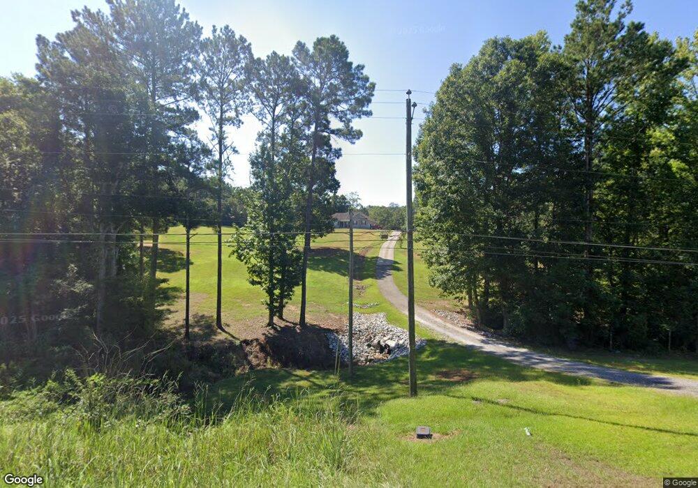
11882 Highway 22 E Daviston, AL 36256
Estimated Value: $151,000 - $335,000
--
Bed
--
Bath
2,133
Sq Ft
$124/Sq Ft
Est. Value
About This Home
This home is located at 11882 Highway 22 E, Daviston, AL 36256 and is currently estimated at $265,275, approximately $124 per square foot. 11882 Highway 22 E is a home located in Tallapoosa County with nearby schools including Horseshoe Bend High School.
Ownership History
Date
Name
Owned For
Owner Type
Purchase Details
Closed on
Sep 5, 2008
Sold by
Aaa General Contractors Inc
Bought by
Edwards Frederic Morrance
Current Estimated Value
Home Financials for this Owner
Home Financials are based on the most recent Mortgage that was taken out on this home.
Original Mortgage
$223,080
Interest Rate
6.49%
Mortgage Type
Purchase Money Mortgage
Create a Home Valuation Report for This Property
The Home Valuation Report is an in-depth analysis detailing your home's value as well as a comparison with similar homes in the area
Home Values in the Area
Average Home Value in this Area
Purchase History
| Date | Buyer | Sale Price | Title Company |
|---|---|---|---|
| Edwards Frederic Morrance | -- | -- |
Source: Public Records
Mortgage History
| Date | Status | Borrower | Loan Amount |
|---|---|---|---|
| Previous Owner | Edwards Frederic Morrance | $223,080 |
Source: Public Records
Tax History Compared to Growth
Tax History
| Year | Tax Paid | Tax Assessment Tax Assessment Total Assessment is a certain percentage of the fair market value that is determined by local assessors to be the total taxable value of land and additions on the property. | Land | Improvement |
|---|---|---|---|---|
| 2024 | $676 | $23,960 | $2,340 | $21,620 |
| 2023 | $691 | $48,900 | $4,680 | $44,220 |
| 2022 | $690 | $48,896 | $4,680 | $44,216 |
| 2021 | $655 | $46,512 | $4,680 | $41,832 |
| 2020 | $654 | $232,520 | $0 | $0 |
| 2019 | $654 | $232,520 | $0 | $0 |
| 2018 | $654 | $232,520 | $0 | $0 |
| 2017 | $654 | $232,520 | $0 | $0 |
| 2016 | $579 | $207,340 | $0 | $0 |
| 2015 | $573 | $205,280 | $0 | $0 |
| 2014 | $596 | $212,940 | $0 | $0 |
| 2013 | -- | $212,940 | $0 | $0 |
Source: Public Records
Map
Nearby Homes
- 10684 Alabama 22
- 0 Al Hy 22 Unit 24-1353
- 357 Walkabout Ranch Rd
- 3138 Lashley Rd
- 498 Crowe Rd
- 436 Crowe Rd
- 0 30+ - Acres On Hamlet Mill Rd
- 9150 Alabama 22
- 19207 Goldville Rd
- 0 Alabama 22 Unit 21544866
- 0 Bluff Springs Rd
- 0 Sand Pit Rd
- 0 + - 38 Acres Rock Springs Rd
- 0 Sweet Water Rd
- 25 Mcbride Loop
- 5554 Highway 22 E
- 945 Pate Rd
- 4626 Simpson Rd
- 206 Andrew Jackson Rd
- 50 Omega Ln
- 11994 Alabama 22
- 11994 E 22 Hwy
- 11992 Highway 22 E
- 13006 Highway 22 E
- 12013 Highway 22 E
- 11765 Highway 22 E
- 11471 Highway 22 E
- 11701 Highway 22 E
- 12094 Highway 22 E
- 12178 Highway 22 E
- 38 Wright Cir
- 68 Wright Cir
- 88 Wright Cir
- 11632 Highway 22 E
- 108 Wright Cir
- 11699 Highway 22 E
- 11532 Highway 22 E
- 462 Wright Cir
- 00 Wright Cir
- 223 Wright Cir
